Myślenice – Kudłacze
Trail map
Route, springs and shelters: © OpenStreetMap contributors (ODbL) · elevation: Copernicus DEM © DLR e.V., © Airbus DS · Data & licences
About the trail
Route Myślenice – Kudłacze. Has green marking (regional route, PTTK). Waymarking data: OpenStreetMap (© OpenStreetMap contributors, ODbL).
Officially marked regional tourist route. The marking is green, the sign is a horizontal stripe on a white background. Marked and maintained by: PTTK. Length of the route — 17.6 km. Location: mountain range — Ostry Beskid, Poland.
At a glance
A one-day route of 17.6 km with 941 m of ascent from Myślenice to Kudłacze. Estimated walking time: about 6 h, not counting stops. Difficulty: moderate. Waymarking: green.
Route stages
- 0–2 kmGentle ups and downs at 290–300 m
- 2–5 kmClimb of 350 m to Wierch Stróża (648 m)
- 5–11 kmGentle ups and downs at 400–650 m, past Patyków, Działek
- 11–13 kmClimb of 370 m to Kamiennik Północny (785 m)
- 13–18 kmGentle ups and downs at 710–830 m, past Kamiennik Południowy
Steepest kilometre: km 2–3, a climb of 190 m (≈19%).
Water and overnight stays
Our map shows no springs near the trail — bring your own water (at least 3 l).
Huts and shelters near the trail: PTTK Hut on Kudłacze (km 18).
When to go
The route can be walked most of the year; it is most comfortable from April to October.
Getting there
Start: Myślenice. This is a one-way route: the finish is 7 km from the start in a straight line, so plan your way back in advance.
FAQ
- How long does the route take?
- Estimated walking time: about 6 h, not counting stops.
- Is there water on the route?
- Our map shows no springs near the trail — bring your own water (at least 3 l).
- Where can I stay overnight?
- Huts and shelters near the trail: PTTK Hut on Kudłacze (km 18).
Water and shelter on the route
- PTTK Hut on Kudłaczekm 17.5 from the start · Standing · 730 m
Comments
Trails nearby
All trails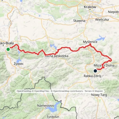 HardMulti-dayMarkedMały Szlak BeskidzkiElevation profile282–1 022 m134.7 kmascent 5 091 m
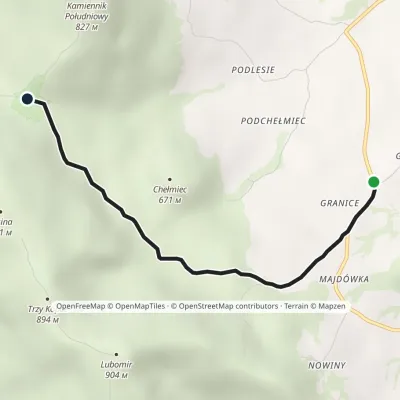 EasyOne-dayMarkedLipnik (Wiśniowa commune) Sucha PolanaElevation profile480–709 m3.5 kmascent 234 m≈ 1.5 h walking
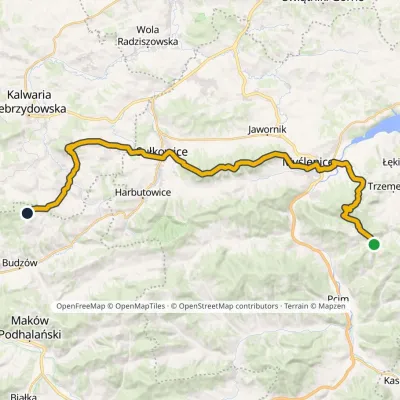 HardMulti-dayMarkedDziałek Chełm WschodniElevation profile274–680 m38.8 kmascent 1 018 m≈ 11.5 h walking
Craft nearby
All craft places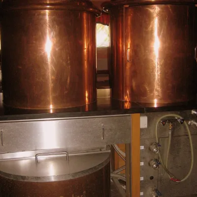 Craft shopsCistercian monastery shop, Szczyrzyc: abbey cheese, milk and Gryf beer18 km from the trailIts heart is the Cistercian abbey: the monks arrived in the first half of the 13th century and, according to the monastery itself, have lived here without interruption...
 Water parks & thermal poolsTermy Gorce thermal baths24 km from the trailTermy Gorce is a small, cosy thermal complex in the village of Poręba Wielka, in the municipality of Niedźwiedź, at the foot of the Gorce Mountains.
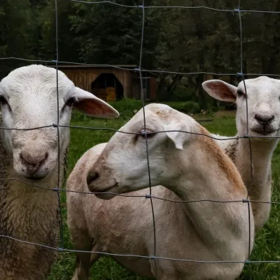 Eco farmsOrawskie Ranczo Educational Farm, Harkabuz: animals and craft workshops33 km from the trailOrawskie Ranczo is a small family educational farm (zagroda edukacyjna) in the village of Harkabuz near Raba Wyżna, where Orawa meets Podhale.
 Markets & fairsNowy Targ Fair (Nowa Targowica)38 km from the trailThe fair in Nowy Targ is the largest and oldest market in Podhale. On Thursdays and Saturdays highlanders from the surrounding villages, Slovaks from across the border...
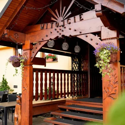 Koliby & Hutsul cuisineKarcma u Borzanka, Nowy Targ: highland food in an 18th-century inn39 km from the trailKarcma u Borzanka is a highland tavern in the oldest coaching inn of Nowy Targ, the capital of Podhale.
 Markets & fairsLipnica Murowana Palm Contest: giant Easter palms and fair42 km from the trailLipnica Murowana is a tiny historic town on the Wiśnicz Foothills, among orchards and hills between Bochnia and Limanowa.
