Condition
Not verifiedNo recent reports. Bring a tent and, if you pass by, tell us what you saw.
- 704 m
About
Gorgany range, about 700 m above sea level. The nearest settlement is Stara Huta, about 2.3 km in a straight line. 8 of the site’s trails pass nearby, including “Stara Huta village, via Mount Syvulia, Legioniv Pass, Mount Bratkivska, Mount Chorna Kleva, Mount Ploska and Mount Dovha to Polianytsia village”.
On the map
Coordinates: 48.61195, 24.19409
How to get there
Trails nearby
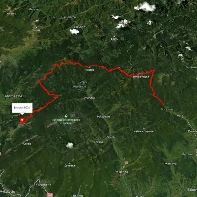 HardMulti-dayUnmarkedStara Huta village to Polianytsia villagevia Mount Syvulia, Legioniv Pass +4Elevation profile705–1 796 m67.5 kmascent 3 798 m
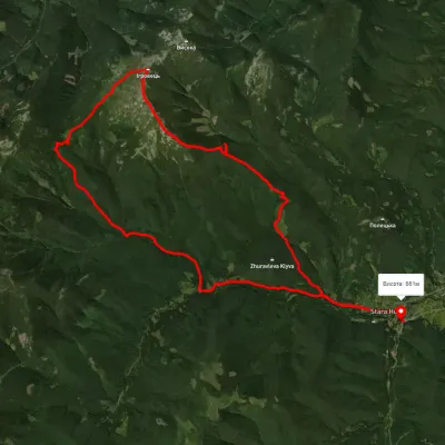 HardMulti-dayUnmarkedStara Huta village loopvia Mount IhrovetsElevation profile650–1 797 m29.9 kmascent 1 475 m≈ 10.5 h walking
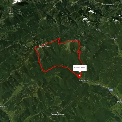 HardMulti-dayUnmarkedStara Huta village loopvia Mount Vysoka, Mount Borevka +2Elevation profile685–1 815 m36.8 kmascent 1 710 m≈ 12.5 h walking
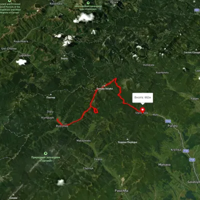 HardMulti-dayUnmarkedBystrytsia village to Stara Huta villagevia Mount Syvulia, Mount Lopushna +1Elevation profile278–1 820 m43.5 kmascent 1 845 m
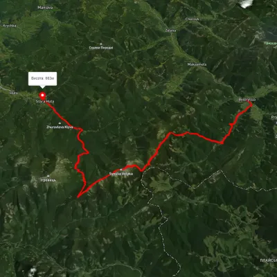 HardMulti-dayUnmarkedBystrytsia village to Stara Huta villagevia Mount Syvulia, Mount Lopushna +1Elevation profile655–1 825 m43.8 kmascent 1 353 m≈ 13.5 h walking
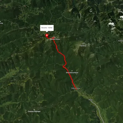 HardTwo-dayUnmarkedStara Huta village to Rushchyna polonynavia the Vodospadnyi Pass, Mount Velyka SyvuliaElevation profile670–1 834 m20 kmascent 1 854 m≈ 8.5 h walking
Nearest settlement: Stara Huta, about 2.3 km in a straight line.
Report the condition
Been here recently? Tell us what you saw and add photos — your report appears on the page right away with today’s date.
No photos yet — send yours together with a condition report.
