Condition
Not verifiedNo recent reports. Bring a tent and, if you pass by, tell us what you saw.
- 1 509 m
About
Marmarosy range, about 1 510 m above sea level. Mount Stih (1 653 m) is about 500 m away. The nearest settlement is Burkut, about 11 km in a straight line. 8 of the site’s trails pass nearby, including “Shybene village, via Mount Pip Ivan Chornohirskyi and Mount Pip Ivan Marmaroskyi to Dilove village”.
The nearest known spring is 90 m away.
On the map
Coordinates: 47.97284, 24.56451
How to get there
Trails nearby
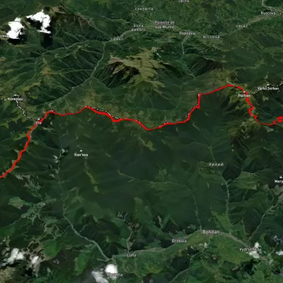 HardMulti-dayUnmarkedShybene village to Dilove villagevia Mount Pip Ivan Chornohirskyi, Mount Pip Ivan MarmaroskyiElevation profile355–2 010 m65 kmascent 3 203 m
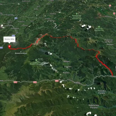 HardMulti-dayUnmarkedDilove village to the Vorokhta roadvia Mount Pip Ivan Marmaroskyi, Mount Pip Ivan Chornohirskyi +1Elevation profile328–2 024 m80.5 kmascent 3 876 m
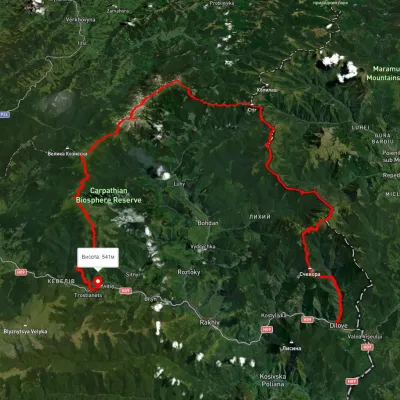 HardMulti-dayUnmarkedDilove village to Kvasy villagevia Mount Pip Ivan Marmaroskyi, Mount Pip Ivan Chornohirskyi +2Elevation profile348–2 033 m102.9 kmascent 5 069 m
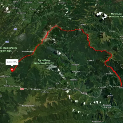 HardMulti-dayUnmarkedDilove village to Lazeshchyna villagevia Mount Pip Ivan Marmaroskyi, Mount Mika-Mare +2Elevation profile354–2 002 m88.8 kmascent 4 087 m
 HardMulti-dayUnmarkedRakhiv to Dzembronia villagevia Mount Pip Ivan Marmaroskyi, Mount Mika-Mare +1Elevation profile437–1 998 m67.8 kmascent 3 766 m
 ModerateTwo-dayUnmarkedMount Mezhypotoky to Radul polonynavia Mount Mika-Mare, Mount Steavul +1Elevation profile1 522–1 848 m17.6 kmascent 561 m≈ 5.5 h walking
Nearest settlement: Burkut, about 11 km in a straight line.
Report the condition
Been here recently? Tell us what you saw and add photos — your report appears on the page right away with today’s date.
No photos yet — send yours together with a condition report.
