Condition
StandingLatest report: standing, usable as a shelter.
As of 09.11.2026 · checked by our editors
- 1 234 m
- Sleeps up to 50
- Staffed
- All year
- Paid overnight stay
Practical info
- Season: All year
- Contacts: +380 95 846 2170 · +380 67 800 6825 · perelisok.com.ua Call to check availability. (number checked against an official source, 09.11.2026)
About
The Perelisok tourist hut stands at about 1,240 m on the southern spurs of the Svydovets range above Rakhiv. It offers hostel-style rooms, a self-catering kitchen with a gas stove and electricity; in winter it is heated with wood and has a drying room for gear, and there is space for tents. The shortest way up is the yellow trail from the village of Bilyn, about 7 km; the blue trail from Rakhiv railway station is about 11 km. Other paths come from Kvasy via the Bilyn meadow or via Blyznytsia, and from Drahobrat via Blyznytsia; the hut is a handy finish for a traverse of the whole Svydovets ridge from Ust-Chorna. From May to October only 4×4 vehicles can drive up the mountain road from Rakhiv; in winter the hut is reached on foot, so bring snowshoes. Overnight stays are paid — call to check availability.
Comments
Travellers’ experience: reports, tips, questions.
No one has written here yet. Be the first — your experience helps others.
On the map
Coordinates: 48.13329, 24.20304
How to get there
Trails nearby
 Hard1–2 daysDragobrat to Rakhivvia Mount BlyznytsiaElevation profile446–1 883 m37 kmascent 696 m≈ 10.5 h walking
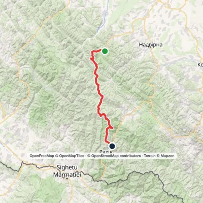 HardMulti-dayStara Huta village to Bilyn villagevia Mount Vysoka, Mount Syvulia +4Elevation profile484–1 883 m95.9 kmascent 5 352 m
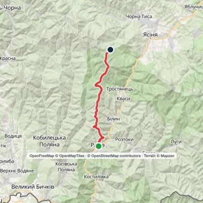 Hard1–2 daysRakhiv to Dragobratvia Mount BlyznytsiaElevation profile443–1 883 m29.7 kmascent 1 842 m≈ 10.5 h walking
 HardMulti-dayRakhiv to Yasiniavia Mount Blyznytsia, Mount Stih +3Elevation profile431–1 883 m65 kmascent 2 859 m
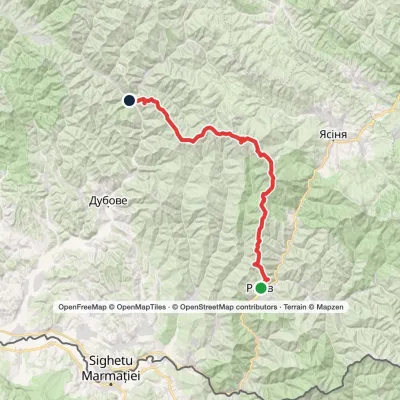 HardMulti-dayMarkedRakhiv to Ust-Chorna villagevia Mount Blyznytsia, Mount Unhariaska +1Elevation profile527–1 883 m63 kmascent 2 430 m
 Hard1–2 daysRakhiv to Kvasy villagevia Mount BlyznytsiaElevation profile439–1 883 m31.7 kmascent 2 035 m≈ 11.5 h walking
Nearest settlement: Bilyn, about 4.6 km in a straight line.
Report the condition
Been here recently? Tell us what you saw and add photos — your report appears on the page right away with today’s date.
No photos yet — send yours together with a condition report.
