Picnic shelter
Picnic shelter below Magurka (west slope), 1 172 m
Slovakia · Spiš Magura range · 1 172 m
Condition
Not verifiedNo recent reports. Bring a tent and, if you pass by, tell us what you saw.
Last edited on the OSM map 11.08.2026
- 1 172 m
About
Spiš Magura range, about 1 170 m above sea level. 3 of the site’s trails pass nearby, including “Magurka – Łapszanka, chapel”.
On the map
Coordinates: 49.29099, 20.26238
How to get there
Trails nearby
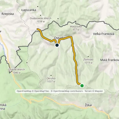 EasyOne-dayMarkedMagurka Łapszanka, chapelElevation profile694–1 179 m10.6 kmascent 272 m≈ 3 h walking
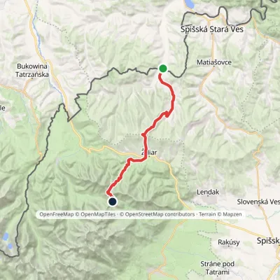 HardTwo-dayMarkedTatranská magistrála (Tatra Highway)Elevation profile613–1 933 m21.2 kmascent 1 744 m≈ 9 h walking
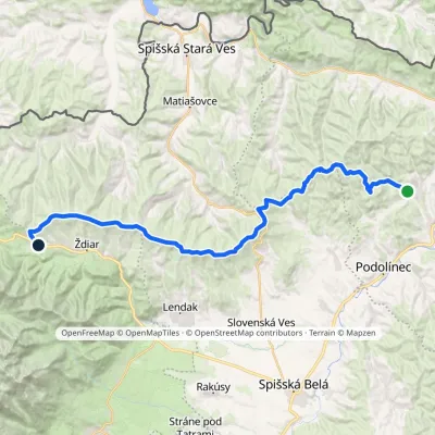 HardMulti-dayMarkedVyšné Ružbachy, spa Strednica, ski areaElevation profile637–1 198 m34.1 kmascent 1 105 m≈ 10.5 h walking
Report the condition
Been here recently? Tell us what you saw and add photos — your report appears on the page right away with today’s date.
No photos yet — send yours together with a condition report.
