Gorlice County
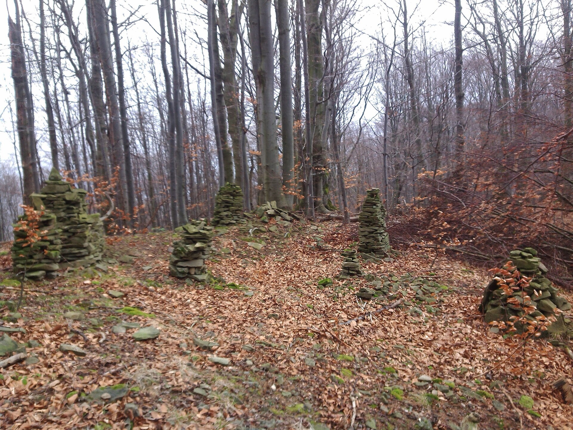
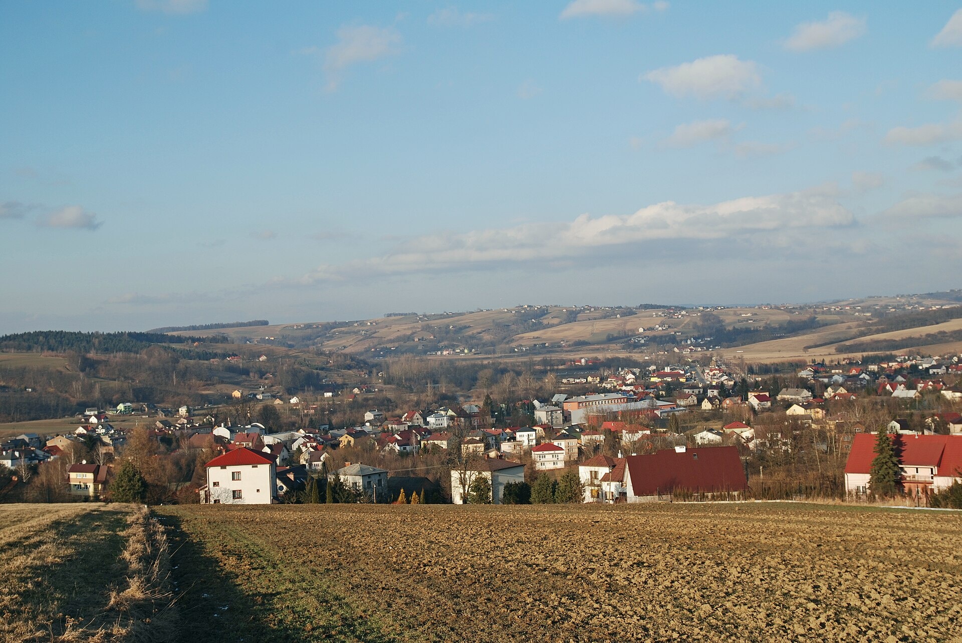
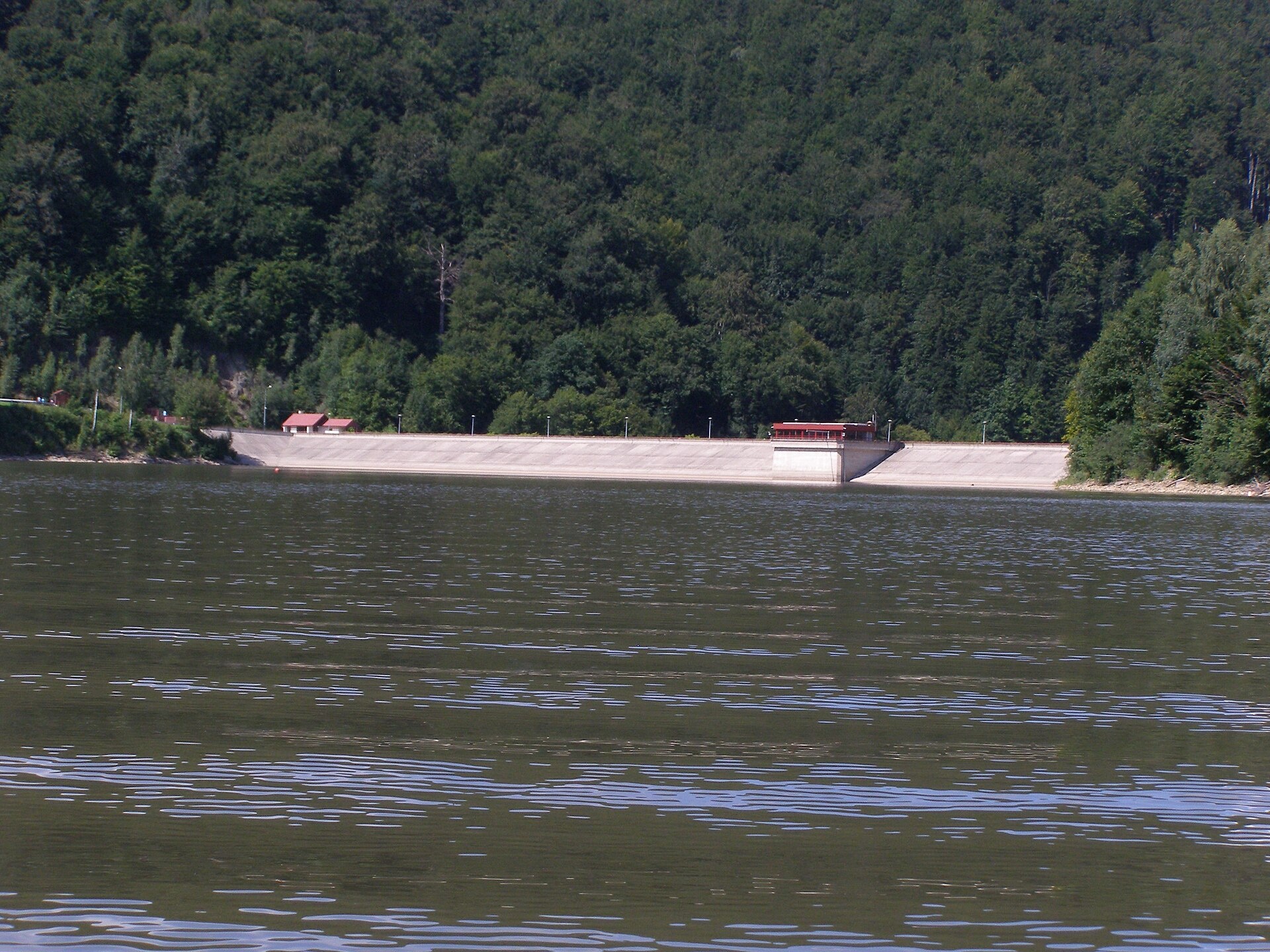
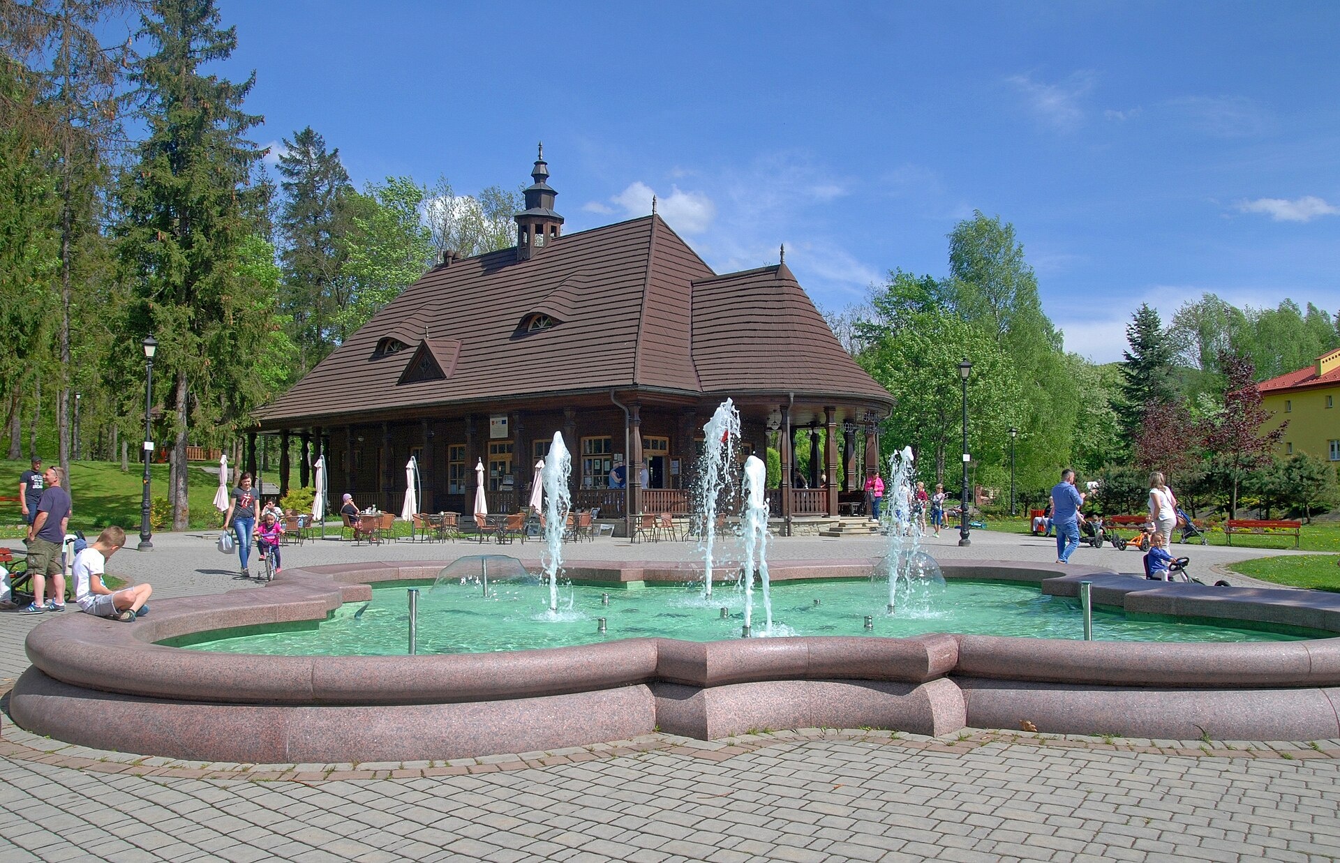
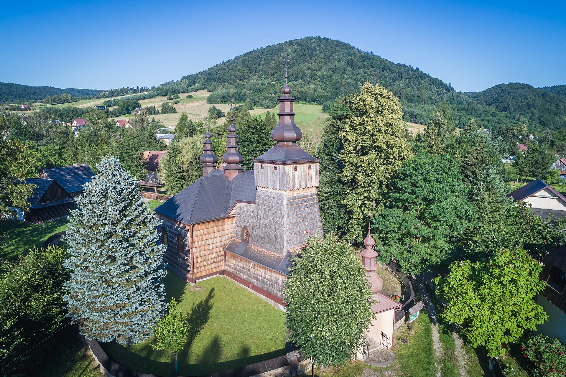
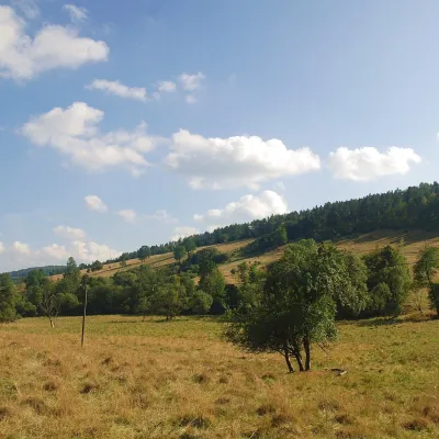
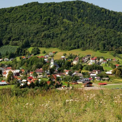
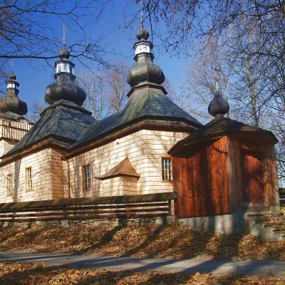
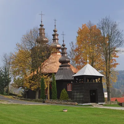
Photos: Ropki (Paweł Krawczyk, CC BY-SA 3.0); Bobowa (Henryk Bielamowicz, CC BY-SA 4.0); Klimkówka (Andrzej Otrębski, CC BY-SA 3.0); Wysowa-Zdrój (Henryk Bielamowicz, CC BY-SA 4.0); Łosie (Piter329c, CC BY 4.0)
Gorlice County is an administrative unit in Poland (Lesser Poland Voivodeship). On the site here: 23 trails, 3 peaks, 10 sights, 3 craft places, 1 spa or thermal pool, 1 mountain hut or shelter.
Facts: Wikidata, OpenStreetMap.
Towns and villages
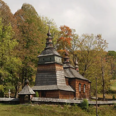 Bartne2 trails, 1 sight, 1 mountain hut or shelter
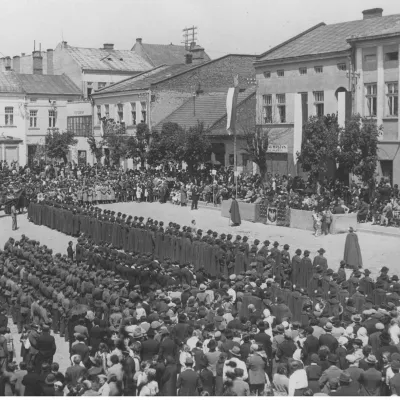 Gorlice2 trails, 1 sight
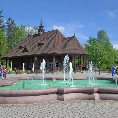 Wysowa-Zdrój2 trails, 1 spa or thermal pool
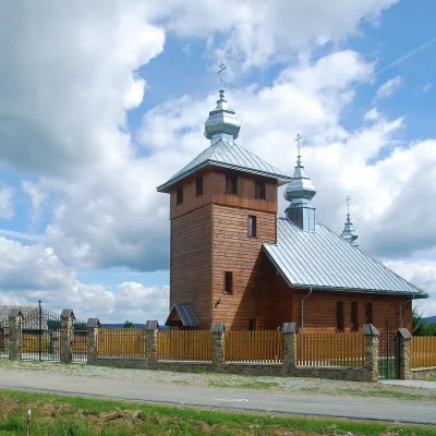 Regietów2 trails, 1 peak
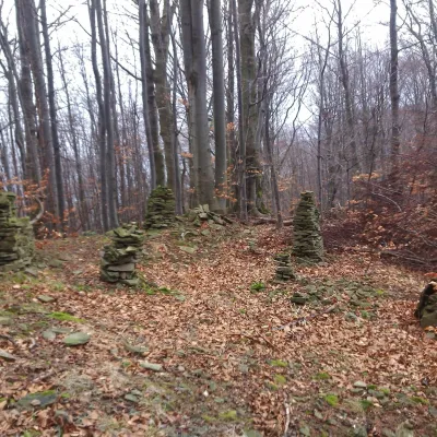 Ropki1 trail
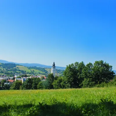 Biecz1 trail, 1 sight
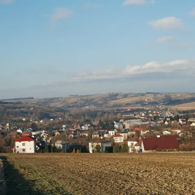 Bobowa2 craft places
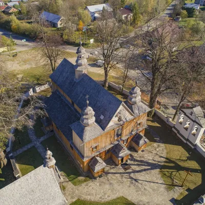 Szalowa2 trails
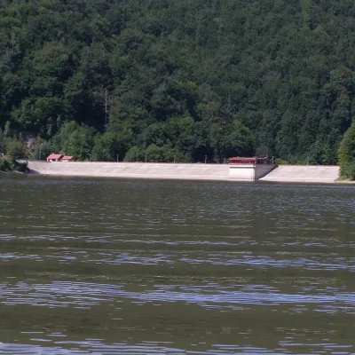 Klimkówka1 trail, 1 sight
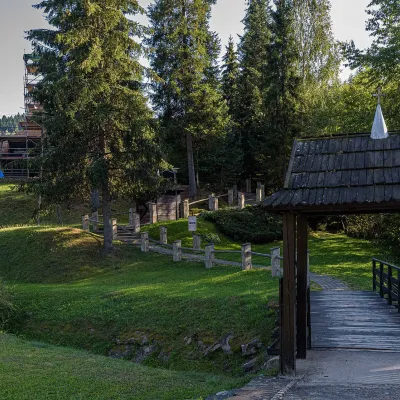 Czarna2 trails
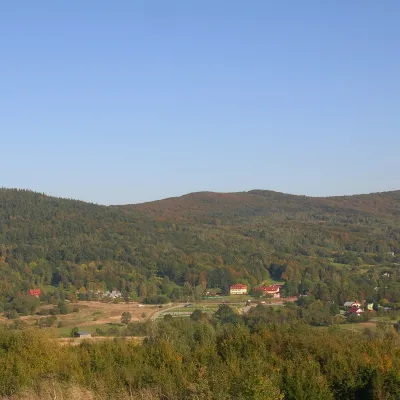 Wapienne2 trails
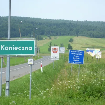 Konieczna1 trail, 1 peak
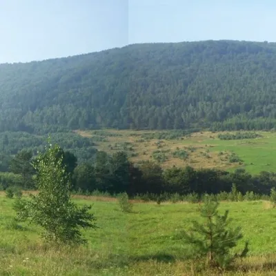 Izby1 trail, 1 peak
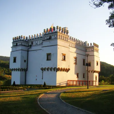 Szymbark1 sight
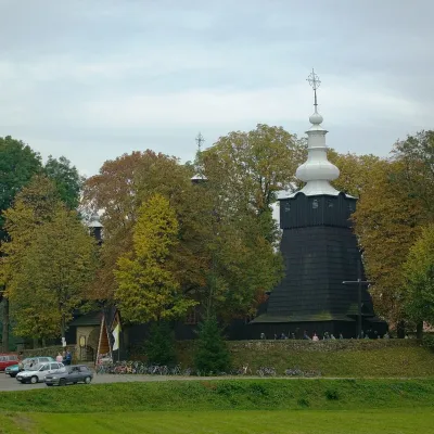 Brunary1 sight
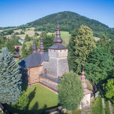 Łosie1 sight
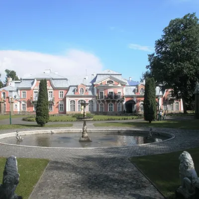 Siary1 sight
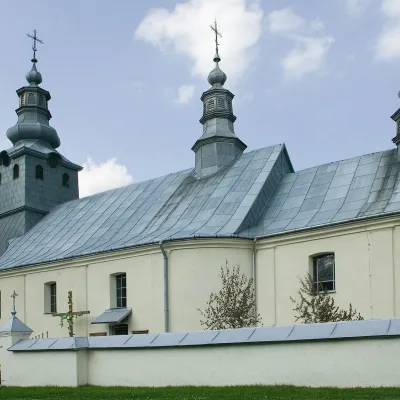 Małastów1 trail
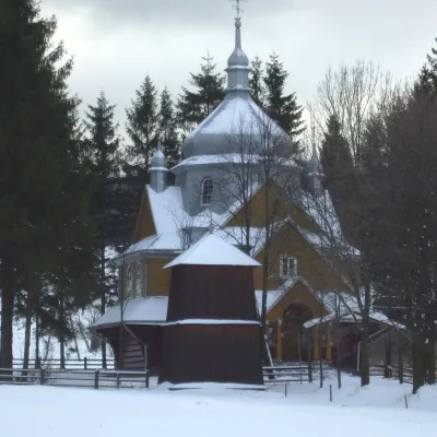 Gładyszów1 craft place
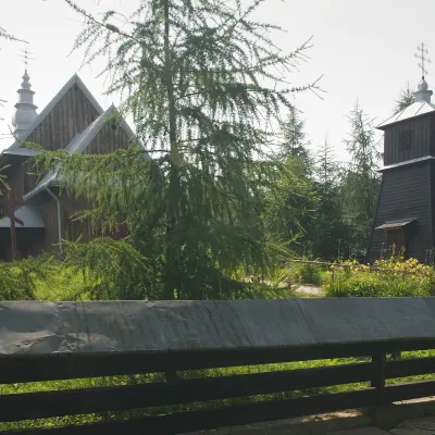 Rozdziele1 trail
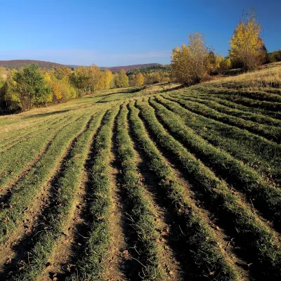 Owczary1 sight
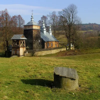 Zdynia1 trail
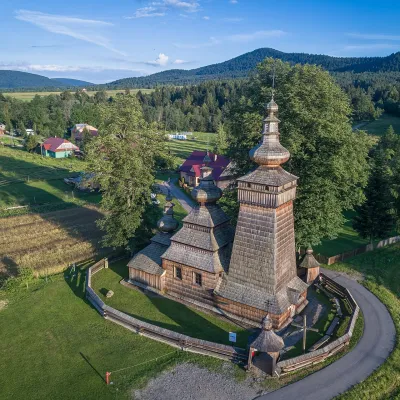 Kwiatoń1 sight
 Czarne1 trail
 Uście GorlickieKorczyna
 Hańczowa
 BanicaMęcina Mała
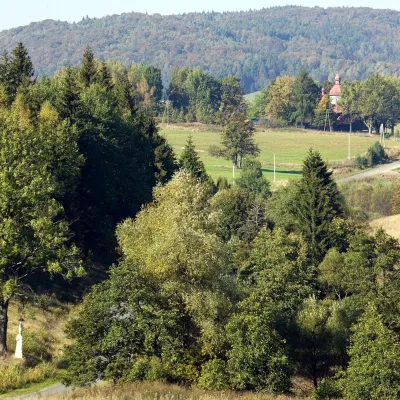 Krzywa
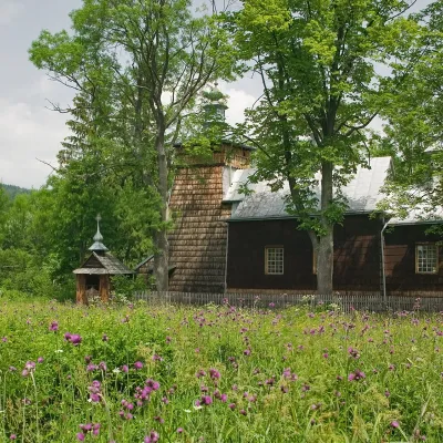 Nowica
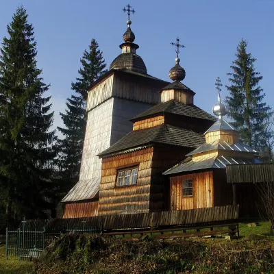 WołowiecRadocyna
Getting there from Ukraine
Border crossings
- Krakovets – Korczowa — road, 24/7
- Shehyni – Medyka — road, 24/7 Pedestrian crossing is not confirmed by the Ukrainian border service — check dpsu.gov.ua before the trip.
- Smilnytsia – Krościenko — road, 24/7
- Hrushiv – Budomierz — road, 24/7
- Mostyska – Przemyśl (rail) — rail, 24/7
By car
Lviv – Krynica-Zdrój ≈338 km, ≈5 h without queues: M-10 to Krakovets → Krakovets – Korczowa checkpoint → toll-free A4 via Rzeszów to Tarnów (≈163 km) → DW977 towards Gorlice → DW981 to Krynica (≈260 km, ≈3 h 35 min from the border). Via Smilnytsia – Krościenko the distance is about the same (≈335 km) but the mountain roads are slow (≈7 h 40 min): DK84 – Sanok – DK28 via Krosno and Gorlice.
Checked 23.10.2026; border crossing hours and timetables change — check before you travel.
