Condition
Has waterLatest report: there is water.
- 1 055 m
- Marked as drinkable
About
Svydovets range, about 1 060 m above sea level. The nearest settlement is Yasinya, about 3.6 km in a straight line. 4 of the site’s trails pass nearby, including “Kvasy village, via Mount Blyznytsia and Dragobrat to Yasinia”.
The water is marked as drinkable on the map, but nobody guarantees its quality.
On the map
Coordinates: 48.25348, 24.29723
How to get there
Trails nearby
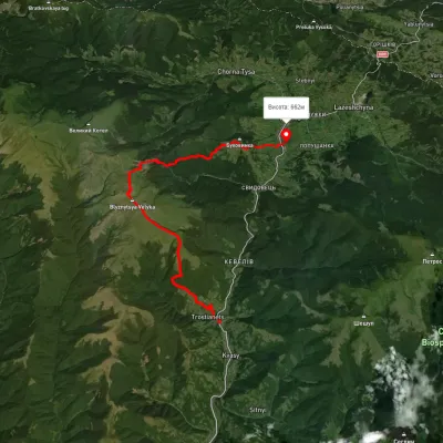 HardMulti-dayUnmarkedKvasy village to Yasiniavia Mount Blyznytsia, DragobratElevation profile546–1 875 m26.1 kmascent 1 642 m≈ 10 h walking
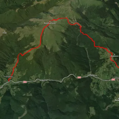 HardTwo-dayUnmarkedKvasy village to Yasiniavia Mount Blyznytsia, DragobratElevation profile558–1 859 m22.6 kmascent 1 609 m≈ 9 h walking
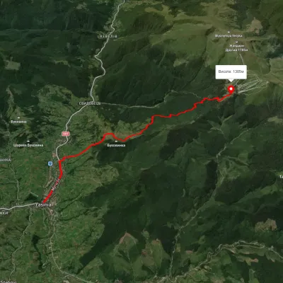 ModerateOne-dayMarkedYasinia DragobratElevation profile636–1 303 m12 kmascent 1 237 m≈ 5.5 h walking
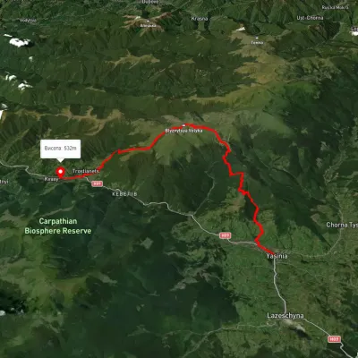 HardMulti-dayUnmarkedYasinia to Kvasy villagevia Dragobrat, Mount BlyznytsiaElevation profile532–1 849 m26.6 kmascent 1 670 m≈ 10 h walking
Nearest settlement: Yasinya, about 3.6 km in a straight line.
Report the condition
Been here recently? Tell us what you saw and add photos — your report appears on the page right away with today’s date.
No photos yet — send yours together with a condition report.
