Condition
Has waterLatest report: there is water.
- 1 093 m
- Dries out in summer or drought
About
Watershed Ridge range, about 1 090 m above sea level. The nearest settlement is Uzhok, about 3.4 km in a straight line. 8 of the site’s trails pass nearby, including “Uzhok village, via Mount Drohobytskyi Kamin, Starostyna village, Mount Velykyi Verkh, Mount Pikui and Shcherbovets village to Zhdeniievo village”.
This spring dries out in summer or in dry years, so do not rely on it as your only water.
On the map
Coordinates: 48.95602, 22.87168
How to get there
Trails nearby
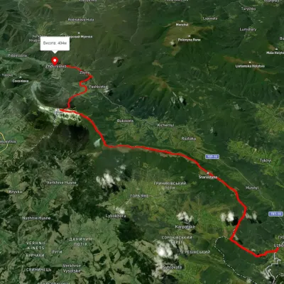 HardMulti-dayUnmarkedUzhok village to Zhdeniievo villagevia Mount Drohobytskyi Kamin, Starostyna village +3Elevation profile393–1 336 m36.4 kmascent 1 520 m≈ 12 h walking
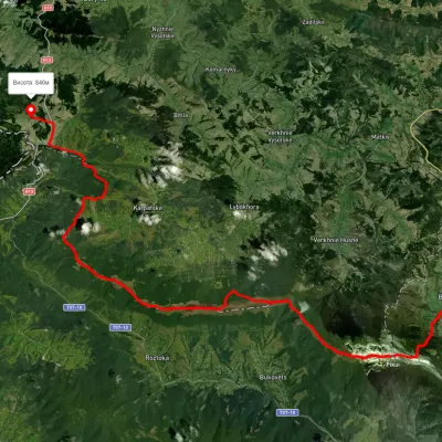 HardMulti-dayUnmarkedSianky village to Bilasovytsia villagevia Mount Drohobytskyi Kamin, the Ruska Put Pass +1Elevation profile556–1 384 m38 kmascent 1 666 m≈ 13 h walking
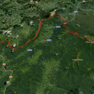 HardMulti-dayUnmarkedSianky village to Turychky villagevia Mount Starostyna, Mount Pikui +3Elevation profile358–1 475 m80.2 kmascent 2 985 m
 HardMulti-dayMarkedTranscarpathian Tourist TrailElevation profile198–2 031 m393.2 kmascent 30 283 m
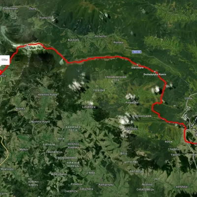 HardMulti-dayUnmarkedSianky village to Bilasovytsia villagevia Mount Starostyna, Mount Velykyi Verkh +1Elevation profile550–1 336 m36.5 kmascent 1 520 m≈ 12 h walking
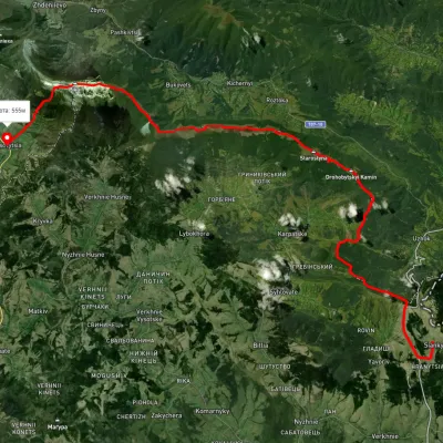 HardMulti-dayUnmarkedSianky village to Bilasovytsia villagevia the Verkhovyna Watershed ridge, Mount PikuiElevation profile558–1 388 m40.9 kmascent 1 396 m≈ 13 h walking
Nearest settlement: Uzhok, about 3.4 km in a straight line.
Report the condition
Been here recently? Tell us what you saw and add photos — your report appears on the page right away with today’s date.
No photos yet — send yours together with a condition report.
