Condition
Not verifiedNo recent reports. Carry water and, if you pass by, tell us what you saw.
- 1 134 m
About
Watershed Ridge range, about 1 130 m above sea level. The nearest settlement is Shcherbovets, about 3.3 km in a straight line. 5 of the site’s trails pass nearby, including “Lumshory village, via Runa polonyna, Pashkivtsi village, Mount Pikui, the Ruska Put Pass, Perekhresne village, Mount Ostra Hora and Mount Liutianska Holytsia to Lumshory village”.
On the map
Coordinates: 48.82891, 22.98983
How to get there
Trails nearby
 HardMulti-dayUnmarkedLumshory village loopvia Runa polonyna, Pashkivtsi village +5Elevation profile448–1 464 m72.2 kmascent 4 162 m
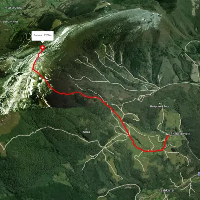 ModerateOne-dayUnmarkedShcherbovets village Mount PikuiElevation profile507–1 335 m6.1 kmascent 859 m≈ 3 h walking
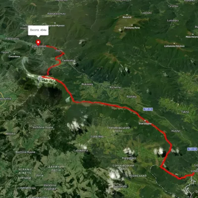 HardMulti-dayUnmarkedUzhok village to Zhdeniievo villagevia Mount Drohobytskyi Kamin, Starostyna village +3Elevation profile393–1 336 m36.4 kmascent 1 520 m≈ 12 h walking
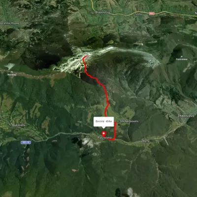 EasyOne-dayMarkedPashkivtsi Mount Pikuivia ShcherbovetsElevation profile464–1 376 m6.8 kmascent 58 m≈ 2 h walking
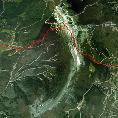 ModerateOne-dayUnmarkedBilasovytsia village to Shcherbovets villagevia Mount PikuiElevation profile507–1 334 m9.9 kmascent 757 m≈ 4 h walking
Nearest settlement: Shcherbovets, about 3.3 km in a straight line.
Report the condition
Been here recently? Tell us what you saw and add photos — your report appears on the page right away with today’s date.
No photos yet — send yours together with a condition report.
