Condition
Not verifiedNo recent reports. Carry water and, if you pass by, tell us what you saw.
- 1 144 m
About
Borzhava range, about 1 140 m above sea level. The nearest settlement is Potik, about 2.4 km in a straight line. 8 of the site’s trails pass nearby, including “Vovchyi village, via Mount Stiy, Mount Zhyd-Mahura, Pryslip Pass, Kuk polonyna, Mount Korytyshche and Shyroke village to Nyzhnii Bystryi village”.
On the map
Coordinates: 48.59622, 23.31625
How to get there
Trails nearby
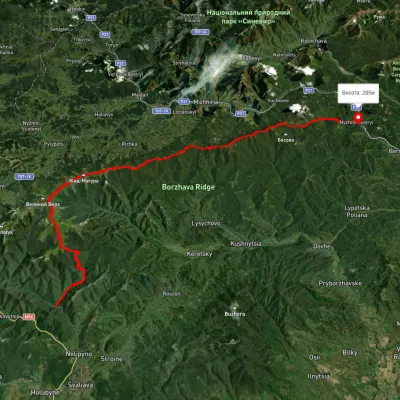 HardMulti-dayUnmarkedVovchyi village to Nyzhnii Bystryi villagevia Mount Stiy, Mount Zhyd-Mahura +4Elevation profile285–1 649 m60.7 kmascent 2 680 m
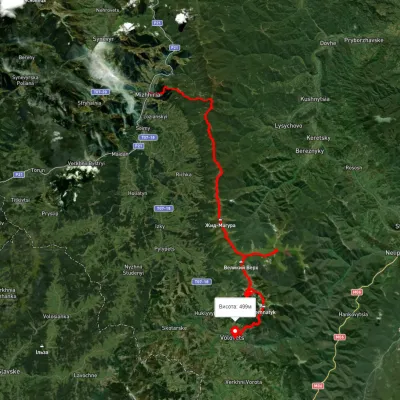 HardMulti-dayUnmarkedMizhhiria to Volovets villagevia Mount Zhyd-Mahura, Mount Hemba +2Elevation profile434–1 664 m56.4 kmascent 3 196 m
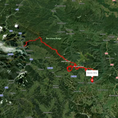 HardMulti-dayUnmarkedMizhhiria to Volovetsvia Mount Zhyd-Mahura, Mount Hemba +1Elevation profile430–1 478 m79.4 kmascent 3 584 m
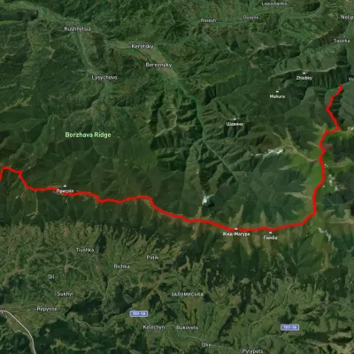 HardMulti-dayUnmarkedVovchyi village to Mizhhiriavia Mount Stiy, Mount Hemba +2Elevation profile342–1 668 m45.1 kmascent 2 350 m
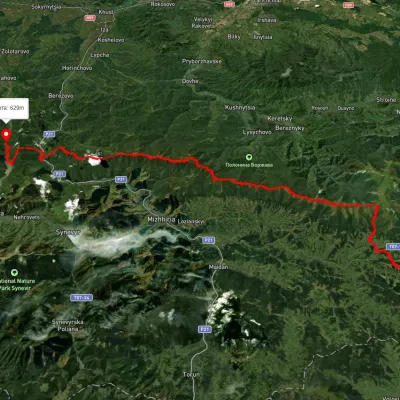 HardMulti-dayUnmarkedSkotarske village to Vilshanske reservoirvia Borzhava polonyna, Palenyi Hrun polonynaElevation profile315–1 504 m72.3 kmascent 3 487 m
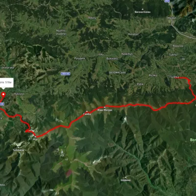 HardMulti-dayUnmarkedTiushka village to Volovetsvia Mount Zhyd-Mahura, Mount Hemba +1Elevation profile499–1 585 m35.2 kmascent 1 544 m≈ 12 h walking
Nearest settlement: Potik, about 2.4 km in a straight line.
Report the condition
Been here recently? Tell us what you saw and add photos — your report appears on the page right away with today’s date.
No photos yet — send yours together with a condition report.
