Condition
Not verifiedNo recent reports. Carry water and, if you pass by, tell us what you saw.
Last edited on the OSM map 22.04.2024
- 1 116 m
- Not for drinking
About
Gorgany range, about 1 120 m above sea level. Mount Maly Gorgan (1 592 m) is about 1.2 km away. The nearest settlement is Polianytsia (Bukovel), about 3.7 km in a straight line. 7 of the site’s trails pass nearby, including “Tatariv village, via Mount Khomiak, Mount Syniak and Mount Malyi Horhan to Polianytsia village”.
This water is not fit for drinking. The nearest hut or shelter is “Mountain shelter on Polonyna Blazhniv”, 1.1 km away.
In an emergency in the mountains call the rescuers: 101 or 112.
Comments
Travellers’ experience: reports, tips, questions.
No one has written here yet. Be the first — your experience helps others.
On the map
Coordinates: 48.38964, 24.43402
How to get there
Trails nearby
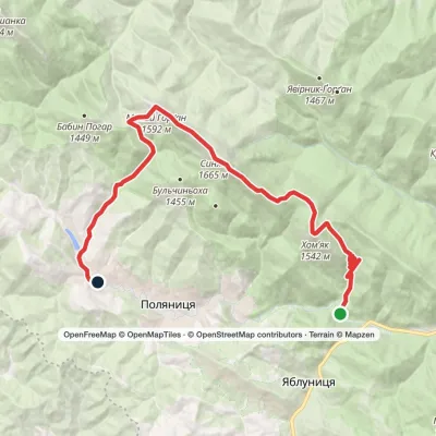 HardOne-dayMarkedTatariv village to Polianytsia villagevia Mount Khomiak, Mount Syniak +1Elevation profile783–1 665 m19 kmascent 1 163 m≈ 6.5 h walking
 ModerateOne-dayMarkedPolianytsia village loopvia Mount Malyi HorhanElevation profile893–1 592 m16.2 kmascent 872 m≈ 5.5 h walking
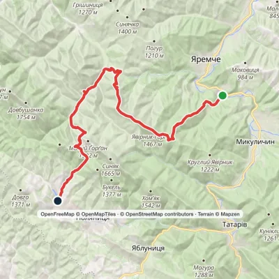 Hard1–2 daysMarkedYaremche to Polianytsia (Bukovel) villagevia Mount YavirnykElevation profile546–1 467 m36.1 kmascent 1 519 m≈ 11.5 h walking
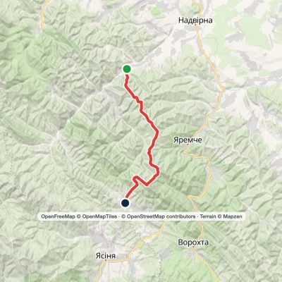 Hard1–2 daysPasichna village to Polianytsia villagevia Mount Syniak, Mount Malyi HorhanElevation profile556–1 665 m33.8 kmascent 2 099 m≈ 12 h walking
 ModerateOne-dayMarkedPolianytsia village loopvia Mount Malyi Horhan, Mount SyniakElevation profile899–1 665 m15.6 kmascent 904 m≈ 5.5 h walking
 HardTwo-dayYaremche to Tatariv villagevia the Yavirnyk ridge, Zhenetskyi Huk Waterfall +4Elevation profile507–1 665 m46.8 kmascent 2 294 m
Nearest settlement: Polianytsia (Bukovel), about 3.7 km in a straight line.
Report the condition
Been here recently? Tell us what you saw and add photos — your report appears on the page right away with today’s date.
No photos yet — send yours together with a condition report.
