Condition
Weak flowWeak flow — slow to fill, may disappear in hot weather.
- 973 m
- Dries out in summer or drought
About
Gorgany range, about 970 m above sea level. The nearest settlement is Mykulychyn, about 7.6 km in a straight line. 7 of the site’s trails pass nearby, including “Yamna village, via the Yavirnyk ridge to Yaremche”.
This spring dries out in summer or in dry years, so do not rely on it as your only water. The flow is weak: filling a bottle takes time.
On the map
Coordinates: 48.42449, 24.51628
How to get there
Trails nearby
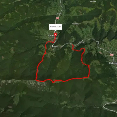 HardTwo-dayUnmarkedYamna village to Yaremchevia the Yavirnyk ridgeElevation profile519–1 457 m18.4 kmascent 1 227 m≈ 7 h walking
 ModerateOne-dayUnmarkedYaremche loopvia Yavirnyk ridgeElevation profile529–1 450 m12.9 kmascent 1 220 m≈ 5.5 h walking
 ModerateOne-dayMarkedYaremche loopvia Yavir polonyna, Vovcha polonynaElevation profile526–1 194 m12.6 kmascent 1 197 m≈ 5.5 h walking
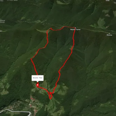 ModerateOne-dayUnmarkedYaremche loopvia Mount YavirnykElevation profile599–1 462 m12.7 kmascent 998 m≈ 5 h walking
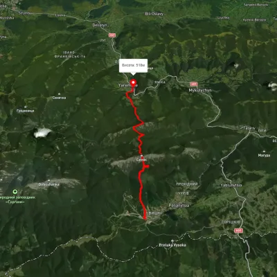 HardTwo-dayUnmarkedPolianytsia village to Yaremchevia Mount Syniak, Mount YavirnykElevation profile526–1 653 m21.2 kmascent 1 353 m≈ 8 h walking
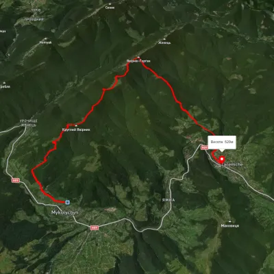 ModerateTwo-dayUnmarkedMykulychyn village to Yaremchevia Mount YavirnykElevation profile500–1 499 m19.3 kmascent 1 052 m≈ 7 h walking
Nearest settlement: Mykulychyn, about 7.6 km in a straight line.
Report the condition
Been here recently? Tell us what you saw and add photos — your report appears on the page right away with today’s date.
No photos yet — send yours together with a condition report.
