Condition
Not verifiedNo recent reports. Carry water and, if you pass by, tell us what you saw.
- 1 364 m
About
Marmarosy range, about 1 360 m above sea level. The nearest settlement is Bohdan, about 12 km in a straight line. 8 of the site’s trails pass nearby, including “Dilove village, via Mount Pip Ivan Marmaroskyi, Mount Chyvchyn, Shybene village, Mount Pip Ivan Chornohirskyi and Mount Hoverla to Hoverla village”.
On the map
Coordinates: 47.93297, 24.37626
How to get there
Trails nearby
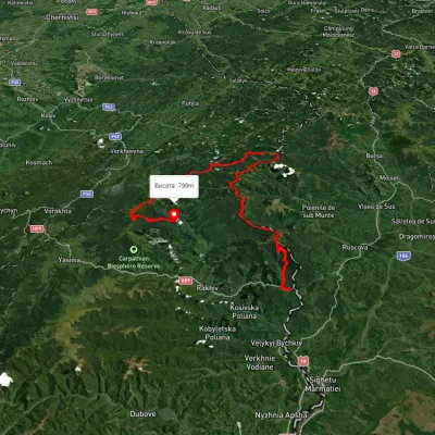 HardMulti-dayUnmarkedDilove village to Hoverla villagevia Mount Pip Ivan Marmaroskyi, Mount Chyvchyn +3Elevation profile317–2 020 m162.3 kmascent 5 379 m
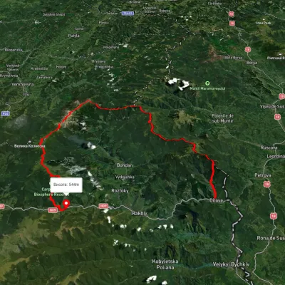 HardMulti-dayUnmarkedDilove village, Mount Pip Ivan Marmaroskyi, Mount Pip Ivan Chornohirskyi, Mount Hoverla and Mount Petros to Kvasy villageElevation profile359–2 014 m91.1 kmascent 5 532 m
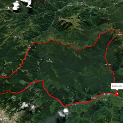 HardMulti-dayUnmarkedBohdan village loopvia Mount Pip Ivan Marmaroskyi, Mount Mika-Mare +2Elevation profile525–1 983 m79.4 kmascent 3 621 m
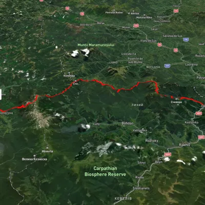 HardMulti-dayUnmarkedDilove village to Dzembronia villagevia Mount Pip Ivan Marmaroskyi, Mount Pip Ivan ChornohirskyiElevation profile356–2 015 m71.7 kmascent 3 720 m
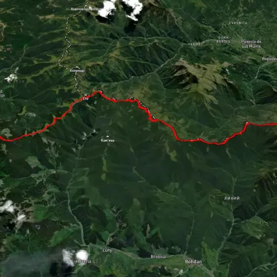 HardMulti-dayUnmarkedMount Pip Ivan Chornohirskyi to Mount Pip Ivan Marmaroskyivia Mount Stih, Mount Mala NenieskaElevation profile1 344–2 010 m36.6 kmascent 2 000 m≈ 13 h walking
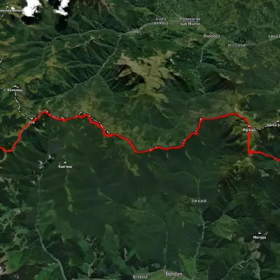 HardMulti-dayUnmarkedDilove village to Shybene villagevia Mount Pip Ivan Marmaroskyi, Mount Mika-Mare +1Elevation profile356–1 934 m66 kmascent 2 629 m
Nearest settlement: Bohdan, about 12 km in a straight line.
Report the condition
Been here recently? Tell us what you saw and add photos — your report appears on the page right away with today’s date.
No photos yet — send yours together with a condition report.
