Drinking water
Drinking water below Diely
Slovakia · Lesser Fatra range · 418 m
Condition
Not verifiedNo recent reports. Carry water and, if you pass by, tell us what you saw.
Last edited on the OSM map 22.08.2024
- 418 m
About
Lesser Fatra range, about 420 m above sea level. 4 of the site’s trails pass nearby, including “Súľov, parking – Rajecké Teplice, Hotel Fatra”.
On the map
Coordinates: 49.12786, 18.68269
How to get there
Trails nearby
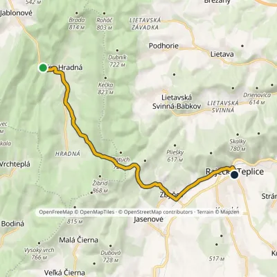 ModerateOne-dayMarkedSúľov, parking Rajecké Teplice, Hotel FatraElevation profile369–642 m12.2 kmascent 345 m≈ 3.5 h walking
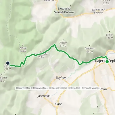 EasyOne-dayMarkedEducational Trail Stratený BudzogáňElevation profile414–868 m7.3 kmascent 477 m≈ 3 h walking
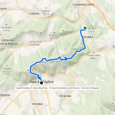 EasyOne-dayMarkedLietavská Lúčka Rajecké Teplicevia Skalky, springElevation profile375–776 m8.9 kmascent 436 m≈ 3 h walking
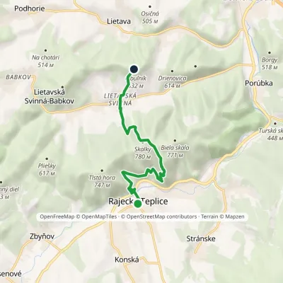 EasyOne-dayMarkedRajecké Teplice, Hotel Fatra Lietava Castlevia Lietavská SvinnáElevation profile414–757 m7.3 kmascent 561 m≈ 3 h walking
Report the condition
Been here recently? Tell us what you saw and add photos — your report appears on the page right away with today’s date.
No photos yet — send yours together with a condition report.
