Weather shelter
Weather shelter below Wierch Wyżniański
Poland · Bieszczady range · 856 m
Condition
Not verifiedNo recent reports. Bring a tent and, if you pass by, tell us what you saw.
Last edited on the OSM map 04.09.2023
- 856 m
About
Bieszczady range, about 860 m above sea level. Mount Kruhly Wierch (1 297 m) is about 1.8 km away. 3 of the site’s trails pass nearby, including “Wielka Rawka Tourist Trail”.
On the map
Coordinates: 49.12428, 22.59134
How to get there
Trails nearby
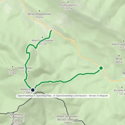 ModerateOne-dayMarkedWielka Rawka Tourist TrailElevation profile685–1 303 m8.8 kmascent 1 136 m≈ 4.5 h walking
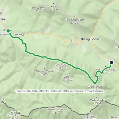 ModerateOne-dayMarkedWetlina Wyżniańska PassElevation profile651–1 272 m12.3 kmascent 682 m≈ 4.5 h walking
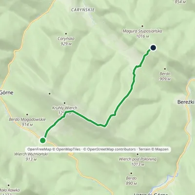 EasyOne-dayMarkedWyżniańska Pass Magura StuposiańskaElevation profile777–1 240 m7.1 kmascent 594 m≈ 3 h walking
Report the condition
Been here recently? Tell us what you saw and add photos — your report appears on the page right away with today’s date.
No photos yet — send yours together with a condition report.
