Weather shelter
Weather shelter below Lubań
Poland · Gorce range · 1 188 m
Condition
Not verifiedNo recent reports. Bring a tent and, if you pass by, tell us what you saw.
Last edited on the OSM map 14.07.2026
- 1 188 m
About
Gorce range, about 1 190 m above sea level. 4 of the site’s trails pass nearby, including “Tarnów – Wielki Rogacz”.
The nearest known spring is 160 m away.
On the map
Coordinates: 49.48825, 20.34073
How to get there
Trails nearby
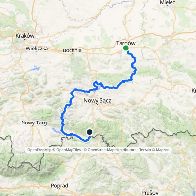 HardMulti-dayMarkedTarnów Wielki RogaczElevation profile206–1 211 m191.5 kmascent 6 941 m
 HardMulti-dayMarkedMain Trail of BeskidyElevation profile309–1 723 m499.9 kmascent 19 519 m
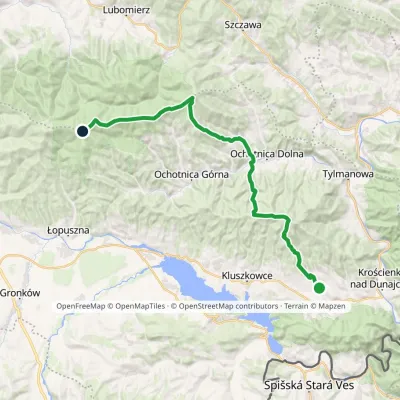 HardMulti-dayMarkedGrywałd Polana GabrowskaElevation profile506–1 288 m29.5 kmascent 1 624 m≈ 10.5 h walking
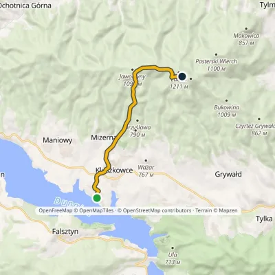 ModerateOne-dayMarkedOsada turystyczna Czorsztyn LubańElevation profile546–1 193 m8.7 kmascent 667 m≈ 3.5 h walking
Report the condition
Been here recently? Tell us what you saw and add photos — your report appears on the page right away with today’s date.
No photos yet — send yours together with a condition report.
