Picnic shelter
Picnic shelter below Homôľka
Slovakia · Strážov Mountains range · 782 m
Condition
Not verifiedNo recent reports. Bring a tent and, if you pass by, tell us what you saw.
Last edited on the OSM map 04.02.2025
- 782 m
- Open fire inside (smoke hut)
About
Strážov Mountains range, about 780 m above sea level. 4 of the site’s trails pass nearby, including “Prejta – Hut under Ostrý vrch”.
Inside: an open fire. The nearest known spring is 520 m away.
On the map
Coordinates: 48.90713, 18.32789
How to get there
Trails nearby
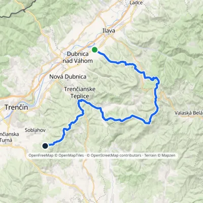 HardMulti-dayMarkedPrejta Hut under Ostrý vrchElevation profile247–955 m47.9 kmascent 2 010 m
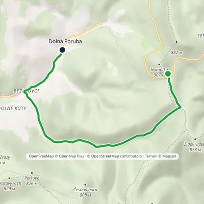 EasyOne-dayMarkedDolná Poruba Homôlka HutElevation profile393–813 m6.4 kmascent 62 m≈ 1.5 h walking
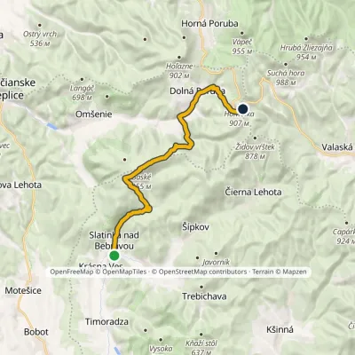 ModerateTwo-dayMarkedSlatinka nad Bebravou Homôlkavia BaskeElevation profile272–955 m16.1 kmascent 1 058 m≈ 6 h walking
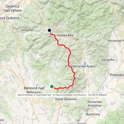 HardMulti-dayMarkedAlexander Dubček TrailElevation profile243–1 029 m33.8 kmascent 1 956 m≈ 12.5 h walking
Report the condition
Been here recently? Tell us what you saw and add photos — your report appears on the page right away with today’s date.
No photos yet — send yours together with a condition report.
