Bila Tserkva
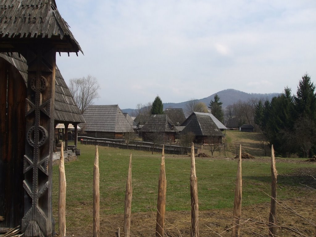
Bila Tserkva is a settlement in the Carpathian region of Ukraine. Location: Rakhiv district, Transcarpathian region. Worth seeing nearby: Church of St. Nicholas the Wonderworker (top), Serednye Vodyane — 4 km; Geographical centre of Europe, Dilove — 19 km; Church of St. John Nepomuk, Rakhiv — 24 km. The nearest peaks: Mount Kobyla — 1 177 m; Mount Apetska — 1 512 m; Mount Terentyn — 1 388 m. Hiking trails close by: To Sokolyne Berdo; Dilove village, via Mount Pip Ivan Marmaroskyi, Mount Chyvchyn, Shybene village, Mount Pip Ivan Chornohirskyi and Mount Hoverla to Hoverla village. There are places to stay here and nearby, from guest houses to hotels.
Below: places to stay, sights, trails and peaks nearby, the weather and answers to frequent questions.
What to visit
Landmarks, museums and places of interest near Bila Tserkva.
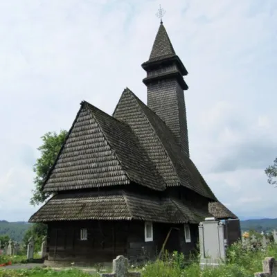 ChurchChurch of St. Nicholas the Wonderworker (top), Serednye VodyaneSerednie Vodiane4 km from the centreNicholas ("upper" or "upper") is a wooden church, a monument of folk architecture and monumental painting of the 15-18th centuries in the village of Serednie Vodyane,...
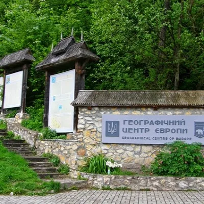 SightGeographical centre of Europe, DiloveDilove19 km from the centreIt is one of the main attractions of Transcarpathia, as the sign of the geographical center of Europe is installed in this place.
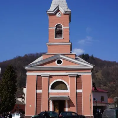 ArchitectureChurch of St. John Nepomuk, RakhivRakhiv24 km from the centreJohn Nepomuky is one of the main architectural monuments of the small town of Rakhiv, Transcarpathian region.
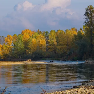 RiverTysa River (Tisza)Rakhiv25 km from the centreThe Tysa (Tisza) is the main river of Zakarpattia. It begins on the north-eastern edge of Rakhiv, where the Chorna Tysa and the Bila Tysa meet, and flows past Dilove,...
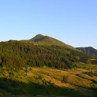 Mountain meadowPolonyna LysychaDilovealtitude 1 477 m29 km from the centreThe Lysycha valley is located on the Marmoroska ridge of the Carpathians. It is located in Rakhiv district of Zakarpattia region near the Ukrainian-Romanian border.
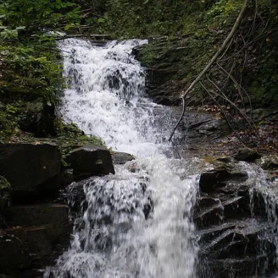 WaterfallNyzhnyi Huk waterfallRoztoky31 km from the centreNyzhnyi Huk waterfall is located in the Vyzhnytsia district of Chernivtsi region in western Ukraine. It is located in a picturesque Carpathian landscape and is part of...
Where to stay
Hotels, guesthouses and cottages in and around Bila Tserkva.
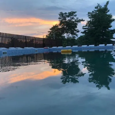 HotelRecreation Base "FIESTA" SolotvynoSolotvyno3.5 km from the centrePoolBBQKitchen
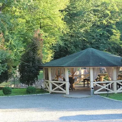 HotelSanatorium-Hotel Complex "Solotvyno"Solotvyno3.5 km from the centrePoolSaunaKitchen
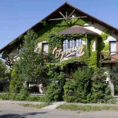 HotelHotel "Grand"Velykyi Bychkiv5.7 km from the centrePoolSaunaBBQ
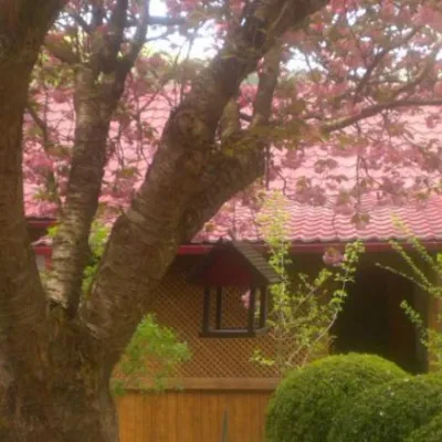 HotelComplex "Kvasny"Kobyletska Poliana14 km from the centreSauna
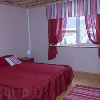 HotelComplex "Sadiba Lazok"Kobyletska Poliana16 km from the centreSaunaKitchenKids
 HotelHotel Complex "Velykyi" KalynyKalyny19 km from the centrePoolSaunaBBQ
Trails nearby
All trails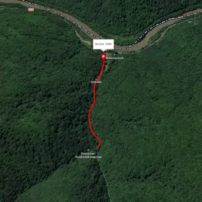 EasyOne-dayMarkedTo Sokolyne BerdoElevation profile357–436 m2.3 kmascent 21 m≈ 30 min walking13 km from the centre
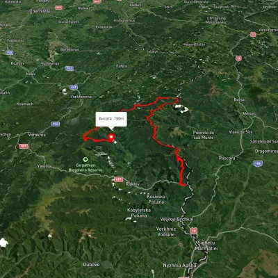 HardMulti-dayUnmarkedDilove village to Hoverla villagevia Mount Pip Ivan Marmaroskyi, Mount Chyvchyn +3Elevation profile317–2 020 m162.3 kmascent 5 379 m18 km from the centre
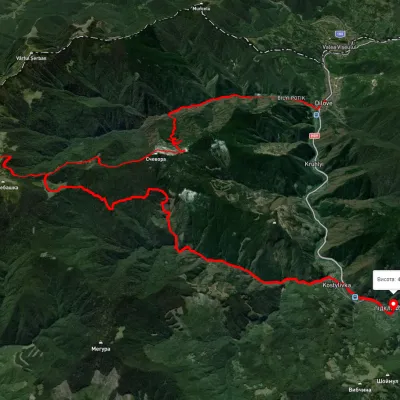 HardMulti-dayUnmarkedDilove village to Kostylivka villagevia Mount Pip Ivan MarmaroskyiElevation profile343–1 532 m37.9 kmascent 2 750 m19 km from the centre
Peaks nearby
All peaks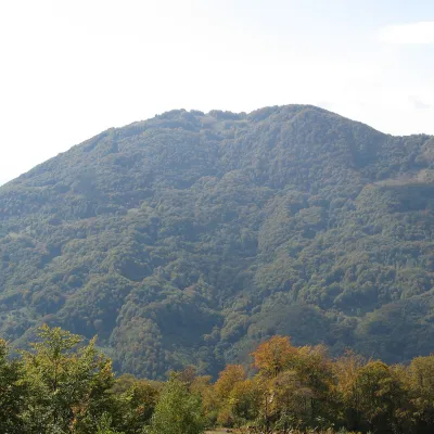 PeakMount KobylaKobyletska Polianaaltitude 1 177 m · Svydovets range16 km from the centreKobyla is a 1,177 m mountain in the Rakhiv district of Zakarpattia Oblast. At its foot lie the settlement of Kobyletska Poliana (to the north-west) and the village of...
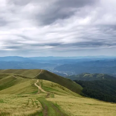 PeakMount ApetskaDubovealtitude 1 512 m27 km from the centre2 trails to the topApetska is a peak in the Ukrainian Carpathians, on the border of the Tyachiv and Rakhiv districts of Zakarpattia region.
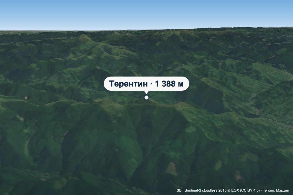 PeakMount TerentynBilynaltitude 1 388 m · Svydovets range28 km from the centreTerentyn is a 1,388 m summit in the south-western part of the Svydovets range, in the Rakhiv district of Zakarpattia Oblast.