Ružín – Sivec
Trail map
Route, springs and shelters: © OpenStreetMap contributors (ODbL) · elevation: Copernicus DEM © DLR e.V., © Airbus DS · Data & licences
About the trail
Route Ružín – Sivec. Has yellow marking (regional route №8778, KST). Waymarking data: OpenStreetMap (© OpenStreetMap contributors, ODbL).
Officially marked regional tourist route No. 8778. The marking is yellow, the sign is a horizontal stripe on a white background. Marked and maintained by: KST. Length of the route — 6.5 km. Location: mountain range — Slovak Rudohorie, Slovakia.
At a glance
A short route of 6.5 km with 543 m of ascent from Ružín to Sivec. Estimated walking time: about 2.5 h, not counting stops. Difficulty: easy. Waymarking: yellow.
Route stages
- 0–1 kmGentle ups and downs at 280–300 m
- 1–2 kmClimb of 110 m (up to 411 m)
- 2–4 kmGentle ups and downs at 350–420 m
- 4–6.5 kmClimb of 370 m (up to 769 m)
Steepest kilometre: km 5–6, a climb of 210 m (≈21%).
Water and overnight stays
A spring near the trail: at km 5.
When to go
The route can be walked most of the year; it is most comfortable from April to October.
Getting there
Start: Ružín. This is a one-way route: the finish is 3 km from the start in a straight line, so plan your way back in advance.
FAQ
- How long does the route take?
- Estimated walking time: about 2.5 h, not counting stops.
- Is there water on the route?
- A spring near the trail: at km 5.
Water and shelter on the route
- Spring below Sivec (west slope)km 4.8 from the start · Not verified · 468 m
Comments
Trails nearby
All trails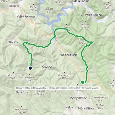 HardMulti-dayMarkedSaddle under Suchý vrch Hut on JahodnáElevation profile325–898 m28.8 kmascent 1 176 m≈ 9.5 h walking
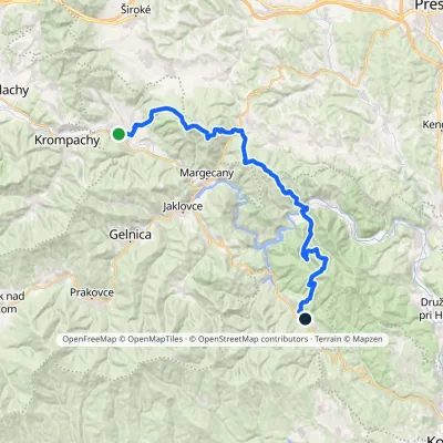 HardMulti-dayMarkedRichnava, stop Košická BeláElevation profile277–1 028 m35.9 kmascent 1 446 m≈ 12 h walking
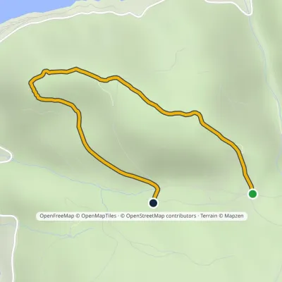 EasyOne-dayMarkedZa BradlomElevation profile495–637 m2.5 kmascent 61 m≈ 45 min walking
Craft nearby
All craft places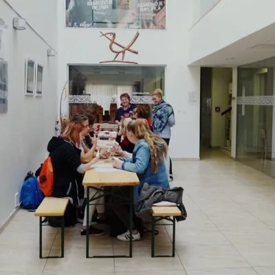 Crafts & workshopsÚĽUV Craft Centre Košice: craft workshops and folk-art shop20 km from the trailÚĽUV (Ústredie ľudovej umeleckej výroby, the Centre for Folk Art Production) is a state institution that has looked after Slovak folk crafts since 1945: it keeps a...
 Crafts & workshopsMacák Pottery on Košice’s Craft Lane: ceramics and courses20 km from the trailHrnčiarska Street in Košice old town is known as the "Craft Lane" (Ulička remesiel): craftspeople work in small houses below the walls of the former town fortifications.
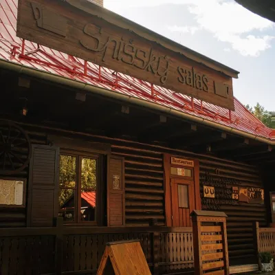 Koliby & Hutsul cuisineSpišský salaš below Spiš Castle: Spiš cooking since 196431 km from the trailBetween Spiš Castle and Spišská Kapitula, at the edge of the plain below the travertine mound of Sivá brada, stands the wooden Spišský salaš.
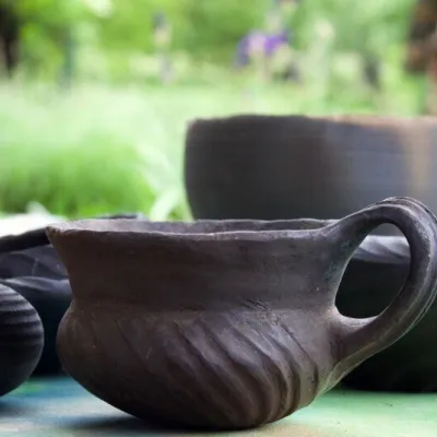 Crafts & workshopsHáj Pottery: wheel-thrown ceramics and wood-fired kilns in Háj33 km from the trailAt the back of an old farmhouse here is Háj Pottery (Hájske hrnčiarstvo), run by Amália Holíková. She throws utility ware on the wheel and models it by hand, but her...
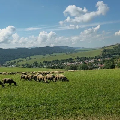 Cheese dairies & pasturesFarma Kamenica — Family Sheep Farm and Cheese Dairy in Šariš38 km from the trailKamenica is a village in northern Šariš, in the valley of the Kameničanka stream, at about 483 m above sea level.
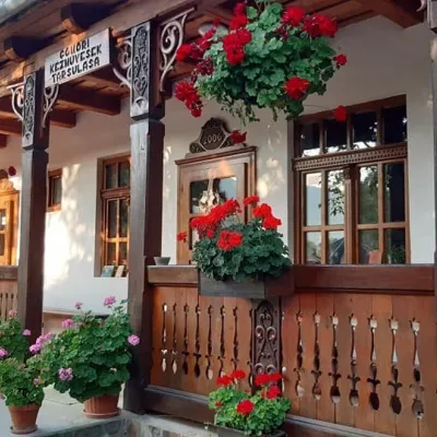 Markets & fairsGemer Craft Fair at Krásnohorská Dlhá Lúka below Krásna Hôrka48 km from the trailKrásnohorská Dlhá Lúka is a village below Krásna Hôrka castle, a few kilometres from Rožňava. In 2002 the Association of Gemer Craftsmen (Združenie gemerských...
