Bystrytsia Nadvirnianska River
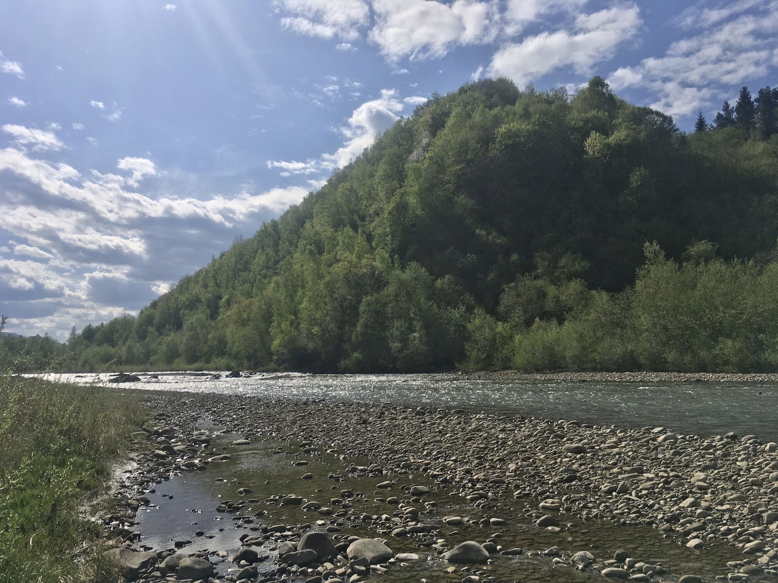
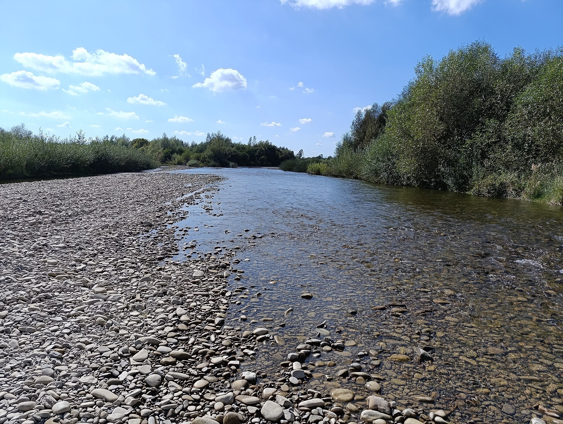
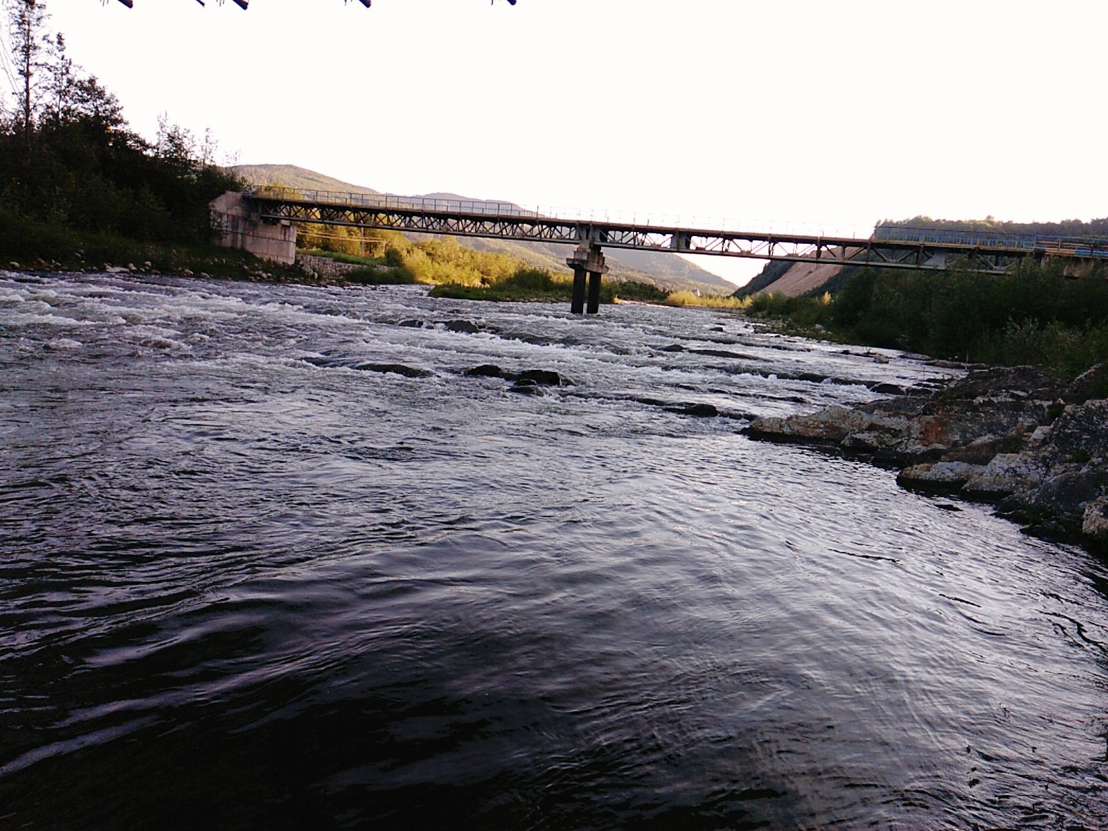
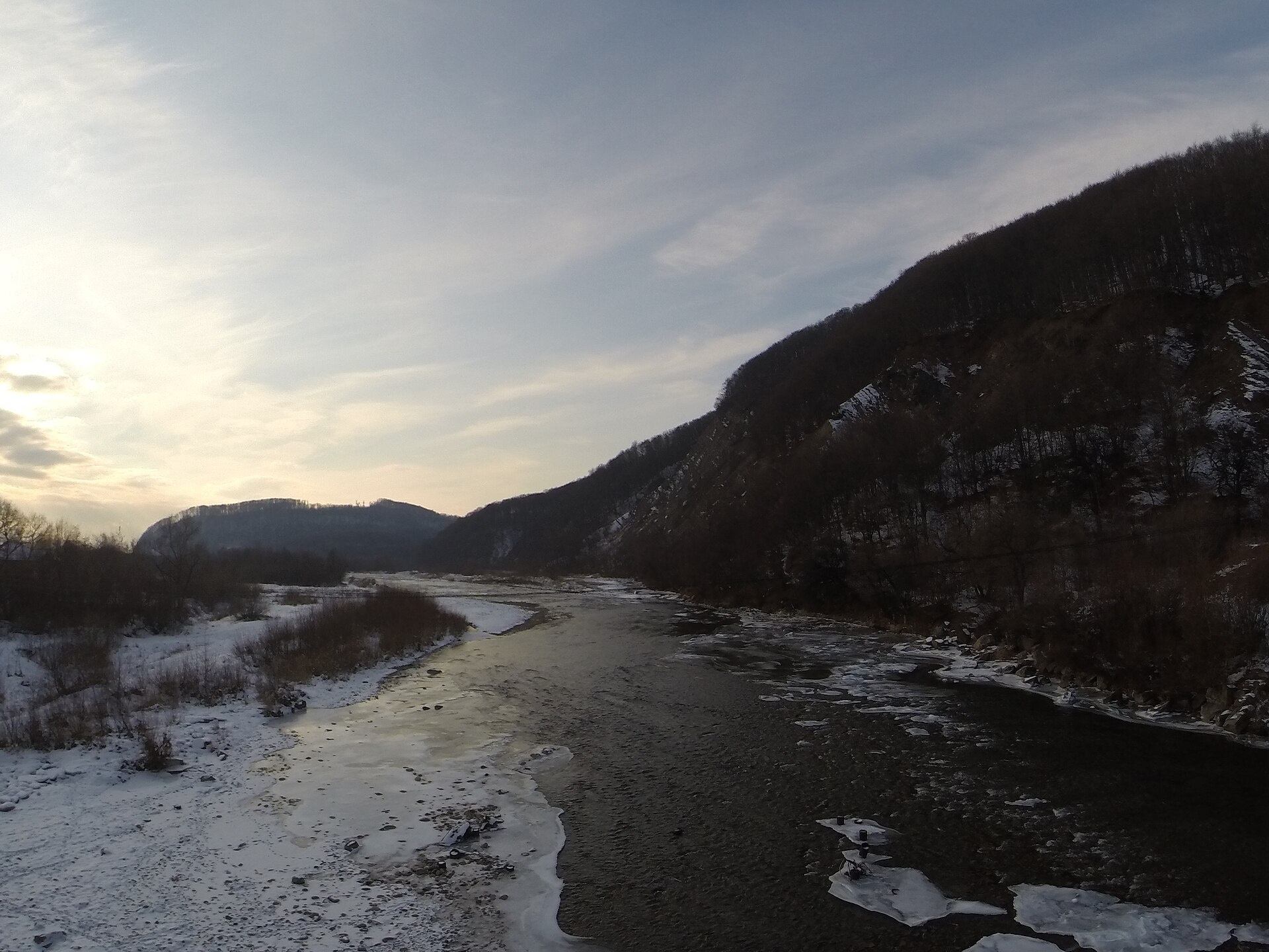
The Bystrytsia Nadvirnianska rises on the northern slope of Mount Chorna Kleva in the Gorgany, at about 1,280 m. Over 94 km it passes Bystrytsia, Pasichna, Nadvirna and Cherniiv, and near Vovchynets on the edge of Ivano-Frankivsk it meets the Bystrytsia Solotvynska. The combined Bystrytsia flows into the Dniester 17 km later.
The upper river is a typical Gorgany stream with rocky riffles. On it and its tributaries are the Kudrynets, Chernyk, Bukhtivets, Bytkivchyk and Dzvinka waterfalls. Its right-bank tributaries start in the Gorgany Nature Reserve, known for its relict Swiss stone pine; part of its forests is a UNESCO World Heritage site. In Ivano-Frankivsk there is a city beach on the Bystrytsia.
It is one of the most heavily stocked trout rivers in the Carpathian foothills: in 2025 over 45,000 brown trout fry were released here. Surveys have also found the Red Book grayling and barbel. The river belongs to the Dniester basin, so the spawning closure runs from 1 April to 10 June, and trout are protected from 10 October to 1 March. Fishing is banned inside the reserve itself. Details are in the fishing section; all waters are on Fishing in the Carpathians.
- Length: 94 km
- Catchment: 1,580 km²
- Source: Mount Chorna Kleva, Gorgany (≈1,280 m)
- Mouth: confluence with the Bystrytsia Solotvynska near Vovchynets
- Oblast: Ivano-Frankivsk
Photos: S. Mochar, CC BY 4.0; S. Mochar, CC BY-SA 4.0; S. Mochar, CC BY 4.0; Gretarsson, CC BY-SA 4.0 — Wikimedia Commons.
Location on the map
Fishing on the Bystrytsia Nadvirnianska
The Bystrytsia Nadvirnianska is a Gorgany trout river flowing through Pasichna and Nadvirna to Ivano-Frankivsk. Tens of thousands of brown trout fry are released here every year — over 45,000 in 2025.
Can I fish now?
- Brown trout — closed until 1 MarchTrout spawning: closed from 10 October to 1 March in the Zakarpattia, Ivano-Frankivsk, Lviv and Chernivtsi regions.Each illegally caught fish costs UAH 7,225 in damages on top of the fine.
- Other species — allowed within the daily limitKeep to the minimum sizes and the daily limit; release protected species.
Limits and rules
During the spawning closure the patrol (2018 list) allowed fishing on both Bystrytsias only within Ivano-Frankivsk, and the Dniester within 500 m of the Bystrytsia mouth was closed. The list is updated every year — check with the Ivano-Frankivsk fisheries patrol.
Gorgany Nature Reserve
The right-bank tributaries of the Bystrytsia — the Chernyk, Sitnyi, Dzhurdzhynets, Zubrivka and Pikun — rise inside the Gorgany Nature Reserve (5,344 ha, since 1996). Any fishing in the reserve is banned by law, and only scientific fishing is allowed in its buffer zone. Fish further downstream, outside the reserve.
What to catch
 Brown troutthe mountain course and its Gorgany tributaries · closed from 10 October to 1 Marchclosed until 1 March
Besides grayling and barbel, surveys have found the Red Book Russian spirlin here, and the European bullhead near Cherniiv. The Carpathian lamprey, also a Red Book species, occasionally occurs in the river and its tributaries near the reserve. There is no complete scientific fish list for this river.
 Grayling
 Barbel
Red Book of Ukraine species: if one bites, unhook it carefully and release it. Taking one means a fine and compensation for damages.
Stocking 2025
45,234 young fish released into the river under the state stocking programme
- Brown trout45,234
Water quality
Monitoring post in Berezivka (Ivano-Frankivsk water intake), last sampled on 25 August 2026.
- Dissolved oxygen9 mg O₂/lnorm at least 4
- Acidity, pH7.66norm 6.5–8.5
- BOD₅ (organic matter)1.2 mg O₂/lnorm up to 3
- Nitrates1.2 mg/lnorm up to 45
- Water temperature15 °C
All indicators are within the norms.
Bite forecast near Nadvirna
- TodayfairHigh pressure, moderate wind1025 hPa · wind up to 18 km/h · 6…9 °C
- TomorrowgoodHigh pressure, light wind1025 hPa · wind up to 15 km/h · 5…8 °C
- Saturday, 17 OctobergoodSteady pressure, light wind1019 hPa · wind up to 13 km/h · 6…8 °C
Brown trout closed. Based on pressure, wind, temperature and cloud — an estimate, not a guarantee.
Fishing spots 92
Places where you can drive up to the water: fish markers on the page map and the list below. Look at the satellite view before you go — the bank may be steep or overgrown.
Closed right now: brown trout — until 1 March.
- Mouth of the Bratkovets tributary, Klympushi (2.0 km)The road comes almost to the water. A bridge is right here. Nearest village: Klympushi, 2.0 km.
- Stream mouth, KlympushiAbout 30 m to the water from a dirt road. Nearest village: Klympushi, 1.3 km.
- By the bridge, PrychilThe road comes almost to the water. Bridge 110 m away. Village: Prychil.
- Access from a village street, PrychilAbout 100 m to the water from the street. Village: Prychil.
- By the bridge, PrychilAbout 40 m to the water from the street. Bridge 100 m away. Nearest village: Prychil, 1.1 km.
- By the bridge, BystrytsiaAbout 80 m to the water from an access road. Bridge 100 m away. Nearest village: Bystrytsia, 1.5 km.
- By the bridge, BystrytsiaThe road comes almost to the water. Bridge 70 m away. Nearest village: Bystrytsia, 800 m.
- Stream mouth, BystrytsiaAbout 30 m to the water from the road. Bridge 110 m away. Village: Bystrytsia.
Show all spots (92)
- By the road, BystrytsiaAbout 40 m to the water from the road. Nearest village: Bystrytsia, 830 m.
- Stream mouth, BystrytsiaAbout 50 m to the water from the road. Nearest village: Bystrytsia, 1.4 km.
- By the road, Bystrytsia (2.2 km)About 40 m to the water from the road. Nearest village: Bystrytsia, 2.2 km.Strict nature reserve — fishing is most likely forbidden, check with the reserve
- Stream mouth, Maksymets (3.0 km)About 50 m to the water from the road. Nearest village: Maksymets, 3.0 km.
- Access road to the water, Maksymets (2.2 km)About 130 m to the water from an access road. Nearest village: Maksymets, 2.2 km.
- By the road, MaksymetsAbout 150 m to the water from the road. Nearest village: Maksymets, 1.2 km.
- Access from a village street, MaksymetsThe road comes almost to the water. Village: Maksymets.
- Stream mouth, MaksymetsAbout 140 m to the water from the street. Nearest village: Maksymets, 910 m.
- By the road, Maksymets (1.8 km)About 140 m to the water from the road. Nearest village: Maksymets, 1.8 km.
- Stream mouth, Zelena (2.5 km)About 50 m to the water from a dirt road. Bridge 50 m away. Nearest village: Zelena, 2.5 km.
- Access from a village street, Zelena (1.6 km)About 150 m to the water from the street. Nearest village: Zelena, 1.6 km.
- Stream mouth, ZelenaAbout 120 m to the water from the road. Village: Zelena.
- Stream mouth, ZelenaAbout 130 m to the water from the road. Village: Zelena.
- Stream mouth, ZelenaAbout 130 m to the water from the street. Nearest village: Zelena, 1.5 km.
- Stream mouth, Zelena (2.5 km)About 130 m to the water from an access road. Nearest village: Zelena, 2.5 km.
- Stream mouth, Zelena (3.5 km)About 40 m to the water from an access road. Nearest village (straight line): Zelena, 3.5 km.
- By the road, Sokolovytsia (3.4 km)About 100 m to the water from the road. Nearest village (straight line): Sokolovytsia, 3.4 km.
- Mouth of the Roztoka tributary, Sokolovytsia (2.5 km)The road comes almost to the water. A bridge is right here. Nearest village: Sokolovytsia, 2.5 km.
- Dirt-road access, Sokolovytsia (1.6 km)About 70 m to the water from a dirt road. Nearest village: Sokolovytsia, 1.6 km.
- Stream mouth, PasichnaThe road comes almost to the water. Nearest village: Pasichna, 1.3 km.
- Local-road access, PasichnaAbout 110 m to the water from a local road. Village: Pasichna.
- By the bridge, PasichnaAbout 50 m to the water from the street. Bridge 50 m away. Nearest village: Pasichna, 830 m.
- By the bridge, PasichnaAbout 100 m to the water from the street. Bridge 100 m away. Nearest village: Pasichna, 900 m.
- Dirt-road access, PasichnaAbout 90 m to the water from a dirt road. Nearest village: Pasichna, 1.5 km.
- Stream mouth, Postoiata (1.9 km)The road comes almost to the water. Nearest village: Postoiata, 1.9 km.
- Dirt-road access, Postoiata (2.4 km)About 40 m to the water from a dirt road. Nearest village: Postoiata, 2.4 km.
- Dirt-road access, Bytkiv (2.1 km)About 40 m to the water from a dirt road. Nearest village: Bytkiv, 2.1 km.
- Dirt-road access, Bytkiv (1.7 km)About 50 m to the water from a dirt road. Nearest village: Bytkiv, 1.7 km.
- Dirt-road access, BytkivAbout 110 m to the water from a dirt road. Nearest village: Bytkiv, 1.2 km.
- Dirt-road access, PnivAbout 90 m to the water from a dirt road. Nearest village: Pniv, 1.4 km.
- Dirt-road access, PnivThe road comes almost to the water. Nearest village: Pniv, 1.4 km.
- Dirt-road access, Pniv (1.7 km)About 60 m to the water from a dirt road. Nearest village: Pniv, 1.7 km.
- By a canal, Nadvirna (2.3 km)About 140 m to the water from a dirt road. Nearest village: Nadvirna, 2.3 km.
- Access road to the water, Nadvirna (1.7 km)About 110 m to the water from an access road. Nearest village: Nadvirna, 1.7 km.
- Dirt-road access, NadvirnaAbout 110 m to the water from a dirt road. Nearest village: Nadvirna, 1.1 km.
- Access road to the water, NadvirnaAbout 140 m to the water from an access road. Nearest village: Nadvirna, 1.2 km.
- Dirt-road access, MyrneAbout 140 m to the water from a dirt road. Nearest village: Myrne, 1.0 km.
- Access from a village street, MyrneAbout 140 m to the water from the street. Nearest village: Myrne, 790 m.
- Access from a village street, MyrneAbout 60 m to the water from the street. Village: Myrne.
- Dirt-road access, NazavyzivAbout 60 m to the water from a dirt road. Nearest village: Nazavyziv, 710 m.
- Stream mouth, MlynyAbout 130 m to the water from a dirt road. Nearest village: Mlyny, 1.0 km.
- Dirt-road access, MlynyAbout 150 m to the water from a dirt road. Nearest village: Mlyny, 1.4 km.
- Mouth of the Malyi Lukavets tributary, FytkivAbout 140 m to the water from a dirt road. Nearest village: Fytkiv, 1.3 km.
- Dirt-road access, FytkivAbout 90 m to the water from a dirt road. Nearest village: Fytkiv, 930 m.
- Dirt-road access, FytkivAbout 100 m to the water from a dirt road. Nearest village: Fytkiv, 990 m.
- Dirt-road access, FytkivAbout 50 m to the water from a dirt road. Nearest village: Fytkiv, 1.4 km.
- Dirt-road access, FytkivAbout 100 m to the water from a dirt road. Nearest village: Fytkiv, 1.4 km.
- Dirt-road access, Kopachivka (1.6 km)About 60 m to the water from a dirt road. Nearest village: Kopachivka, 1.6 km.
- Stream mouth, Hrabovets (2.0 km)About 100 m to the water from a dirt road. Nearest village: Hrabovets, 2.0 km.
- Dirt-road access, HrabovetsAbout 130 m to the water from a dirt road. Nearest village: Hrabovets, 1.2 km.
- By the road, HrabovetsAbout 140 m to the water from the road. Nearest village: Hrabovets, 810 m.
- Access road to the water, HrabovetsAbout 150 m to the water from an access road. Nearest village: Hrabovets, 1.1 km.
- Dirt-road access, Tysmenychany (1.6 km)About 110 m to the water from a dirt road. Nearest village: Tysmenychany, 1.6 km.
- Dirt-road access, Tysmenychany (1.6 km)About 120 m to the water from a dirt road. Nearest village: Tysmenychany, 1.6 km.
- Access from a village street, ZaberezhzhiaAbout 90 m to the water from the street. Nearest village: Zaberezhzhia, 1.0 km.
- Dirt-road access, ZaberezhzhiaAbout 90 m to the water from a dirt road. Nearest village: Zaberezhzhia, 1.4 km.
- Dirt-road access, Zaberezhzhia (2.2 km)About 30 m to the water from a dirt road. Nearest village: Zaberezhzhia, 2.2 km.
- Dirt-road access, Berezivka (1.8 km)About 90 m to the water from a dirt road. Nearest village: Berezivka, 1.8 km.
- Dirt-road access, BerezivkaAbout 130 m to the water from a dirt road. Nearest village: Berezivka, 1.0 km.
- Dirt-road access, BerezivkaAbout 100 m to the water from a dirt road. Nearest village: Berezivka, 790 m.
- Dirt-road access, BerezivkaAbout 40 m to the water from a dirt road. Nearest village: Berezivka, 1.4 km.
- By the bridge, CherniivThe road comes almost to the water. A bridge is right here. Nearest village: Cherniiv, 1.1 km.
- Dirt-road access, CherniivAbout 150 m to the water from a dirt road. Village: Cherniiv.
- Dirt-road access, CherniivAbout 100 m to the water from a dirt road. Nearest village: Cherniiv, 790 m.
- Access from a village street, ChukalivkaAbout 60 m to the water from the street. Nearest village: Chukalivka, 1.0 km.
- Dirt-road access, ChukalivkaAbout 110 m to the water from a dirt road. Nearest village: Chukalivka, 1.1 km.
- Dirt-road access, ChukalivkaAbout 70 m to the water from a dirt road. Nearest village: Chukalivka, 1.1 km.
- Dirt-road access, Chukalivka (1.8 km)About 70 m to the water from a dirt road. Nearest village: Chukalivka, 1.8 km.
- Dirt-road access, KhryplynThe road comes almost to the water. Nearest village: Khryplyn, 1.2 km.
- Dirt-road access, KhryplynAbout 60 m to the water from a dirt road. Nearest village: Khryplyn, 950 m.
- Access from a village street, OpryshivtsiAbout 110 m to the water from the street. Village: Opryshivtsi.
- Access road to the water, Khryplyn (1.5 km)About 110 m to the water from an access road. Nearest village: Khryplyn, 1.5 km.
- Access from a village street, MykytyntsiAbout 50 m to the water from the street. Nearest village: Mykytyntsi, 1.2 km.
- Access road to the water, RinAbout 100 m to the water from an access road. Village: Rin.
- Access road to the water, RinAbout 60 m to the water from an access road. Village: Rin.
- Access from a village street, UhornykyAbout 140 m to the water from the street. Nearest village: Uhornyky, 1.2 km.
- Access from a village street, KaskadAbout 70 m to the water from the street. Nearest village: Kaskad, 760 m.
- Dirt-road access, PidluzhzhiaAbout 50 m to the water from a dirt road. Village: Pidluzhzhia.
- Dirt-road access, PidluzhzhiaAbout 110 m to the water from a dirt road. Nearest village: Pidluzhzhia, 930 m.
- Dirt-road access, VovchynetsAbout 120 m to the water from a dirt road. Nearest village: Vovchynets, 930 m.
- Access road to the water, VovchynetsAbout 140 m to the water from an access road. Village: Vovchynets.
- Dirt-road access, FytkivAbout 120 m to the water from a dirt road. Nearest village: Fytkiv, 1.1 km.
- Access from a village street, Kopachivka (1.5 km)About 140 m to the water from the street. Nearest village: Kopachivka, 1.5 km.
- Dirt-road access, Hrabovets (1.5 km)About 120 m to the water from a dirt road. Nearest village: Hrabovets, 1.5 km.
Spots are marked from open data (roads and ways to the water, OpenStreetMap); if a spot is inconvenient or inaccessible, let us know. © OpenStreetMap, ODbL.
Springs: Recreational Fishing Rules (Order No. 700 of the Ministry of Agrarian Policy); State Fisheries Agency, Ivano-Frankivsk: trout spawning; State Fisheries Agency, Ivano-Frankivsk: spawning ban; Fisheries patrol: places open during the spawning ban; Law on the Nature Reserve Fund of Ukraine, art. 16, 18, 21; Wikipedia (uk): Bystrytsia Nadvirnianska; Wikipedia (uk): Gorgany Nature Reserve; State Fisheries Agency: fish stocking, data.gov.ua (CC BY); Cabinet / Fisheries Agency: 45,200 trout fry into the Bystrytsia Nadvirnianska (2025); Kharchenko V. et al. Records of protected animal species in Ukraine (GBIF, CC BY 4.0); Records of protected animal, plant and fungi species in Ukraine, 2020 (GBIF, CC BY 4.0); Red Book of Ukraine animal list (Ministry of Environment Order No. 29, 2021); State Water Agency: water monitoring (CC BY); Weather forecast: MET Norway (CC BY 4.0). Rules may change — check the current orders of the fisheries patrol.
Comments
Places to stay nearby
All stays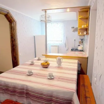 HotelHomestead "U Pani Adelyi" DelyatynDeliatyn11 km from Bystrytsia Nadvirnianska RiverSaunaFireplaceKitchenNearby: Church of St. Francis 1.0 kmWhite Stone Rock 6.2 km
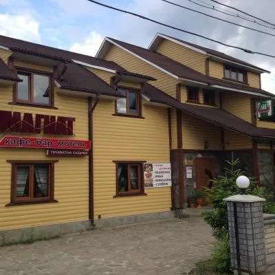 HomesteadHomestead "Mahnat" MykulychynDeliatyn12 km from Bystrytsia Nadvirnianska RiverSaunaBBQKitchenNearby: Church of St. Francis 200 mWhite Stone Rock 5.3 km
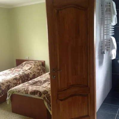 HomesteadGuest House "Vizyt" DelyatynDeliatyn13 km from Bystrytsia Nadvirnianska RiverBBQKitchenParkingNearby: Church of St. Francis 1.1 kmWhite Stone Rock 4.7 km4 trails
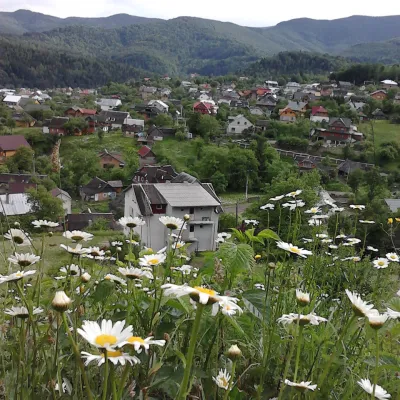 HomesteadHomestead "Hutsulochka"Yaremche16 km from Bystrytsia Nadvirnianska RiverPoolNearby: Peter and Paul Church 100 mWhite Stone Rock 1.9 km15 trails
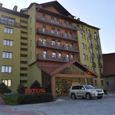 HotelHotel and Recreation Complex "Malivo" DelyatynDeliatyn14 km from Bystrytsia Nadvirnianska RiverHot tubPoolSaunaNearby: Peter and Paul Church 2.3 kmWhite Stone Rock 2.9 km7 trails
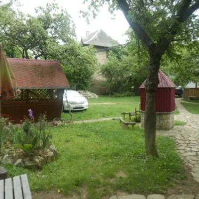 HomesteadHomestead "Darunochok"Yaremche16 km from Bystrytsia Nadvirnianska RiverSaunaBBQKitchenNearby: Peter and Paul Church 400 mWhite Stone Rock 2.2 km14 trails
Trails nearby
All trails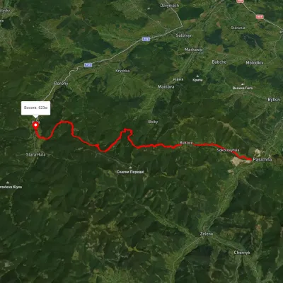 HardMulti-dayMarkedHuta village Pasichna villageElevation profile524–1 217 m26.4 kmascent 2 293 m≈ 11 h walking12 km from Bystrytsia Nadvirnianska River
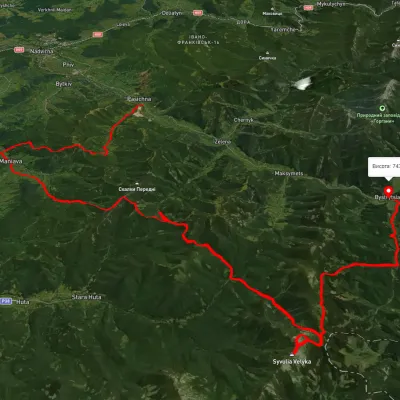 HardMulti-dayUnmarkedPasichna village to Bystrytsia villagevia Maniava village, Maniava Waterfall +1Elevation profile497–1 835 m69.7 kmascent 3 340 m12 km from Bystrytsia Nadvirnianska River
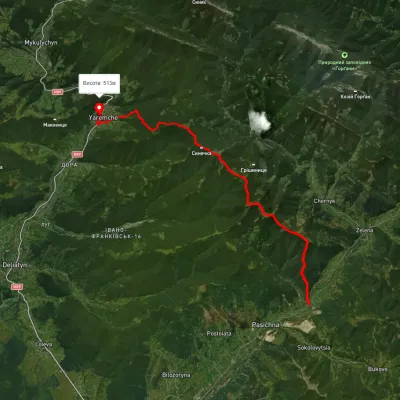 HardMulti-dayUnmarkedPasichna village to Yaremchevia Mount SyniachkaElevation profile514–1 404 m26.7 kmascent 1 206 m≈ 9 h walking14 km from Bystrytsia Nadvirnianska River
Nearby attractions
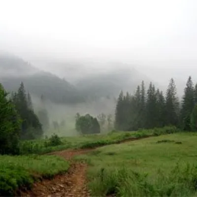 NatureNature Reserve "Horgany", NadvirnaNadvirnaunder 1 km from Bystrytsia Nadvirnianska River"HORGANY" – a nature reserve located in the Nadvirna district of Ivano-Frankivsk region. In administrative and economic terms, the territory of the reserve is divided...
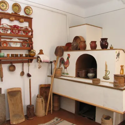 MuseumMuseum of the history of Nadvirna districtNadvirna1.5 km from Bystrytsia Nadvirnianska RiverThe Nadvirna History Museum was established by the Memorial Historical and Educational Society in 1995 to recreate the historical truth about the heroic struggle of...
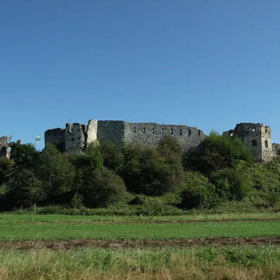 CastlePniv CastlePniv1.6 km from Bystrytsia Nadvirnianska RiverPniv Castle is one of the unique historical monuments of Ukraine. Throughout its history, it has played an important role in the events that took place in the lands of...