Eco-trail around Yayko Perehinske
11.3 kmLength
1 781 mAscent
2 235 mDescent
1 412 mMax. altitude
852 mMin. altitude
Trail map
Where to stay nearby
Near the finish · Osmoloda
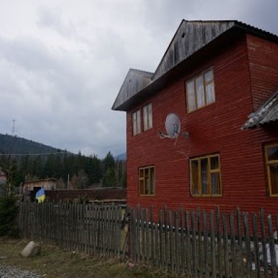
Homestead
Homestead "Arnika" Osmoloda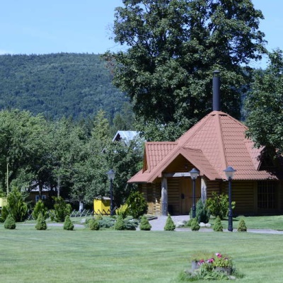
Homestead
Complex "Hants" Osmoloda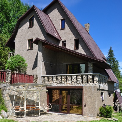
Homestead
Михайлова садиба 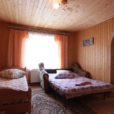
Homestead
"U Davidka i Matviika"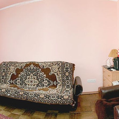
Homestead
Homestead "Faini Karpaty" Osmoloda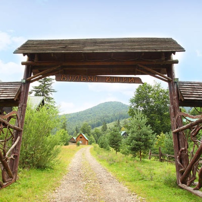
Weather and adviceLoading the forecast…
About the trail
Route Eco-trail around Yayko Perehinske. Has green marking (local routes). Along the route you will see: Yaykivsky Botanical Reserve.
At a glance
A one-day route of 11.3 km with 1,781 m of ascent. Estimated walking time: about 6 h, not counting stops. Difficulty: moderate. Waymarking: green.
Route stages
- 0–1 kmGentle ups and downs at 1,260–1,320 m
- 1–3 kmClimb of 120 m to Mount Yayko-Pereginske (1,595 m)
- 3–9 kmGentle ups and downs at 1,170–1,390 m
- 9–11 kmDescent of 420 m (down to 861 m)
Steepest kilometre: km 9–10, a descent of 270 m (≈27%).
Water and overnight stays
A spring near the trail: at km 2. There are no springs between km 2 and 11 — carry at least 2.5 l of water.
Huts and shelters near the trail: Hut at the Yaikivskyi botanical reserve (km 2).
When to go
Best time: May to October. In winter deep snow is possible, so experience and winter gear are needed.
Getting there
FAQ
- How long does the route take?
- Estimated walking time: about 6 h, not counting stops.
- Is there water on the route?
- A spring near the trail: at km 2. There are no springs between km 2 and 11 — carry at least 2.5 l of water.
- Where can I stay overnight?
- Huts and shelters near the trail: Hut at the Yaikivskyi botanical reserve (km 2).
Water and shelter on the route
- Drinking water below Mount Yaiko-Perehinskekm 2.2 from the start · 90 m off the path · Not verified · 1 345 m
- Hut at the Yaikivskyi botanical reservekm 2.2 from the start · Not verified · 1 354 m
Comments
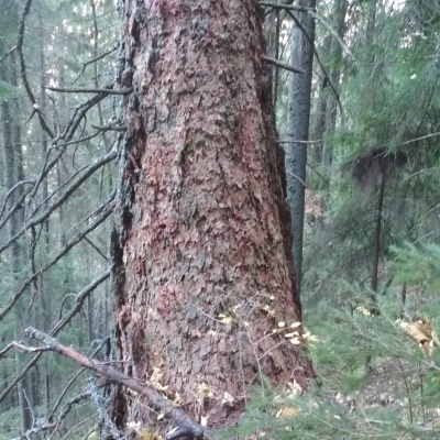
What to see on the trail
Trails nearby
All trails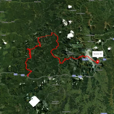 HardMulti-dayUnmarkedMyslivka village to Mizhhiriavia Mount Moloda, Mount Popadia +3Elevation profile444–1 717 m117 kmascent 6 438 m
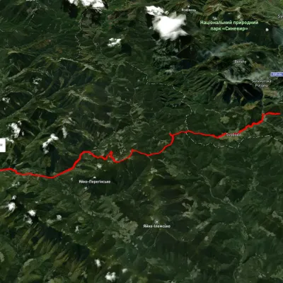 HardMulti-dayUnmarkedLake Synevyr to Osmoloda villagevia Svoboda village, Hycha polonyna +1Elevation profile722–1 712 m32.9 kmascent 1 198 m≈ 10.5 h walking
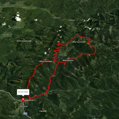 HardMulti-dayUnmarkedMyslivka village loopvia the Arshytsia ridge, Mount Moloda +1Elevation profile645–1 716 m68.8 kmascent 2 965 m