Bohdan village – Rohnieska polonyna
About the route:
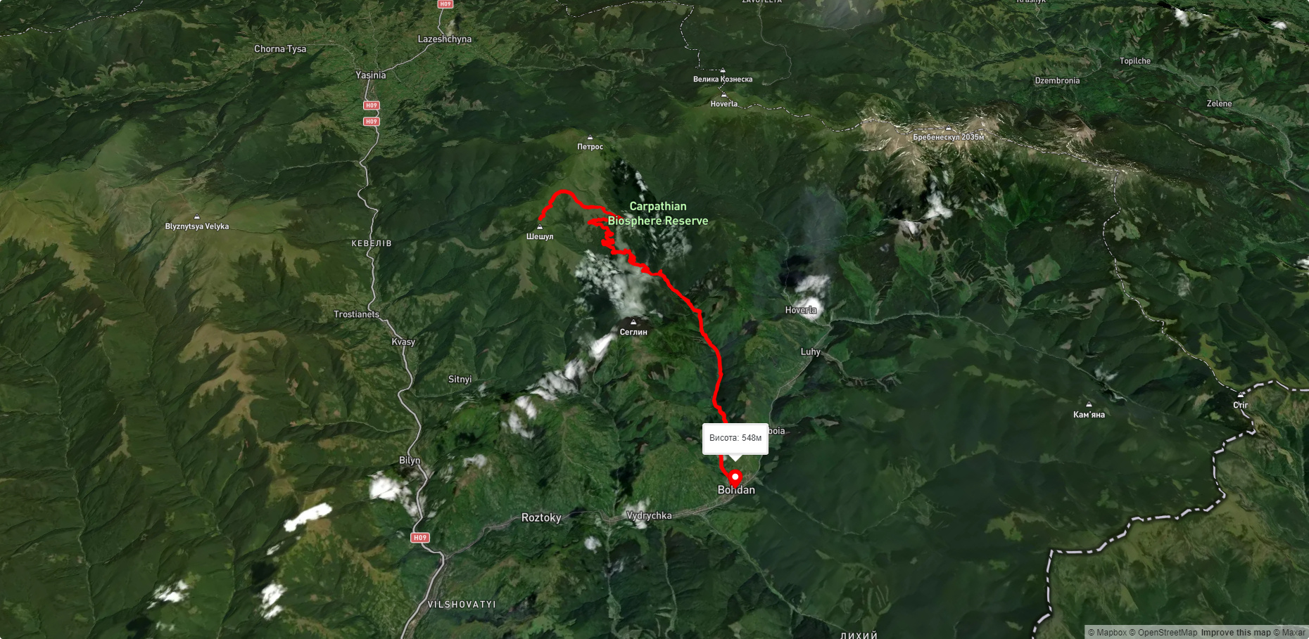
Route Bohdan village – Rohnieska polonyna. Has yellow marking. Trail length 23423m. Lowest point - 548m., highest point - 1658m. Total elevation gain 1318m. Along the route you will see: Mount Sheshul, Polonyna Rognieska.
🎮 3D hike
Walk this route in 3D
Real terrain, satellite map, Carpathian forests
Play →
To add a comment you can: login or register.
What to see along the route:
48.159984720735366,24.37655120364991 | Altitude: 1726м
Mount Sheshul
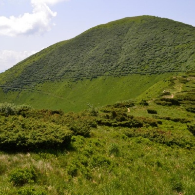 Sheshul is a 1,726-meter peak of the Ukrainian Carpathians, which is located in the western part of the Chornohora mountain range within the Carpathian Biosphere Reserve. The mountain is located on the territory of Rakhiv district of Zakarpattia region, in the northeast direction from the city of Rakhiv.
... More...
Sheshul is a 1,726-meter peak of the Ukrainian Carpathians, which is located in the western part of the Chornohora mountain range within the Carpathian Biosphere Reserve. The mountain is located on the territory of Rakhiv district of Zakarpattia region, in the northeast direction from the city of Rakhiv.
... More...
48.15218938508758,24.40490323478393 | Altitude: 1429м
Polonyna Rognieska
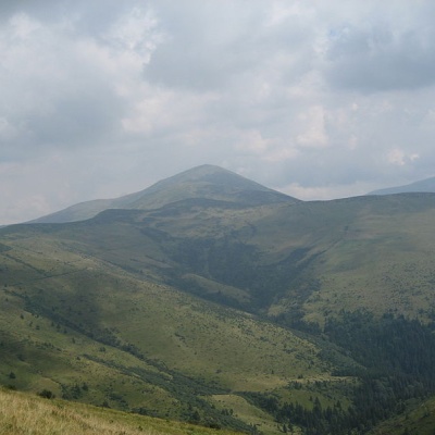 Rognieska is a meadow on the Chornohora mountain range (Ukrainian Carpathians), in the Rakhiv district of Zakarpattia region. It is located on the southwestern spurs of Mount Petros, within the Chornohora Protected Area (part of the Carpathian Biosphere Reserve).
... More...
Rognieska is a meadow on the Chornohora mountain range (Ukrainian Carpathians), in the Rakhiv district of Zakarpattia region. It is located on the southwestern spurs of Mount Petros, within the Chornohora Protected Area (part of the Carpathian Biosphere Reserve).
... More...


