Bypass Trail
2.5 kmLength
265 mAscent
207 mDescent
771 mMax. altitude
657 mMin. altitude
Trail map
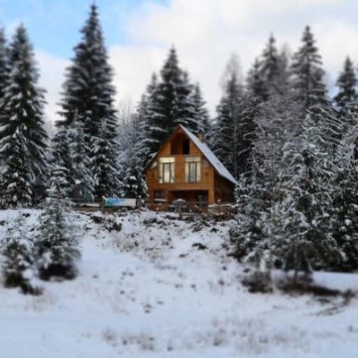
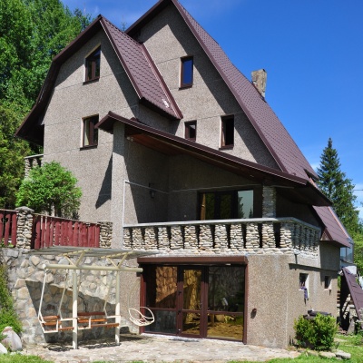
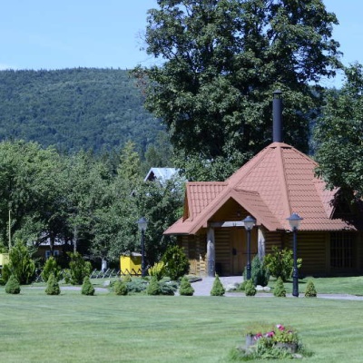
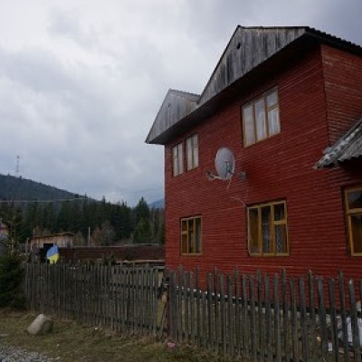
Where to stay nearby
Near the start · Osmoloda
Weather and adviceLoading the forecast…
About the trail
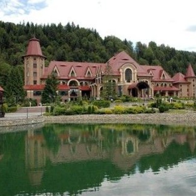
Route Bypass Trail. Has blue marking (most notable or interesting routes). Along the route you will see: Residence Synihora, Guta.
At a glance
A short route of 2.5 km with 265 m of ascent. Estimated walking time: about 1 h, not counting stops. Difficulty: easy. Waymarking: blue.
Water and overnight stays
Our map shows no springs near the trail — bring your own water (at least 1 l).
Places to stay near the start: Osmoloda.
When to go
The route can be walked most of the year; it is most comfortable from April to October.
Getting there
Most places to stay near the start are in Osmoloda. This is a one-way route: the finish is 2 km from the start in a straight line, so plan your way back in advance.
FAQ
- How long does the route take?
- Estimated walking time: about 1 h, not counting stops.
- Is there water on the route?
- Our map shows no springs near the trail — bring your own water (at least 1 l).
- Where can I stay overnight?
- Places to stay near the start: Osmoloda.
Comments
What to see on the trail
Trails nearby
All trails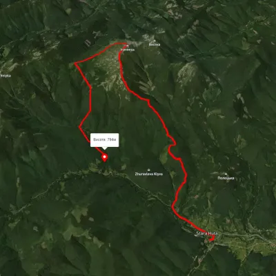 HardTwo-dayUnmarkedStara Huta village loopvia Mount Ihrovets, Borevka PassElevation profile698–1 841 m20.4 kmascent 1 494 m≈ 8 h walking
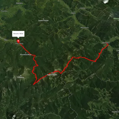 HardMulti-dayUnmarkedBystrytsia village to Stara Huta villagevia Mount Syvulia, Mount Lopushna +1Elevation profile655–1 825 m43.8 kmascent 1 353 m≈ 13.5 h walking
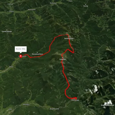 HardMulti-dayUnmarkedOsmoloda to Stara Huta villagevia Mount Vysoka, Mount Ihrovets +1Elevation profile651–1 797 m33.4 kmascent 2 125 m≈ 12.5 h walking