Mount Shurin
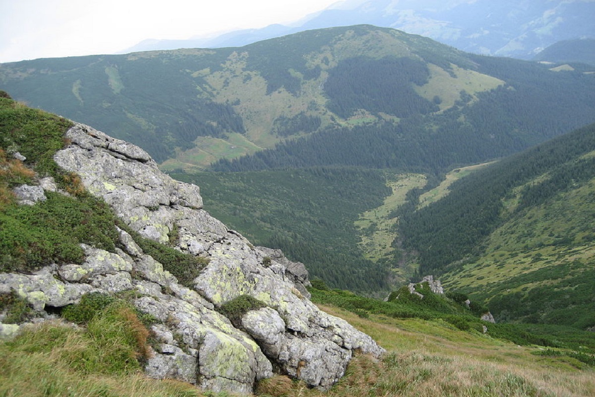
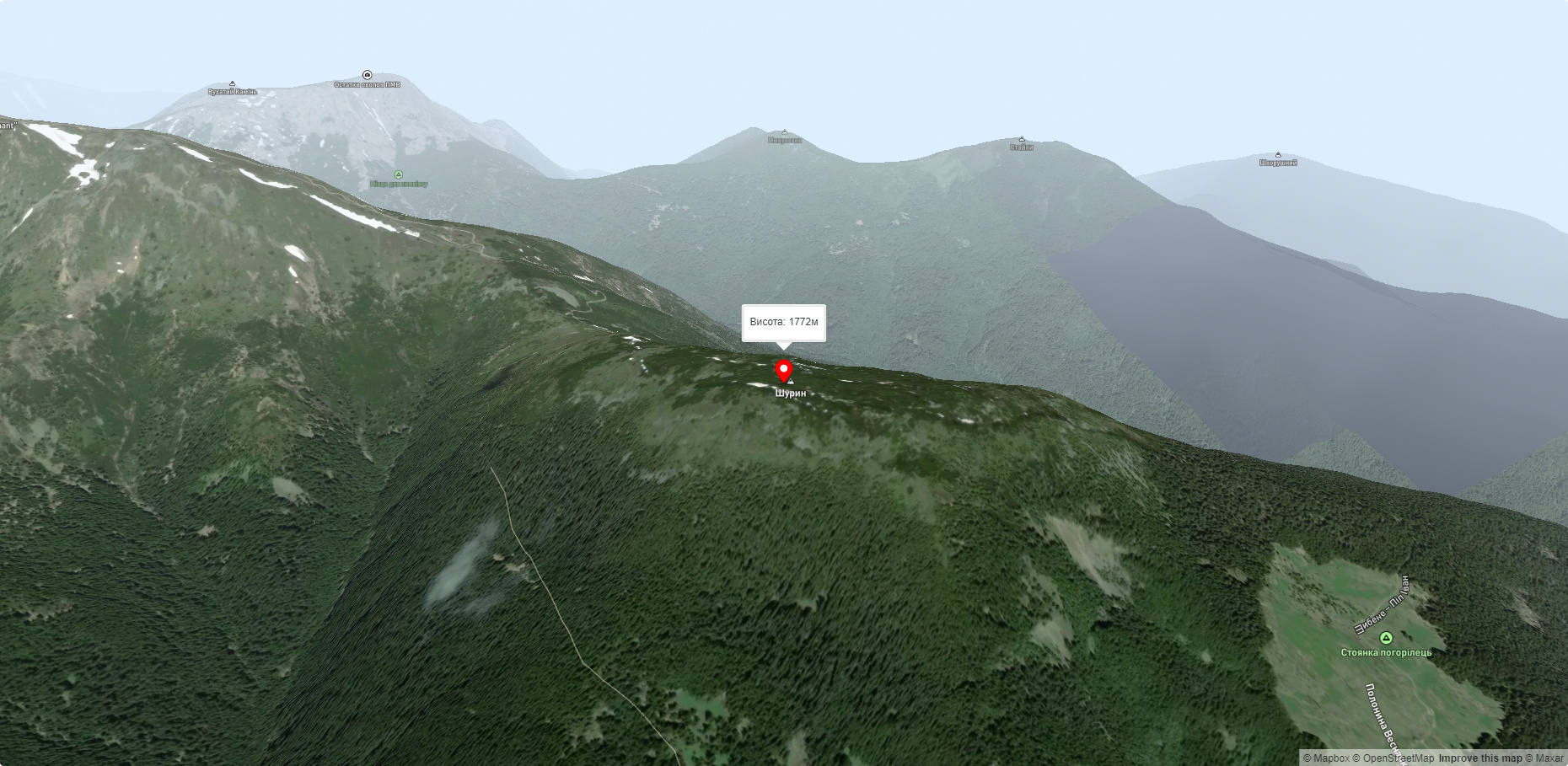
Mount Shuryn, with a height of 1772 meters, is a peak of the Ukrainian Carpathians located in the southeastern part of the Chornohora mountain range. It is located in the Carpathian National Nature Park in Ivano-Frankivsk region.
In the western, southern and eastern directions, the slopes of Mount Shuryn are very steep and difficult to access, while the southern slope is gentle and connects to Pop Ivan Chornohirsky (2022 m), located southeast of the summit.
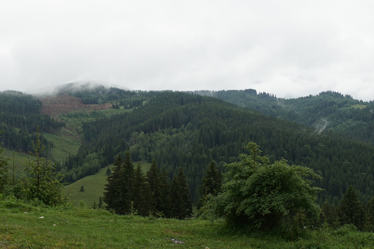
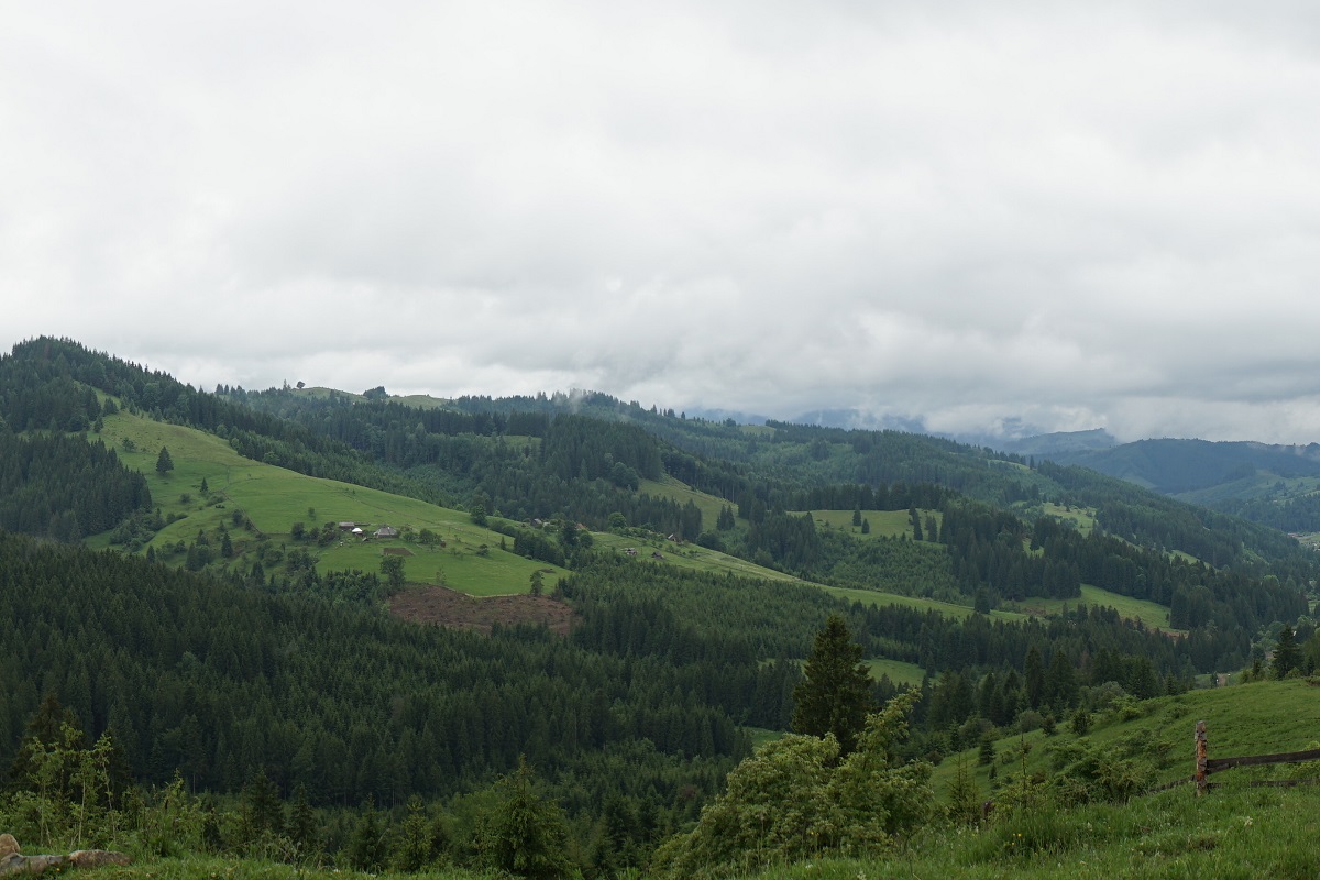
Up to an altitude of 1300-1400 m, the mountain is covered with coniferous forests, above this mark - with sparse forests and meadows covered with alpine and subalpine vegetation.
On the northeastern side of Shuryn, there is the alpine Lake Maricheika (altitude - 1514 m), which is the second largest lake in the Montenegrin range after Lake Brebeneskul.
The nearest settlement is the village of Yavirnyk in Verkhovyna district of Ivano-Frankivsk region.
Accommodation around Mount Shurin:


Nearby hiking trails near Mount Shurin:
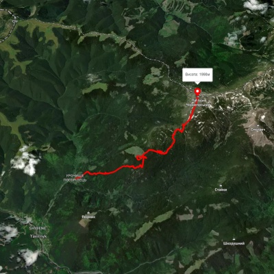
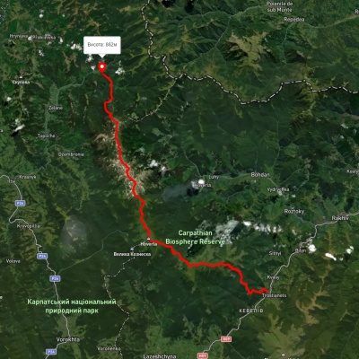
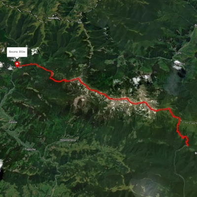
Which trails pass by Mount Shurin?
We suggest these hiking trails through or near Mount Shurin: Shybene village, via Vesnarka polonyna to Mount Pip Ivan Chornohirskyi, Kvasy village, via Mount Petros, Mount Hoverla, Mount Brebeneskul and Mount Pip Ivan Chornohirskyi to Shybene village, Zaroslyak base, via Mount Turkul, Mount Dzembronia and Mount Pip Ivan Chornohirskyi to Shybene village, Yasinia, via Mount Petros, Mount Hoverla and Mount Pip Ivan Chornohirskyi to Shybene village, Shybene village, via Mount Pip Ivan Chornohirskyi, Mount Hoverla and Mount Petros to Kvasy village, Lazeshchyna village, Mount Petros, Mount Hoverla, Mount Dzembronia, Mount Smotrych and Mount Pip Ivan Chornohirskyi to Shybene village