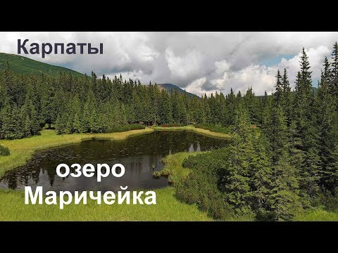
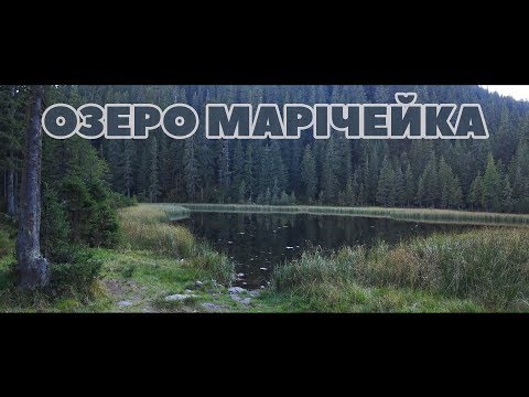
Lake Maricheika
Lake Maricheyka is one of the most picturesque alpine lakes in the Carpathians of glacial origin, located on the northeastern slope of Mount Shuryn, in the Chornohora massif, within the Verkhovyna district of Ivano-Frankivsk region. It is part of the Carpathian National Nature Park. One of the highest mountains in the Carpathian region, Mount Pip Ivan Chornohirsky, can be seen not far from the lake, its height reaches 2028 meters.
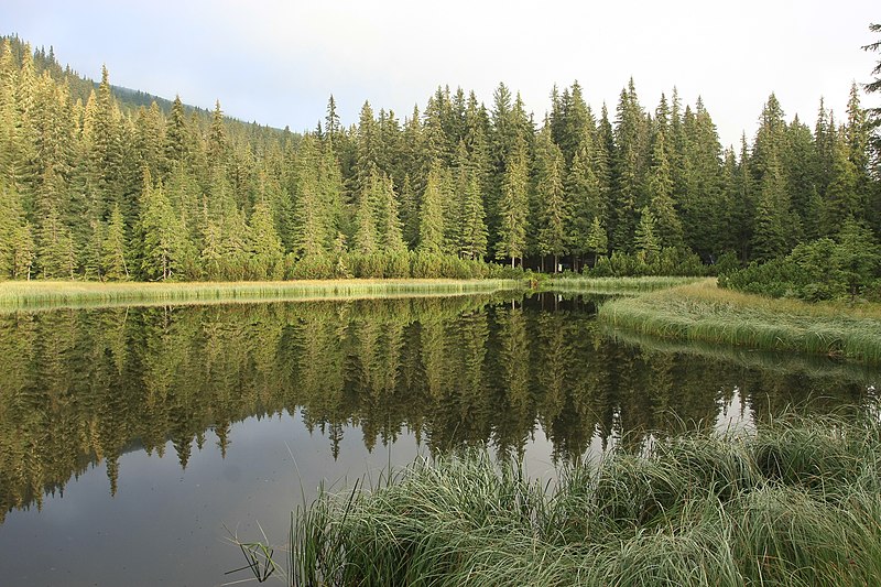
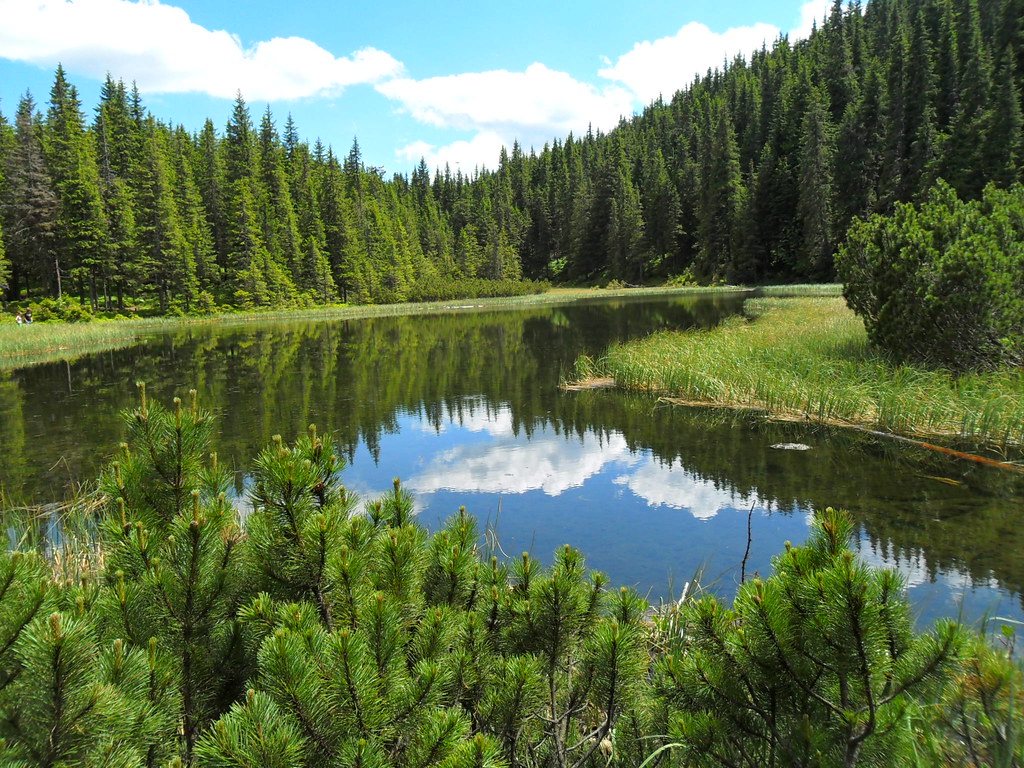
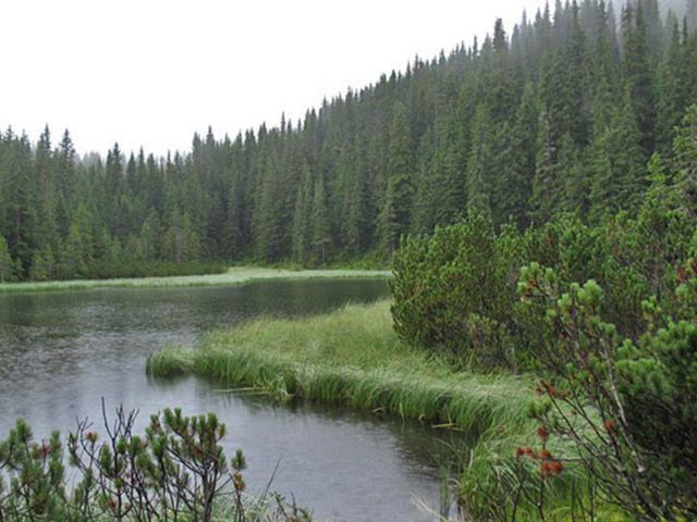
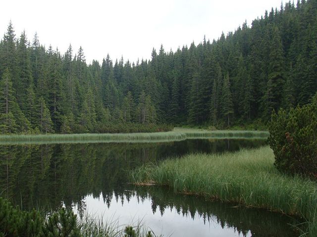
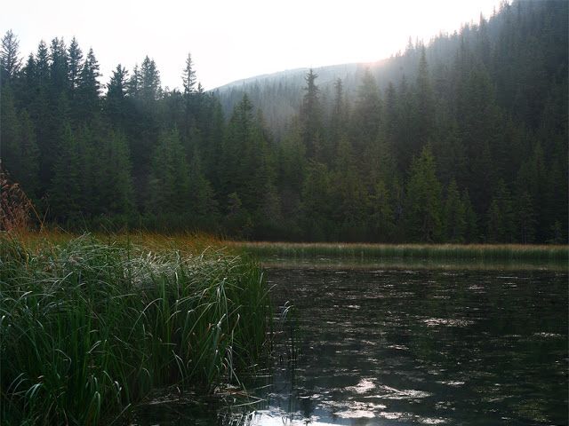
The lake is 88 meters long, 45 meters wide, and 1510 meters above sea level. Maricheika is the second largest lake in Chornohora. As early as 1880, T. Wisniewski pointed out that its maximum depth reached two meters. The current shallowing of the reservoir to 0.8 m (in pits with bottom springs up to 1.1 m) is associated with the destruction of the moraine by the waters of the stream flowing out of the lake. The basin is elongated. The shores are low, covered partly with subalpine meadows, partly with sedge thickets, and surrounded by spruce and mountain pine forests. It is fed by underground and partially atmospheric waters. The water is fresh and clean. The bottom is flat, muddy. Despite its shallow depth, you can swim in it.
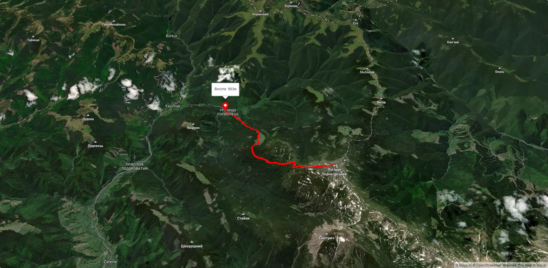
A stream flows out of the lake and enters the Pohorilets River (the left tributary of the Shybenyi, the Black Cheremosh basin). There are also several springs near the lake. The nearest settlement is the village of Yavirnyk. From above, the lake resembles an elongated drop of dew frozen in a dense coniferous forest.
Lake Maricheika attracted the attention of tourists already in the early twentieth century: the route from Burkut to Mount Pip Ivan Chornohirskyi passed by it. The famous Ukrainian mathematician Volodymyr Levytskyi wrote about his first trip to Chornohora in the second half of 1904: "On the way to the midday east of Pop Ivan we pass a mountain lake, one of those that are numerous in Chornohora (but not as beautiful as the one near Turkul), then we find good spring water and soon stand in the beautiful weather on the top of Pop Ivan. We rest for a while on this impressive mountain and enjoy the majestic view in all directions of the world, far, far away in the Rodnianski Alps..."
The landscapes of the lake are pleasing to the eye of every tourist. The shores of the lake are decorated with a forest of spruce and mountain pine. It is one of the largest alpine lakes in the Ukrainian Carpathians in terms of area. The name of the lake is preceded by a legend.
The legend of the lake
Maricheika, the young wife of the shepherd Ivan, saw the enemies and whispered to her beloved:
- "Ivan, my dear! Hurry up and run to our people, warn them! And I'll try to hold them off.
- I cannot leave you.
- Remember, dear, how many of us are there in the mountains. Fathers and mothers, old and young. All our people. They're in danger. Go!
And Ivan left. And proud Maricheika stood in the way of the enemies. They captured her... She was ordered:
- "Take her to your Hutsuls. Otherwise you will die!
They walked until nightfall. Maricheika led them to such wild places that they could not get out. The enemies were furious and attacked her with sabers... The earth trembled, a terrible wind blew, and thunder rolled. Stones flew into the sky, mountains moved, and a lake was formed. In it, the enemies found their deaths. Since then, the forest has been called the Maiden's Forest in honor of the brave girl, and the lake is called Maricheika...
Along Lake Maricheika there is a trail, one of the most interesting not only in the Carpathian National Park, but in the entire Carpathians. The natural scenery is incredibly beautiful. A trip to the lake will be a pleasant vacation for all tourists and eco-tourism enthusiasts in particular.
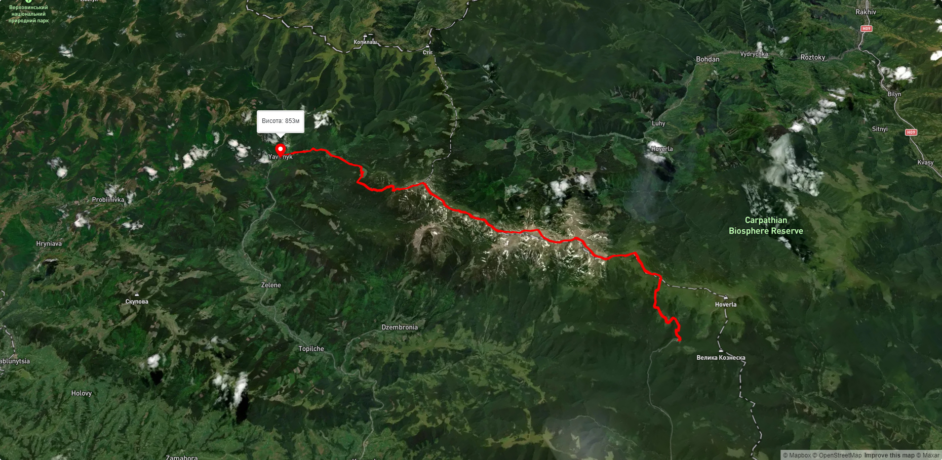
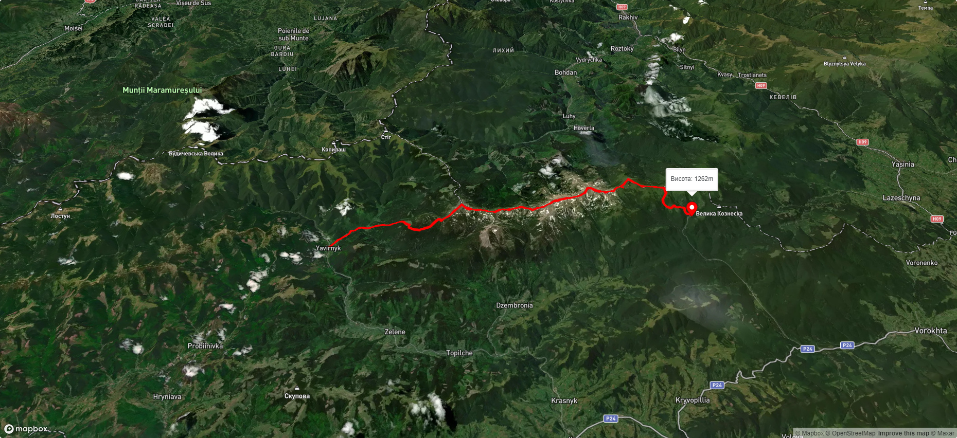
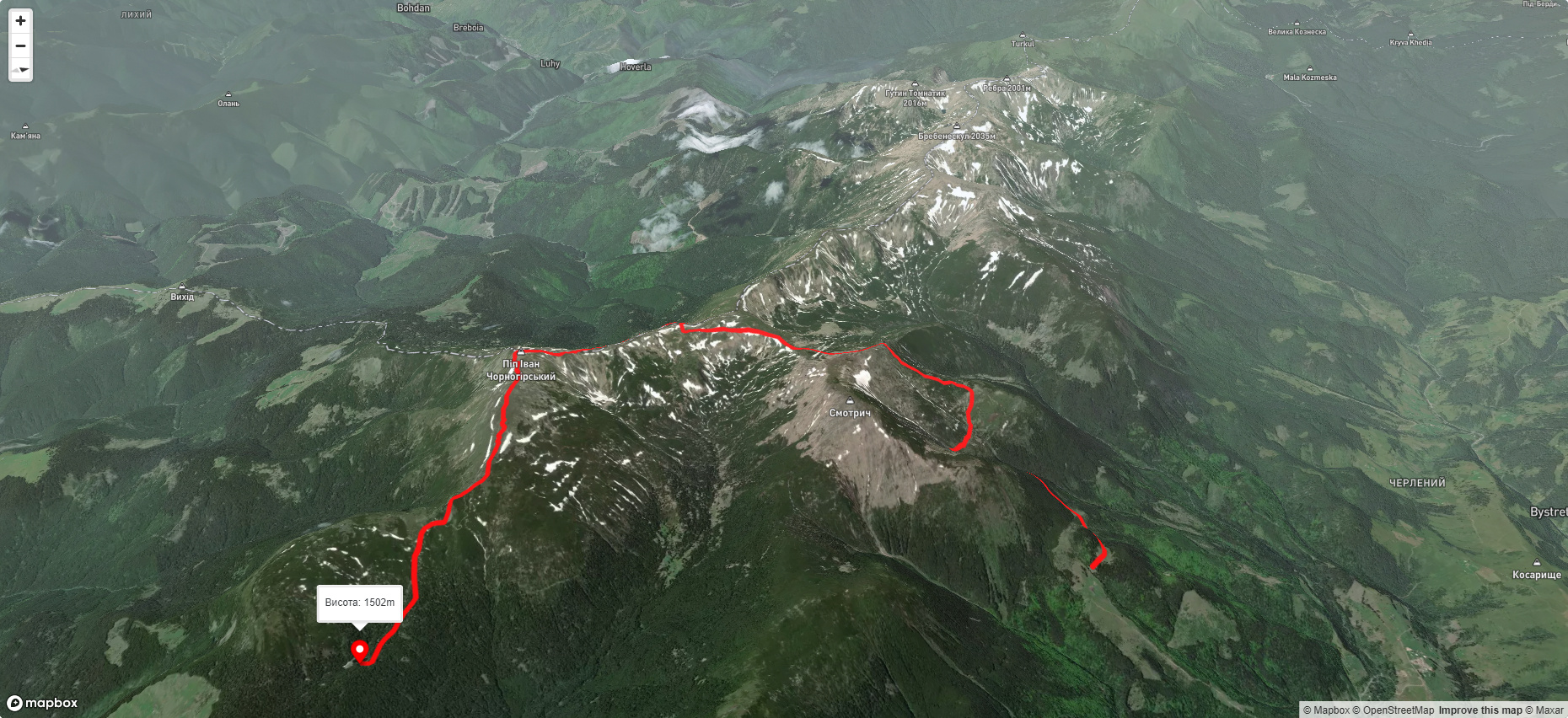
- There are several hiking trails that pass by Lake Maricheika. One of them leads to Lake Shybene and Mount Pip Ivan, past Lake Maricheika. The starting point is the mouth of the Shybene stream (13 km long, vertical ascent, 1170 m uphill). From the mouth of the Shybeny you need to walk west to Cheremosh for 4 km along a road that is open to car traffic, then to the dam of one of the largest Carpathian lakes - Shybeny. It is a natural lake adapted for collecting water (which was used for rafting wood in darabas on the Cheremosh River). The lake is located at an altitude of 1024 m, is 850 m long and 200 m wide, and is 25 m deep near the gateway. After exploring the lake, you need to go back one and a half kilometers, the road will lead to the mouth, which is on the left side of Pohorilets. Then you can follow the ridge to the Vesnarka meadow, under Mount Shuryn. Here you need to turn right, walk along the ravine to the northeast, then to the northwest, and the road will lead to Lake Maricheika (located 5 km from the beginning of the ascent). Behind the lake is the Maricheika meadow, and if you head west, you can reach the area between the Shuryn and Pip Ivan mountains. From here you can climb to the top.
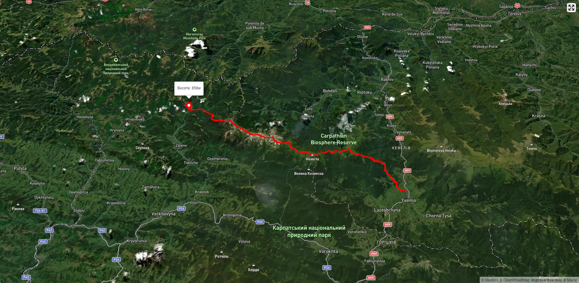
- You can also get to Maricheika from Verkhovyna (the journey will take about two hours). This road is considered one of the most interesting in the Carpathians and has scientific and educational value. It starts from the estate of the Vysokohirske Forestry and then goes along the slopes of the Chornohora ridge through an ecologically clean natural area. On its way, you can find unique landscapes of the alpine and subalpine zones. The world of flora impresses with endemic and rare plants listed in the Red Book - quassinia, Linnaeus fern, blueberries, Heifel saffron, St. John's wort. If you are lucky, you can meet representatives of the local fauna - spotted salamander, Carpathian newt, snow mink, squirrel, grouse, white-backed woodpecker, hare, fox, wild boar, roe deer, deer.
Accommodation around Lake Maricheika:


Які маршрути проходять повз Lake Maricheika?
Пропонуємо пройти такі туристичні (пішохідні) маршрути через/біля Lake Maricheika: с. Шибене, через г. Піп Іван Чорногірський, оз. Несамовите, г. Пожижевська до турбази "Заросляк", с. Шибене – г. Піп Іван Чорногірський – с. Шибене, смт. Ясіня, через г. Петрос, г. Говерла, г. Піп Іван Чорногірський до с. Шибене, с. Дземброня, через г. Піп Іван Чоногірський до пол. Веснарка, турбаза "Заросляк", через г. Туркул, г. Дземброня, г. Піп Іван Чорногірський, с. Шибене, с. Шибене, через пол. Веснарка до г. Піп Іван Чорногірський

с. Шибене, через г. Піп Іван Чорногірський, оз. Несамовите, г. Пожижевська до турбази "Заросляк"
с. Шибене – г. Піп Іван Чорногірський – с. Шибене
смт. Ясіня, через г. Петрос, г. Говерла, г. Піп Іван Чорногірський до с. Шибене
с. Дземброня, через г. Піп Іван Чоногірський до пол. Веснарка