Kuty
Kosiv district · Ivano-Frankivsk region
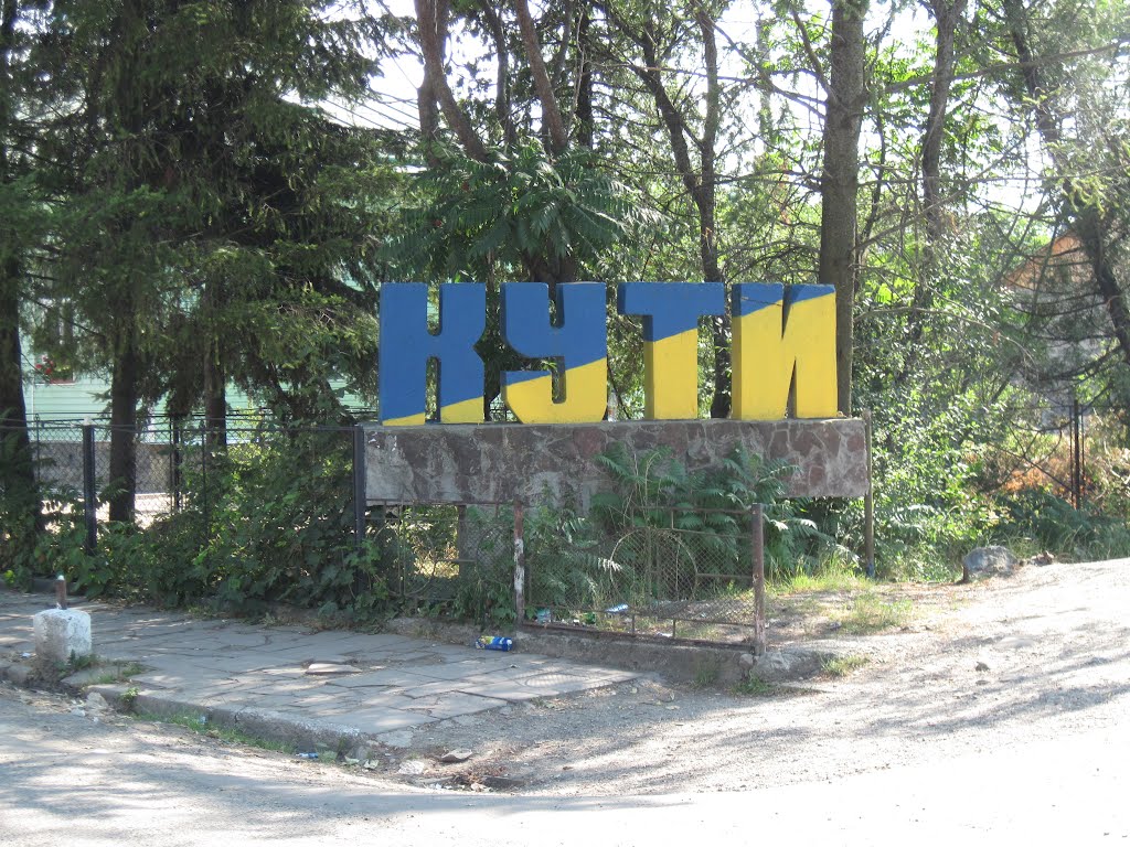
Kuty is a settlement in the Carpathian region of Ukraine. Location: Kosiv district, Ivano-Frankivsk region. Worth seeing nearby: Kuta Museum of Local Lore; Church of the Nativity of the Blessed Virgin Mary, Kuty — 1 km; Town Hall, Vyzhnytsia — 2 km. The nearest peaks: Mount Mykhalkova (Kosiv) — 812 m; Castle Hill (City) — 450 m; Mount Ostry (Ostra) — 584 m. Hiking trails close by: Nimchych Pass – Protiate Kaminnia; Smuharski Waterfalls. There are places to stay here and nearby, from guest houses to hotels.
Below: places to stay, sights, trails and peaks nearby, the weather and answers to frequent questions.
What to visit
Landmarks, museums and places of interest near Kuty.
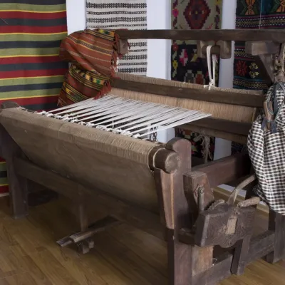 MuseumKuta Museum of Local LoreKutyunder 1 km from the centreThe museum is located in a vacated school building and occupies 5 rooms with the following exhibitions: "Products made of wicker, wood, and ceramics (nineteenth and...
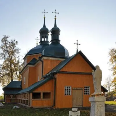 ChurchChurch of the Nativity of the Blessed Virgin Mary, KutyKuty1.2 km from the centreKuty is a very rich village because it has two beautiful churches. Although the Church of the Nativity of the Holy Virgin looks more modest than St.
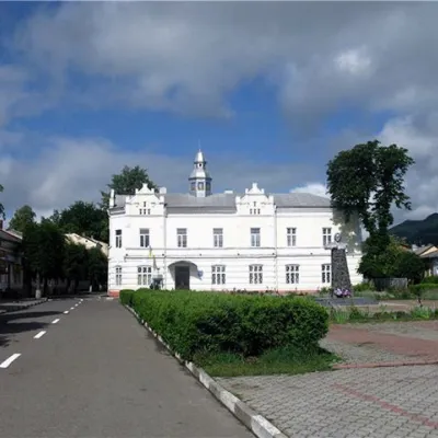 ArchitectureTown Hall, VyzhnytsiaVyzhnytsia2.1 km from the centreThe picturesque town of Vyzhnytsia has such a set of attractions that even small towns in Europe can envy it, as it has a complicated history, starting with the...
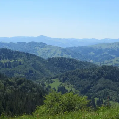 NatureHomynskyi Ridge (Kosiv)Kosiv4.7 km from the centreHomynskyi Ridge, with a height of up to 879 meters, is part of the Pokuttya-Bukovyna Carpathians. The mountain range stretches within the villages of Horod, Babyn, and...
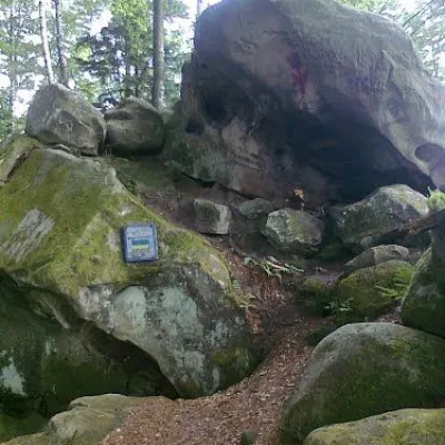 Historic siteDovbush's cave, Pidzakharychi.Pidzakharychi6 km from the centreThe brave leader of the opryshky did not ignore these places: not far from the Nimchych Pass, there was Dovbush's cave, which served as a refuge for the rebels.
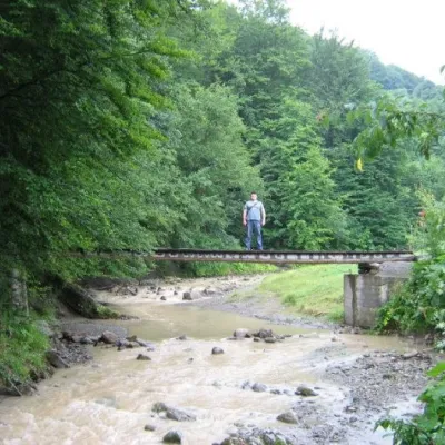 WaterfallMikva waterfallVyzhenka6.2 km from the centreThe Mykva Waterfall is a small but very picturesque waterfall located in the village of Vyzhenka, Chernivtsi region.
Where to stay
Hotels, guesthouses and cottages in and around Kuty.
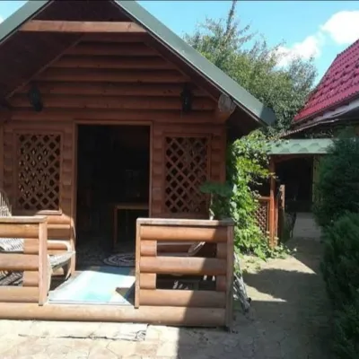 HomesteadHomestead "4 SEZONY"Kuty1.6 km from the centrePoolSaunaFireplaceNearby: Town Hall 2.0 kmMuseum of Applied Arts 2.2 km
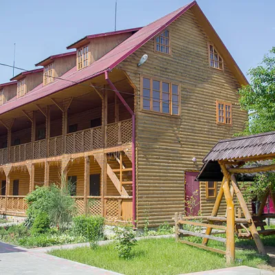 HomesteadRecreation Base "Nad Cheremoshem" MykulychynVyzhnytsia2.1 km from the centrePoolSaunaBBQNearby: Dovbush's cave 4.1 kmMikva waterfall 4.2 km1 trail
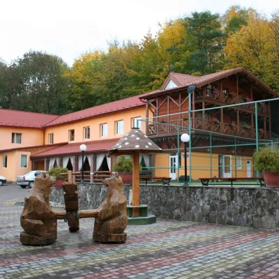 HotelSports and Wellness Complex "Bohatyr" MykulychynVyzhnytsia2.2 km from the centreSaunaBBQParkingNearby: Town Hall 1.4 kmSt. Nicholas Church 1.4 km
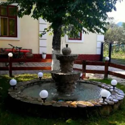 HotelCottage "Elka" MykulychynVyzhnytsia2.5 km from the centreBBQKitchenParkingNearby: Town Hall 1.8 kmDovbush's cave 4.5 km
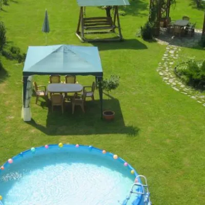 HotelVilla "Veselka"Stari Kuty2.7 km from the centrePoolNearby: Kuta Museum of Local Lore 2.7 kmTown Hall 4.5 km
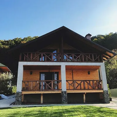 HomesteadHomestead "Panska Hospoda" MykulychynVyzhnytsia2.7 km from the centreSaunaBBQKitchenNearby: Peter and Paul Church 100 mMuseum of Applied Arts 900 m
Trails nearby
All trails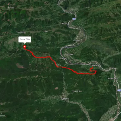 HardTwo-dayMarkedNimchych Pass Protiate KaminniaElevation profile473–820 m20.9 kmascent 1 063 m≈ 7.5 h walking5.9 km from the centre
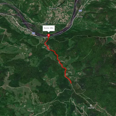 EasyOne-dayMarkedSmuharski WaterfallsElevation profile395–483 m4 kmascent 106 m≈ 1 h walking10 km from the centre
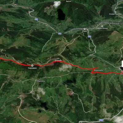 EasyOne-dayUnmarkedPysanyi Kamin Bukovets villageElevation profile774–1 207 m6.9 kmascent 127 m≈ 2 h walking17 km from the centre
Peaks nearby
All peaks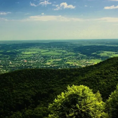 PeakMount Mykhalkova (Kosiv)Kosivaltitude 812 m8.4 km from the centreMount Mykhalkova (Mykhalkiv), with a height of 812 meters, is part of the Pokuttya Carpathians. The highest point of the city of Kosiv and the village of Horod.
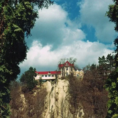 PeakCastle Hill (City)Kosivaltitude 450 m9.1 km from the centreThe top offers a panoramic view of the city. The mountain is home to unique black alpine pines, as well as deciduous and coniferous plantations, and white acacia...
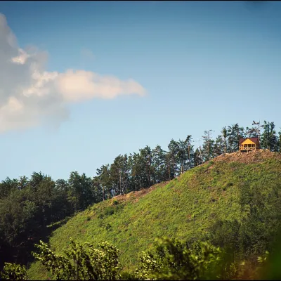 PeakMount Ostry (Ostra)Kosivaltitude 584 m9.3 km from the centreThe mountain offers wonderful views of the entire Kosiv. The descent is steep, and autumn is magical here.