Weather shelter
Weather shelter below Svítková
Slovakia · Żywiec Beskids range · 944 m
Condition
Not verifiedNo recent reports. Bring a tent and, if you pass by, tell us what you saw.
Last edited on the OSM map 11.01.2025
- 944 m
Practical info
- Contacts: hiking.dennikn.sk
About
Żywiec Beskids range, about 940 m above sea level. 4 of the site’s trails pass nearby, including “PTTK Hut on Rycerzowa – Talapkov Beskyd”.
On the map
Coordinates: 49.40678, 19.10497
How to get there
Trails nearby
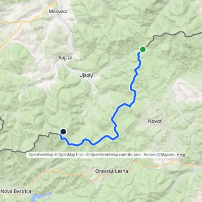 HardTwo-dayMarkedPTTK Hut on Rycerzowa Talapkov BeskydElevation profile842–1 226 m26 kmascent 1 149 m≈ 9 h walking
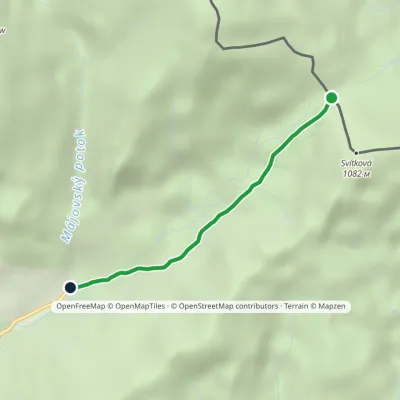 EasyOne-dayMarkedVychylovka Šudovci Sedlo PríslopElevation profile713–948 m2.4 km≈ 30 min walking
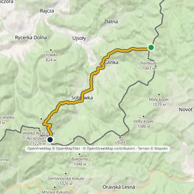 ModerateOne-dayMarkedKrawców Wierch Przysłop PassElevation profile609–1 126 m16.6 kmascent 627 m≈ 5.5 h walking
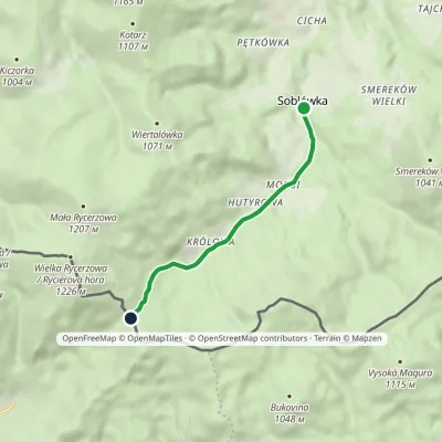 EasyOne-dayMarkedSoblówka Przysłop PassElevation profile648–948 m4.9 kmascent 311 m≈ 2 h walking
Report the condition
Been here recently? Tell us what you saw and add photos — your report appears on the page right away with today’s date.
No photos yet — send yours together with a condition report.
