Hut
Turistická útulňa Hut, 659 m
Slovakia · Kysuce Beskids range · 659 m
Condition
Not verifiedNo recent reports. Bring a tent and, if you pass by, tell us what you saw.
Last edited on the OSM map 28.04.2025
- 659 m
- Open fire inside (smoke hut)
Practical info
- Local name: Turistická útulňa
- Contacts: hiking.dennikn.sk
About
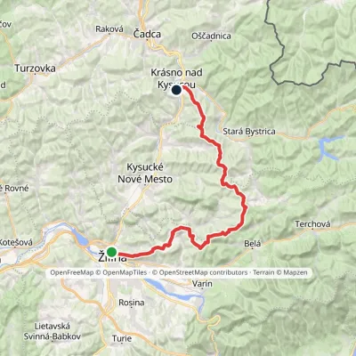
Kysuce Beskids range, about 660 m above sea level. The trail “Budatín – Krásno nad Kysucou, mesto” passes nearby.
Inside: an open fire. The nearest known spring is 540 m away.
On the map
Coordinates: 49.37255, 18.86252
How to get there
Trails nearby
Report the condition
Been here recently? Tell us what you saw and add photos — your report appears on the page right away with today’s date.
No photos yet — send yours together with a condition report.
