Mountain shelter
Trzy Korony Hut
Poland · Pieniny range · 470 m


- Photo: Jerzy Opioła · CC BY-SA 4.0 · Wikimedia Commons
- Photo: Palickap · CC BY-SA 4.0 · Wikimedia Commons
- Photo: Henryk Bielamowicz · CC BY-SA 4.0 · Wikimedia Commons
Condition
StandingNo hikers’ reports yet. According to open data the hut is open all year — check its website or call before setting out.
Last edited on the OSM map 06.07.2025
- 470 m
- Sleeps up to 50
- Meals served
- All year
Practical info
- Run by: PTTK
- Local name: Schronisko PTTK „Trzy Korony” w Sromowcach Niżnych
- Season: All year
- Food: Kitchen or buffet
- Built: 1930
- Contacts: +48 18 26 29 823 · trzykorony.pl
About
The Trzy Korony Hut stands in the Pieniny, in the village of Sromowce Niżne, on the southern slope below the Trzy Korony summit near the mouth of Wąwóz Szopczański, at about 470 m. It looks out over the Dunajec gorge, Trzy Korony, the Červený Kláštor monastery on the Slovak bank, the Slovak Pieniny and the Belianske Tatras.
The building was put up in 1929–1930 to a design by architect Jan Biasion; it then belonged to the Silesian Voivodeship and was known as the «Silesian Hut». During and after the war it served as a border guard post; in 1965 it passed to PTTK and in 1973 it was thoroughly modernised.
The hut is open all year, with 50 beds in 17 en-suite rooms, a buffet, club room and restaurant. The yellow trail runs through Wąwóz Szopczański and Przełęcz Szopka to Krościenko; the green one crosses the southern slopes of Trzy Korony to Koszarzyska glade and the main blue ridge trail. Mountain rescue: 985 or +48 601 100 300.
On the map
Coordinates: 49.40519, 20.41132
How to get there
from Krościenko nad Dunajcem on the yellow trail via Przełęcz Szopka and Wąwóz Szopczański.
Trails nearby
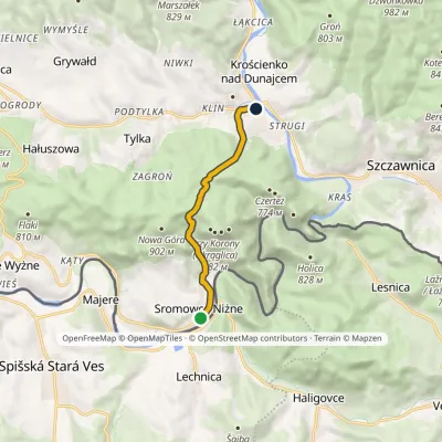 EasyOne-dayMarkedSromowce Niżne Krościenko nad DunajcemElevation profile424–789 m6.5 kmascent 353 m≈ 2.5 h walking
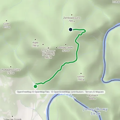 EasyOne-dayMarkedSromowce Niżne KosarzyskaElevation profile486–829 m2.1 kmascent 343 m≈ 1 h walking
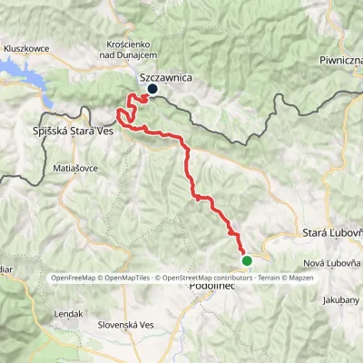 HardMulti-dayMarkedPieninská cestaElevation profile428–1 085 m33 kmascent 1 002 m≈ 10.5 h walking
Report the condition
Been here recently? Tell us what you saw and add photos — your report appears on the page right away with today’s date.
