Mountain shelter
Słowianka Tourist Station
Poland · Żywiec Beskids range · 848 m
Condition
StandingNo hikers’ reports yet. According to open data the hut is open — check its website or call before setting out.
Last edited on the OSM map 18.10.2023
- 848 m
- Staffed
Practical info
- Local name: Stacja Turystyczna Słowianka
- Contacts: +48 606 320 217
About
Żywiec Beskids range, about 850 m above sea level. 4 of the site’s trails pass nearby, including “Słowianka – Brzuśnik”.
The hut is staffed.
On the map
Coordinates: 49.57832, 19.21389
How to get there
Trails nearby
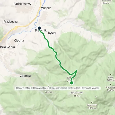 EasyOne-dayMarkedSłowianka BrzuśnikElevation profile401–946 m8.5 kmascent 94 m≈ 2.5 h walking
 HardMulti-dayMarkedMain Trail of BeskidyElevation profile309–1 723 m499.9 kmascent 19 519 m
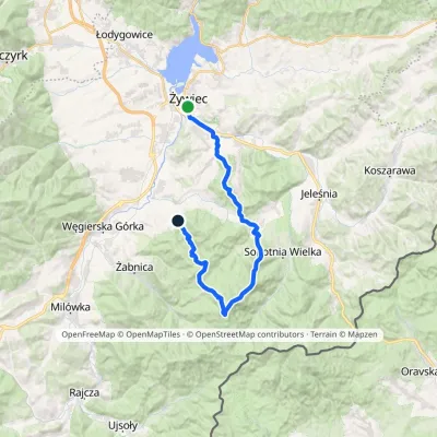 HardMulti-dayMarkedŻywiec Bystra GórnaElevation profile350–1 366 m29.4 kmascent 1 356 m≈ 10 h walking
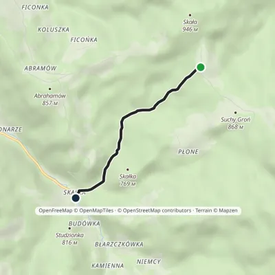 EasyOne-dayMarkedŻabnica Skałka SłowiankaElevation profile591–853 m3.1 kmascent 3 m≈ 45 min walking
Report the condition
Been here recently? Tell us what you saw and add photos — your report appears on the page right away with today’s date.
No photos yet — send yours together with a condition report.
