Picnic shelter
Picnic shelter below Ľudmanka (west slope)
Slovakia · Slovak Paradise range · 641 m
Condition
Not verifiedNo recent reports. Bring a tent and, if you pass by, tell us what you saw.
Last edited on the OSM map 17.07.2025
- 641 m
About
Slovak Paradise range, about 640 m above sea level. 4 of the site’s trails pass nearby, including “Spišské Tomášovce, zastávka – Pod Čižmou”.
The nearest known spring is 1.2 km away.
On the map
Coordinates: 48.94512, 20.45995
How to get there
Trails nearby
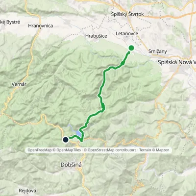 HardTwo-dayMarkedSpišské Tomášovce, zastávka Pod ČižmouElevation profile515–1 092 m23 kmascent 866 m≈ 7.5 h walking
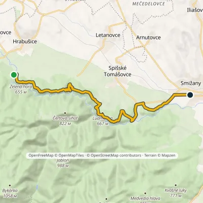 ModerateOne-dayMarkedSmižany, zastávka Hrdlo HornáduElevation profile483–667 m13.5 kmascent 422 m≈ 4 h walking
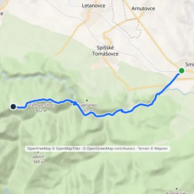 EasyOne-dayMarkedSmižany Kláštorisko, hutElevation profile484–839 m8.8 kmascent 377 m≈ 3 h walking
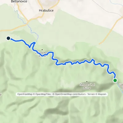 EasyOne-dayMarkedChodník Horskej službyElevation profile515–578 m8.6 kmascent 116 m≈ 2.5 h walking
Report the condition
Been here recently? Tell us what you saw and add photos — your report appears on the page right away with today’s date.
No photos yet — send yours together with a condition report.
