Picnic shelter
Krościenko nad Dunajcem Gazebo
Poland · Sądecki Beskids range · 420 m
Condition
Not verifiedNo recent reports. Bring a tent and, if you pass by, tell us what you saw.
Last edited on the OSM map 29.09.2023
- 420 m
Practical info
- Run by: Zarząd Dróg Wojewódzkich w Krakowie
- Local name: MOR Krościenko nad Dunajcem
About
Sądecki Beskids range, about 420 m above sea level. Mount Bajków Groń (716 m) is about 2.2 km away. 4 of the site’s trails pass nearby, including “Main Trail of Beskidy”.
Run by Zarząd Dróg Wojewódzkich w Krakowie. The nearest known spring is 300 m away.
On the map
Coordinates: 49.44327, 20.42916
How to get there
Trails nearby
 HardMulti-dayMarkedMain Trail of BeskidyElevation profile309–1 723 m499.9 kmascent 19 519 m
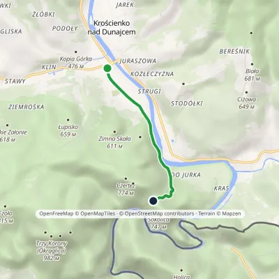 EasyOne-dayMarkedKrościenko nad Dunajcem Przełęcz SosnówElevation profile424–682 m3 kmascent 262 m≈ 1.5 h walking
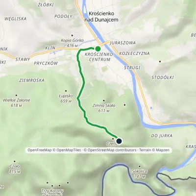 EasyOne-dayMarkedKrościenko nad Dunajcem BurzanaElevation profile424–774 m3 kmascent 352 m≈ 1.5 h walking
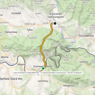 EasyOne-dayMarkedSromowce Niżne Krościenko nad DunajcemElevation profile424–789 m6.5 kmascent 353 m≈ 2.5 h walking
Report the condition
Been here recently? Tell us what you saw and add photos — your report appears on the page right away with today’s date.
No photos yet — send yours together with a condition report.
