Hut
Koliba pod Klinom Shelter
Slovakia · Western Tatras range · 1 439 m
Condition
Not verifiedNo recent reports. Bring a tent and, if you pass by, tell us what you saw.
Last edited on the OSM map 18.07.2024
- 1 439 m
Practical info
- Local name: Koliba pod Klinom
- Contacts: hiking.dennikn.sk
About
Western Tatras range, about 1 440 m above sea level. Mount Starorobociański Wierch (Klin) (2 176 m) is about 1.6 km away. 3 of the site’s trails pass nearby, including “Prostredná Meadow – Račkovo Saddle”.
The nearest known spring is 580 m away.
On the map
Coordinates: 49.18536, 19.81625
How to get there
Trails nearby
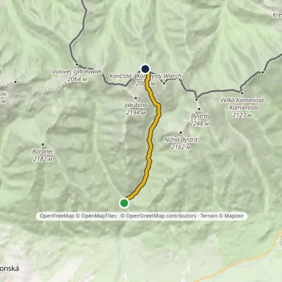 ModerateOne-dayMarkedProstredná Meadow Račkovo SaddleElevation profile962–2 002 m7.5 kmascent 1 040 m≈ 4 h walking
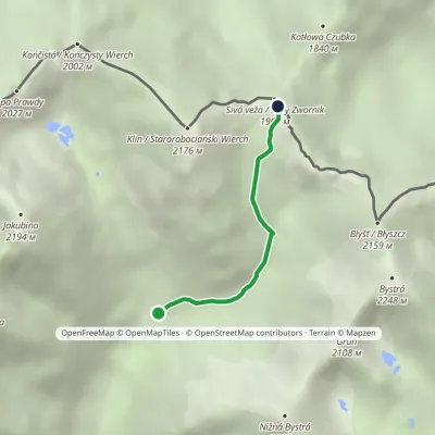 ModerateOne-dayMarkedJunction under Klin Gáborovo SaddleElevation profile1 450–1 965 m2.5 kmascent 515 m≈ 1.5 h walking
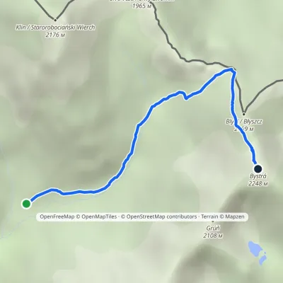 HardOne-dayMarkedJunction in Gáborova Valley BystráElevation profile1 450–2 248 m3.2 kmascent 798 m≈ 2.5 h walking
Report the condition
Been here recently? Tell us what you saw and add photos — your report appears on the page right away with today’s date.
No photos yet — send yours together with a condition report.
