Mountain shelter
Klimczok Hut
Poland · Silesian Beskids range · 1 052 m


- Photo: Marek Mróz · CC BY 4.0 · Wikimedia Commons
- Photo: Franciszek Polaczek · Public domain · Wikimedia Commons
Condition
StandingNo hikers’ reports yet. According to open data the hut is open — check its website or call before setting out.
Last edited on the OSM map 06.07.2025
- 1 052 m
- Sleeps up to 50
- Meals served
Practical info
- Run by: PTTK
- Local name: Schronisko PTTK Klimczok
- Food: Kitchen or buffet
- Built: 1914
- Contacts: schroniskoklimczok.com.pl
About
The Klimczok Hut stands in the Silesian Beskids on the pass below Klimczok, between the summit of Magura and Siodło pass, at 1,052 m.
The first wooden house was built for hunters in 1869 and named Klementinenhütte after the estate owner, Klementine von Primavesi. The Bielsko-based Beskidenverein enlarged it for hikers, but it burned down several times, once on its opening day in 1895. In 1914 a new stone building went up, and it still stands with only minor changes. After the war it was taken over by the Polish Tatra Society, and since 1950 it has been run by PTTK, which added an east wing by 1961.
There are 50 beds in rooms with bathrooms, a buffet and full meals; a GOPR building and a ski tow are nearby. A dense web of trails meets at the pass: red from Szyndzielnia and Karkoszczonka, blue and green from Szczyrk, Bystra and Wilkowice, and black to the top of Klimczok. Mountain rescue: 985 or +48 601 100 300.
On the map
Coordinates: 49.73860, 19.00502
How to get there
from Szyndzielnia on the red trail, about 30 min; from Szczyrk on the blue or green trail, about 1 h 45 min.
Trails nearby
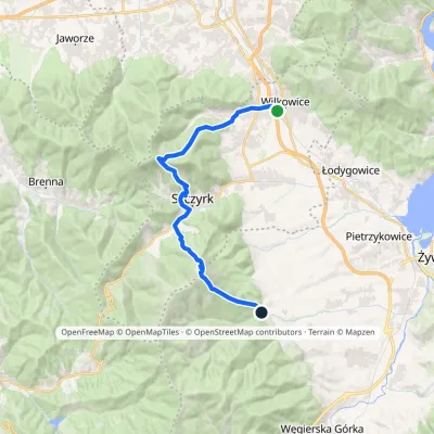 HardTwo-dayMarkedWilkowice OstreElevation profile394–1 245 m21.3 kmascent 1 387 m≈ 8 h walking
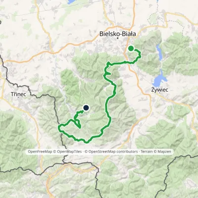 HardMulti-dayMarkedStraconka SmrekowiecElevation profile394–1 257 m79 kmascent 3 481 m
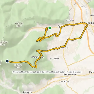 ModerateTwo-dayMarkedBystra Klimczok Hutvia MesznaElevation profile394–1 109 m16 kmascent 994 m≈ 6 h walking
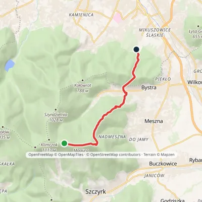 EasyOne-dayMarkedCygański Las "Błonia" Klimczok Hutvia Bystra Górna, MaguraElevation profile423–1 109 m7.5 kmascent 177 m≈ 2 h walking
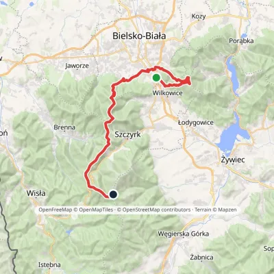 HardMulti-dayMarkedMikuszowice Krakowskie Malinowska SkałaElevation profile346–1 152 m38.1 kmascent 1 985 m≈ 13.5 h walking
Report the condition
Been here recently? Tell us what you saw and add photos — your report appears on the page right away with today’s date.
