Weather shelter
Weather shelter on Klimczok
Poland · Silesian Beskids range · 1 102 m
Condition
Not verifiedNo recent reports. Bring a tent and, if you pass by, tell us what you saw.
Last edited on the OSM map 23.06.2018
- 1 102 m
Practical info
- Local name: Chatka na Klimczoku
About
Silesian Beskids range, about 1 100 m above sea level. 4 of the site’s trails pass nearby, including “Mikuszowice Śląskie – Jaworze Centrum”.
On the map
Coordinates: 49.73994, 18.99645
How to get there
Trails nearby
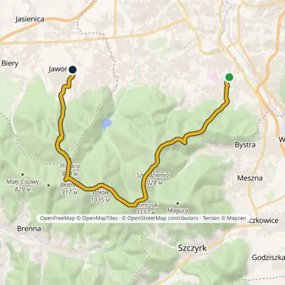 ModerateTwo-dayMarkedMikuszowice Śląskie Jaworze CentrumElevation profile364–1 117 m18.9 kmascent 840 m≈ 6.5 h walking
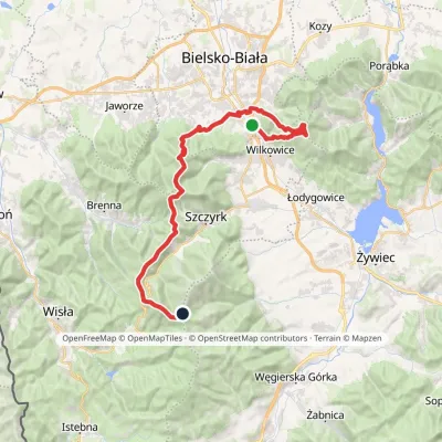 HardMulti-dayMarkedMikuszowice Krakowskie Malinowska SkałaElevation profile346–1 152 m38.1 kmascent 1 985 m≈ 13.5 h walking
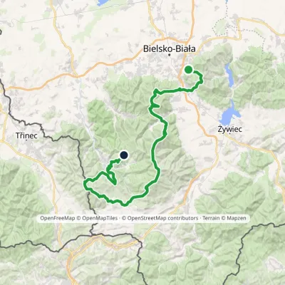 HardMulti-dayMarkedStraconka SmrekowiecElevation profile394–1 257 m79 kmascent 3 481 m
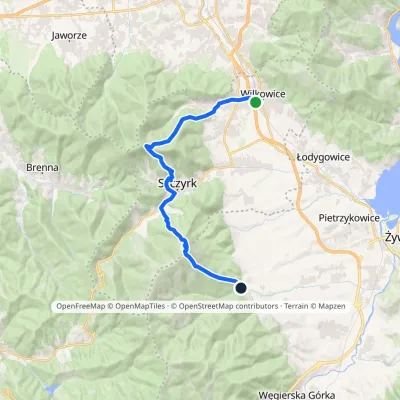 HardTwo-dayMarkedWilkowice OstreElevation profile394–1 245 m21.3 kmascent 1 387 m≈ 8 h walking
Report the condition
Been here recently? Tell us what you saw and add photos — your report appears on the page right away with today’s date.
No photos yet — send yours together with a condition report.
