Mountain shelter
Przehyba Hut
Poland · Sądecki Beskids range · 1 138 m


- Photo: Niegodzisie · CC BY 4.0 · Wikimedia Commons
- Photo: Zalasem1 · CC BY-SA 4.0 · Wikimedia Commons
- Photo: Andrzej O · CC BY-SA 3.0 · Wikimedia Commons
- Photo: Feliks Rapf · Public domain · Wikimedia Commons
Condition
StandingNo hikers’ reports yet. According to open data the hut is open — check its website or call before setting out.
Last edited on the OSM map 06.07.2025
- 1 138 m
- Sleeps up to 50
- Meals served
Practical info
- Run by: PTTK
- Local name: Schronisko PTTK im. Kazimierza Sosnowskiego na Przehybie (Prehybie)
- Food: Kitchen or buffet
- Contacts: przehyba.pl
About
The Przehyba (Prehyba) Hut stands in the Sądecki Beskids, on the Radziejowa range, at 1,138 m. It can be reached on foot or by an asphalt road.
Kazimierz Sosnowski proposed a hut here as early as 1908, but construction only began in 1937, and the hut took its first guests that November; in 1938 it was named after Sosnowski. During the occupation it sheltered partisans and hosted clandestine Home Army training courses, so in December 1944 the Germans burned it. A new stone hut opened on 23 August 1958. On 17 December 1991 its wooden part burned down, and the building was rebuilt in the early 1990s.
There are 50 beds, a kitchen, buffet, large dining room and viewing terrace. The red Main Beskid Trail (Rytro – Krościenko), the blue trail (Rytro – Szczawnica), the green one (Szczawnica – Jazowsko) and the yellow one from Stary Sącz meet at the hut. Mountain rescue: 985 or +48 601 100 300.
On the map
Coordinates: 49.46645, 20.55577
How to get there
from Szczawnica on the blue trail or the green one via Gabańka; from Rytro on the red Main Beskid Trail.
Trails nearby
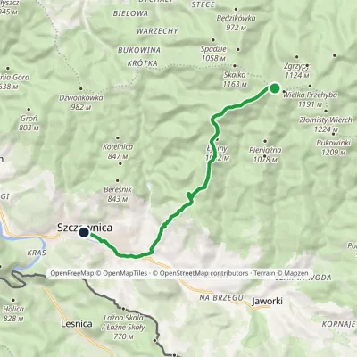 EasyOne-dayMarkedPrzehyba Szczawnica ZdrójElevation profile461–1 153 m10.2 kmascent 64 m≈ 2.5 h walking
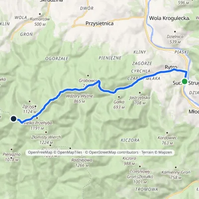 ModerateOne-dayMarkedRytro PrzehybaElevation profile347–1 175 m11.6 kmascent 859 m≈ 4.5 h walking
 HardMulti-dayMarkedMain Trail of BeskidyElevation profile309–1 723 m499.9 kmascent 19 519 m
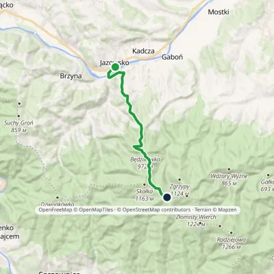 ModerateOne-dayMarkedJazowsko PrehybaElevation profile330–1 153 m10.5 kmascent 842 m≈ 4.5 h walking
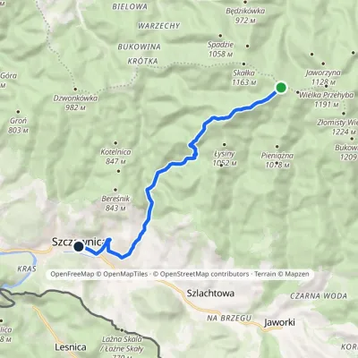 EasyOne-dayMarkedPrzehyba Szczawnica ZdrójElevation profile462–1 151 m9.7 kmascent 45 m≈ 2.5 h walking
Report the condition
Been here recently? Tell us what you saw and add photos — your report appears on the page right away with today’s date.
