Picnic shelter
Picnic shelter below Liberbarek
Slovakia · Čergov Mountains range · 754 m
Condition
Not verifiedNo recent reports. Bring a tent and, if you pass by, tell us what you saw.
Last edited on the OSM map 18.10.2026
- 754 m
About
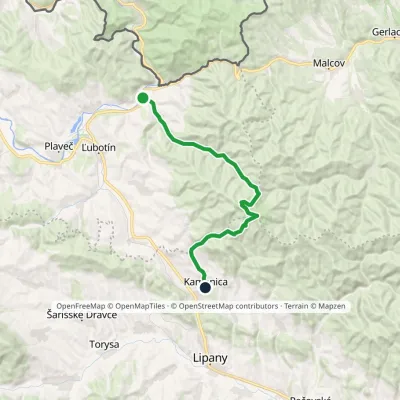
Čergov Mountains range, about 750 m above sea level. The trail “Čirč junction – Kamenica, junction” passes nearby.
It is only a roof against the weather, not a place for a comfortable night. The nearest known spring is 350 m away.
In an emergency in the mountains call the rescuers (Horská záchranná služba): 18 300 or 112.
On the map
Coordinates: 49.21860, 20.97263
How to get there
Trails nearby
Report the condition
Been here recently? Tell us what you saw and add photos — your report appears on the page right away with today’s date.
No photos yet — send yours together with a condition report.
