Well
Miejska Well
Poland · Low Beskids range · 302 m
Condition
Not verifiedNo recent reports. Carry water and, if you pass by, tell us what you saw.
Last edited on the OSM map 28.04.2025
- 302 m
About
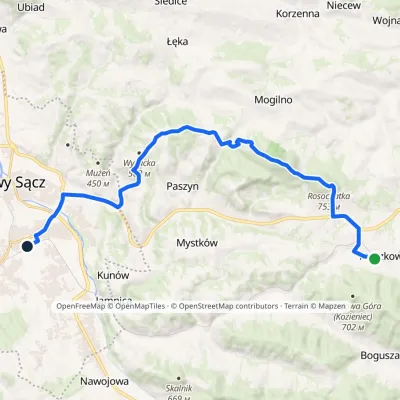
Local name: Studnia Miejska. Low Beskids range, about 300 m above sea level. The trail “Ptaszkowa station – Nowy Sącz station” passes nearby.
On the map
Coordinates: 49.62121, 20.73936
How to get there
Trails nearby
Report the condition
Been here recently? Tell us what you saw and add photos — your report appears on the page right away with today’s date.
No photos yet — send yours together with a condition report.
