Spring
Spring below Predný Japeň (north-east slope), 696 m
Slovakia · Greater Fatra range · 696 m
Condition
Not verifiedNo recent reports. Carry water and, if you pass by, tell us what you saw.
Last edited on the OSM map 07.03.2024
- 696 m
- Marked as drinkable
About
Greater Fatra range, about 700 m above sea level. 3 of the site’s trails pass nearby, including “Kráľova studňa, spring – Staré Hory, near chapel”.
The water is marked as drinkable on the map, but nobody guarantees its quality.
On the map
Coordinates: 48.84573, 19.08844
How to get there
Trails nearby
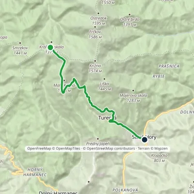 EasyOne-dayMarkedKráľova studňa, spring Staré Hory, near chapelElevation profile482–1 357 m10.5 kmascent 36 m≈ 2.5 h walking
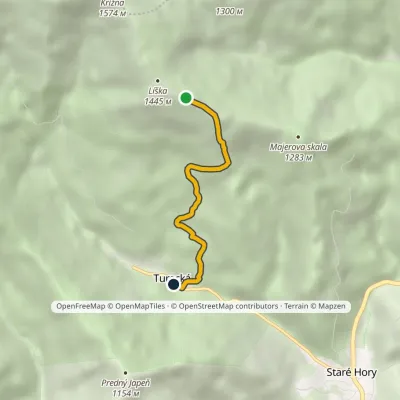 EasyOne-dayMarkedTurecká Pod LíškouElevation profile608–1 386 m3.4 kmascent 6 m≈ 45 min walking
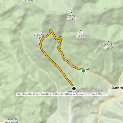 ModerateOne-dayMarkedTurecká JapeňElevation profile614–1 279 m8 kmascent 790 m≈ 3.5 h walking
Report the condition
Been here recently? Tell us what you saw and add photos — your report appears on the page right away with today’s date.
No photos yet — send yours together with a condition report.
