Spring
Spring below Klepáč (south slope)
Slovakia · Strážov Mountains range · 468 m
Condition
Not verifiedNo recent reports. Carry water and, if you pass by, tell us what you saw.
Last edited on the OSM map 09.03.2025
- 468 m
- Not for drinking
About
Strážov Mountains range, about 470 m above sea level. 5 of the site’s trails pass nearby, including “Trenčianske Teplice, park – Malý Klepáč (green trail)”.
This water is not fit for drinking.
On the map
Coordinates: 48.89756, 18.17334
How to get there
Trails nearby
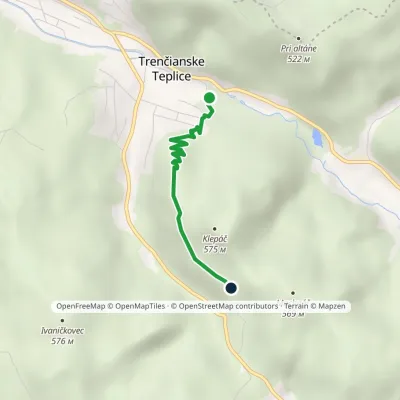 EasyOne-dayMarkedTrenčianske Teplice, park Malý Klepáč (green trail)Elevation profile280–491 m2.4 kmascent 218 m≈ 1 h walking
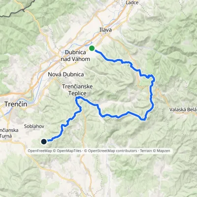 HardMulti-dayMarkedPrejta Hut under Ostrý vrchElevation profile247–955 m47.9 kmascent 2 010 m
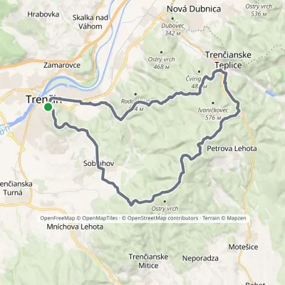 HardMulti-dayMarkedVladov Trail (marathon route)Elevation profile212–701 m33 kmascent 1 109 m≈ 10.5 h walking
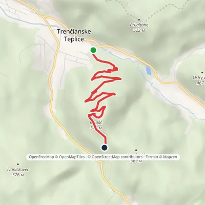 EasyOne-dayMarkedTrenčianske Teplice, park Malý Klepáč (red trail)Elevation profile280–575 m4.3 kmascent 295 m≈ 1.5 h walking
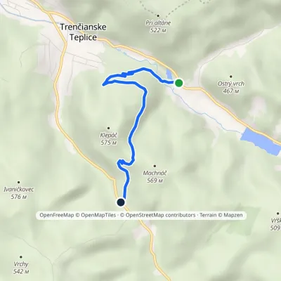 EasyOne-dayMarkedBaračka Pod Machnáčom junctionElevation profile290–530 m3.6 kmascent 236 m≈ 1.5 h walking
Report the condition
Been here recently? Tell us what you saw and add photos — your report appears on the page right away with today’s date.
No photos yet — send yours together with a condition report.
