Spring
Spring in the tunnel
Slovakia · Štiavnica Mountains range · 381 m
Condition
Not verifiedNo recent reports. Carry water and, if you pass by, tell us what you saw.
Last edited on the OSM map 16.06.2024
- 381 m
About
Local name: Prameň v štôlni. Štiavnica Mountains range, about 380 m above sea level. 3 of the site’s trails pass nearby, including “Červená Studňa Saddle – Vyhne”.
On the map
Coordinates: 48.50503, 18.78946
How to get there
Trails nearby
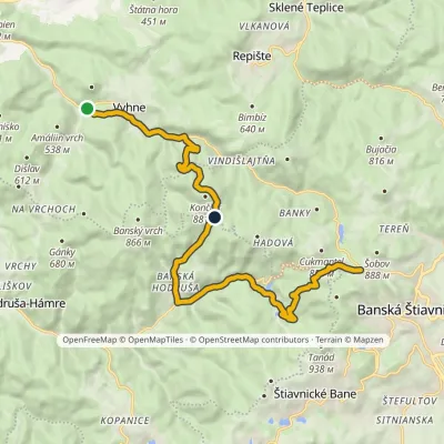 ModerateTwo-dayMarkedČervená Studňa Saddle VyhneElevation profile310–862 m16.6 kmascent 1 081 m≈ 6.5 h walking
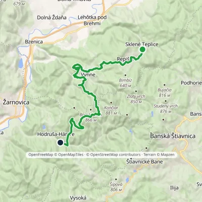 HardTwo-dayMarkedHodruša Sklené Teplicevia Hámre, SandrikElevation profile310–804 m23.5 kmascent 862 m≈ 7.5 h walking
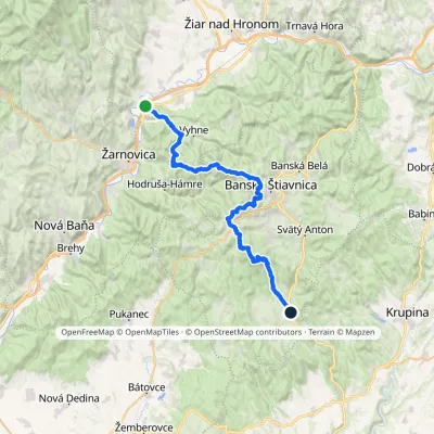 HardMulti-dayMarkedAndrej Kmeť TrailElevation profile231–1 009 m39.6 kmascent 1 214 m≈ 12.5 h walking
Report the condition
Been here recently? Tell us what you saw and add photos — your report appears on the page right away with today’s date.
No photos yet — send yours together with a condition report.
