Chornoholova
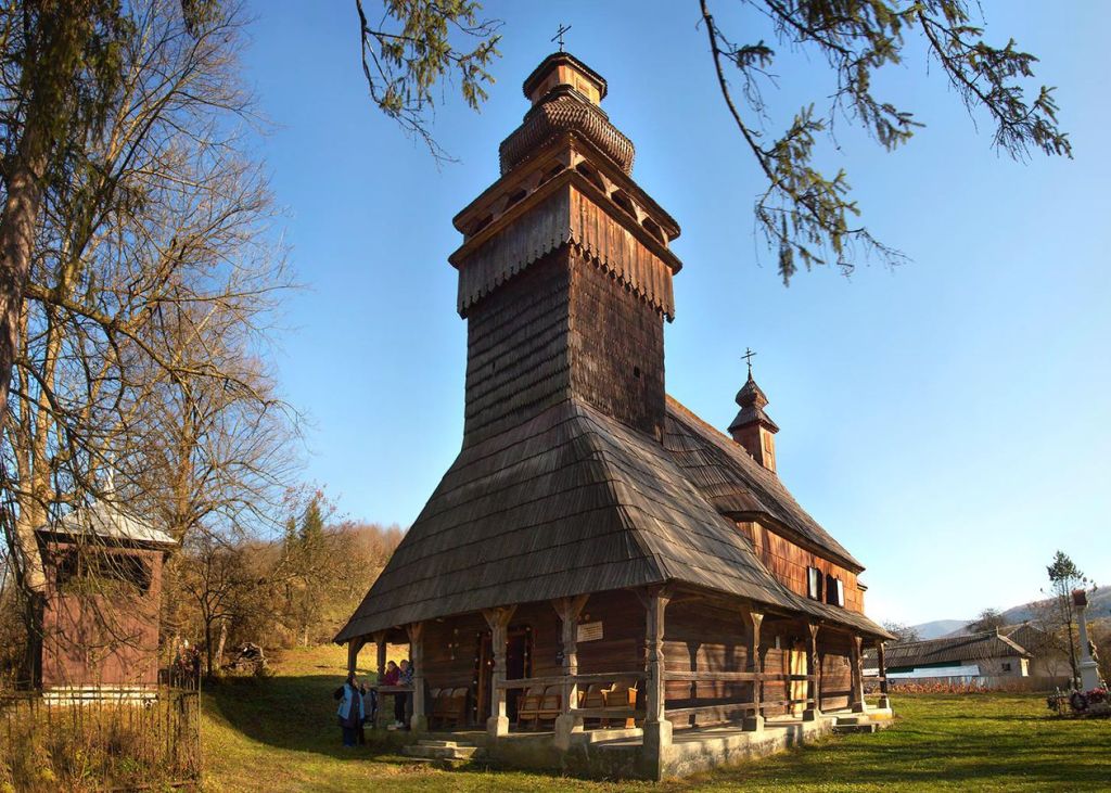
Chornoholova is a settlement in the Carpathian region of Ukraine. Location: Uzhhorod district, Transcarpathian region. Worth seeing nearby: Lumshory waterfalls — 10 km; Church of the Intercession of the Holy Virgin, Kostryna — 10 km; Uzh River — 12 km. The nearest peaks: Mount Yavirnyk — 1 017 m; Mount Mala Holytsia — 1 184 m; Mount Judah Top — 972 m. Hiking trails close by: Velykyi Bereznyi village, via Ruskyi Mochar village and Mount Yavirnyk to Chornoholova village; Kostryno village, via Vyshka village, Liuta village, Mount Liutianska Holytsia and Runa polonyna to Pastilky village. There are places to stay here and nearby, from guest houses to hotels.
Below: places to stay, sights, trails and peaks nearby, the weather and answers to frequent questions.
What to visit
Landmarks, museums and places of interest near Chornoholova.
 WaterfallLumshory waterfallsLumshory10 km from the centreLumshory waterfalls are a group of waterfalls in the Ukrainian Carpathians, a hydrological natural monument of local importance (called "Waterfall on the Turytsia...
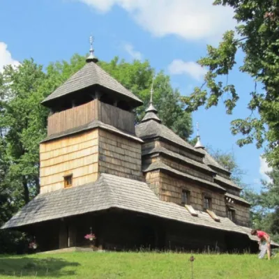 ChurchChurch of the Intercession of the Holy Virgin, KostrynaKostrynska Roztoka10 km from the centreChurch of the Intercession of the Holy Virgin - a wooden church located in the village of Kostryna, in the Velykobereznyanskyi district of the Zakarpattia region, a...
 RiverUzh RiverVelykyi Bereznyi12 km from the centreAbove the Uzh near Kamianytsia stand the ruins of Nevytsky Castle, and in Uzhhorod the Masaryk Bridge offers a good view of the river.
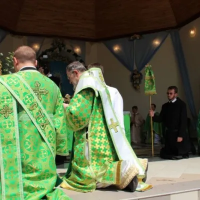 SightBasilian Monastery of St. Nicholas, Male BerezneMalyi Bereznyi12 km from the centreThe monastery is located in the village of Malyi Bereznyi, on the slope of Mount Dilok, near the Uzh River.
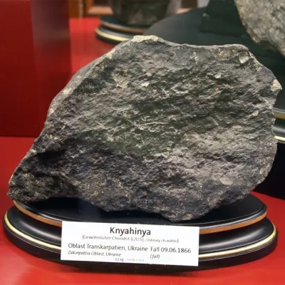 ArchaeologyTranscarpathian meteorite "Knyahynya"Kniahynia15 km from the centreKnyahynya is a stone meteorite (chondrite, group LL5) weighing over 500 kilograms. It is the largest meteorite found in Europe in recent history.
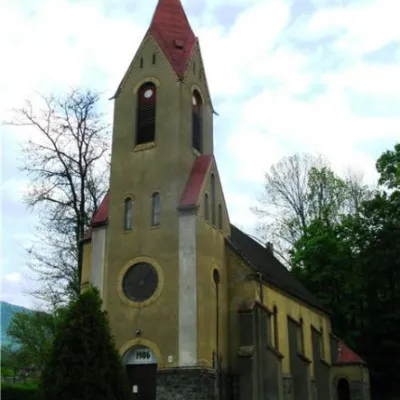 ArchitectureChurch of St. Augustine, PerechynPerechyn17 km from the centreThe city of Perechyn was mentioned in historical documents, lists of possessions, and written works as early as 1266, 1349, and 1425.
Where to stay
Hotels, guesthouses and cottages in and around Chornoholova.
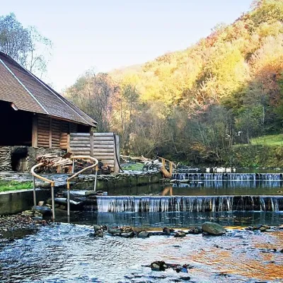 HotelComplex "Myslyvska Sadiba" Lumshory (5 Chans, Pool, Beach)Lumshory9.3 km from the centreHot tubPoolSaunaNearby: Lumshory waterfalls 2.0 kmChurch of St. Basil the Great 2.8 km12 trails
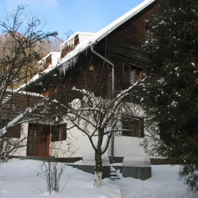 HotelRecreation Base "Lumshory"Lumshory9.4 km from the centreParkingWi‑FiKidsNearby: Lumshory waterfalls 2.1 kmChurch of St. Basil the Great 2.6 km13 trails
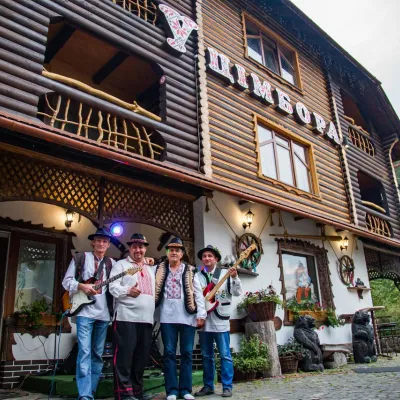 HotelHotel "U Tsimbora" LumshoryLumshory9.8 km from the centreHot tubSaunaSPANearby: Lumshory waterfalls 800 mChurch of St. Basil the Great 3.3 km12 trails
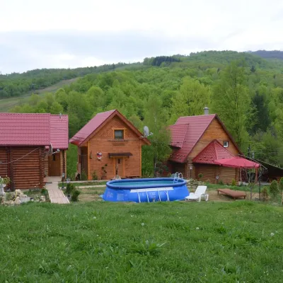 HomesteadPrivate Homestead "Teremok" VyshkaVyshka10 km from the centrePoolSaunaFireplaceNearby: Mt Yavirnyk 8.7 kmMt Judah Top 9.3 km3 trails
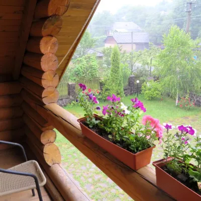 HotelMini-Hotel "Verkhovynskyi Dvir" KostrynaKostryna10 km from the centreSaunaBBQKitchenNearby: Mt Judah Top 5.4 kmMt Yavirnyk 5.6 km12 trails
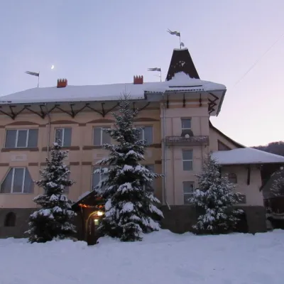 HotelHotel "Perlyna Krasyi" VyshkaVyshka11 km from the centreSaunaParkingWi‑FiNearby: Mt Yavirnyk 9.7 km1 trail
Trails nearby
All trails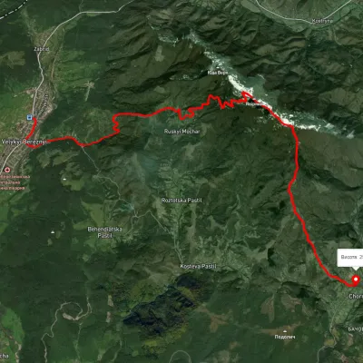 ModerateTwo-dayUnmarkedVelykyi Bereznyi village to Chornoholova villagevia Ruskyi Mochar village, Mount YavirnykElevation profile199–1 014 m20.7 kmascent 918 m≈ 7 h walkingunder 1 km from the centre
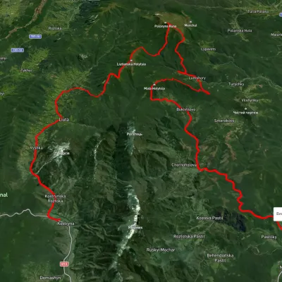 HardMulti-dayUnmarkedKostryno village to Pastilky villagevia Vyshka village, Liuta village +2Elevation profile167–1 472 m79.8 kmascent 3 090 m1.2 km from the centre
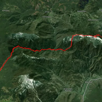 ModerateTwo-dayUnmarkedRuskyi Mochar village to Liuta villagevia Mount Yavirnyk, Batsova Yama tractElevation profile329–1 015 m20.6 kmascent 899 m≈ 7 h walking5.2 km from the centre
Peaks nearby
All peaks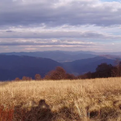 PeakMount YavirnykRuskyi Mocharaltitude 1 017 m7 km from the centre16 trails to the topMount Yavirnyk is a 1,017-meter peak of the Ukrainian Carpathians, which is located within the Polonynsky Beskyd.
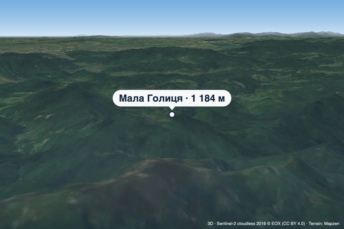 PeakMount Mala HolytsiaLumshoryaltitude 1 184 m7.7 km from the centreMala Holytsia (“Little Holytsia”) is a 1,184 m summit in the north-western part of the Polonynskyi Ridge in Zakarpattia Oblast.
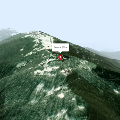 PeakMount Judah TopRuskyi Mocharaltitude 972 m8.7 km from the centreThe top of Mount Judah Top is 972 meters above sea level. The nearest settlements are: Ruskyi Mochar (2.1 km), Sil (4.2 km), Roztotska Pastil (4.3 km).