Yaremcheloop, via Mount Syniachka
Unmarked trailmore
It may be partly marked. Unmarked trails have no information boards, signposts or auxiliary signs (water, campsite, etc.). The decision to walk the trail is entirely your own responsibility.
Trail map
Where to stay nearby
About the trail
Route Yaremche – Mount Syniachka – Yaremche. Along the route you will see: Park-museum Carpathians in miniature, Yaremche, Carpathian National Nature Park, Ecotourism visit center, Yaremche, Mount Sinyachka.
At a glance
A one-day loop route of 16.8 km with 917 m of ascent, starting and finishing at Yaremche. Estimated walking time: about 5.5 h, not counting stops. Difficulty: moderate. Waymarking is missing or partial.
Route stages
- 0–9 kmClimb of 750 m to Mount Sinyachka (1,400 m)
- 9–17 kmDescent of 760 m (down to 619 m)
Steepest kilometre: km 15–16, a descent of 210 m (≈20%).
Water and overnight stays
Springs near the trail: at km 4, 6, 9 and 11.
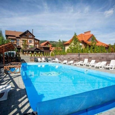
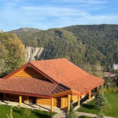
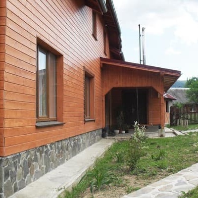
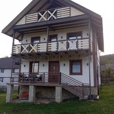
Huts and shelters near the trail: Shepherds' hut on Polonyna Shchivka (km 6), Cabin on Polonyna Shchivka (km 11). Places to stay near the start: Yaremche.
When to go
Best time: May to October. In winter deep snow is possible, so experience and winter gear are needed.
Getting there
Start: Yaremche. This is a loop: it brings you back to the start.
FAQ
- How long does the route take?
- Estimated walking time: about 5.5 h, not counting stops.
- Is there water on the route?
- Springs near the trail: at km 4, 6, 9 and 11.
- Where can I stay overnight?
- Huts and shelters near the trail: Shepherds' hut on Polonyna Shchivka (km 6), Cabin on Polonyna Shchivka (km 11). Places to stay near the start: Yaremche.
Water and shelter on the route
- Spring (Yaremche, 6)km 3.6 from the start · 120 m off the path · Not verified · 1 060 m
- Shepherds' hut on Polonyna Shchivkakm 5.8 from the start · 200 m off the path · Not verified · 1 173 m
- Spring on Polonyna Shchivka (4)km 5.9 from the start · 210 m off the path · Not verified · 1 191 m
- Spring on Polonyna Shchivka (3)km 6.6 from the start · 250 m off the path · Not verified · 1 158 m
- Spring on Polonyna Lazok (2)km 8.1 from the start · 60 m off the path · Not verified · 1 272 m
- Suvy springkm 10.1 from the start · 290 m off the path · Not verified · 1 137 m
- Cabin on Polonyna Shchivkakm 10.5 from the start · 130 m off the path · Not verified · 1 214 m
Comments
What to see on the trail
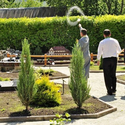 Park-museum Carpathians in miniature, Yaremchealtitude 539 mA unique park-museum "Carpathians in Miniature" was created in Yaremche, which reflects in detail the architectural monuments and cultural heritage...
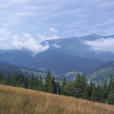 Carpathian National Nature Parkaltitude 539 mThe Carpathian National Nature Park is located on the territory of Yaremche City Council and Verkhovyna district of Ivano-Frankivsk region.
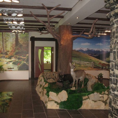 Ecotourism visit center, Yaremchealtitude 539 mThe Ecotourism Visitor Center in Yaremcheis one of the best and most unique tourist information centers in Ukraine.
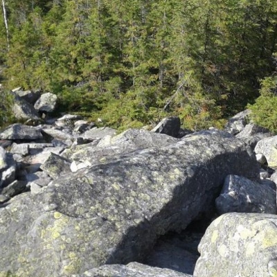 Mount Sinyachkaaltitude 1 400 mMount Sinyachka is a 1400-meter peak in the Gorgan mountain range of the Ukrainian Carpathians, located in the Nadvirna district of Ivano-Frankivsk...
Trails nearby
All trails EasyOne-dayUnmarkedYaremche loopvia Divochi Slozy WaterfallElevation profile560–645 m5.4 kmascent 126 m≈ 1.5 h walking
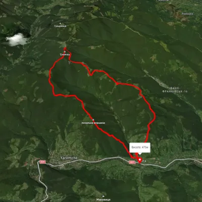 HardTwo-dayMarkedDora hamlet loopvia Bilyi Kamin rock, Mount Syniachka +1Elevation profile476–1 386 m23 kmascent 1 558 m≈ 9 h walking
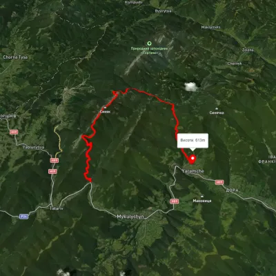 HardMulti-dayUnmarkedZhenets tract to Yaremchevia Mount Khomiak, Mount Syniak +1Elevation profile615–1 658 m31.3 kmascent 1 530 m≈ 11 h walking