Kulishivka
Kulishivka is a village in Ukraine, in the Sokyryany district of the Chernivtsi region. According to the data of 1859, 434 people (230 males and 204 females) lived in the owner's village of Khotyn district of Bessarabia province, there were 84 yards, and there was an Orthodox church. As of 1886, 541 people lived in the owner's village of Romankoutsia parish, there were 101 households, and there was an Orthodox church.
To the west of Kulishivka, in the woods, on a promontory, in the Polyana tract, there is a settlement. Its 140-by-75-meter site is fenced off from the field by two arched ramparts. On the site of the settlement there are finds of Trypillian culture and the Early Iron Age. Two kilometers north of Kulishivka, on a high promontory on the right bank of the Dniester River, in the forest, in the Planka tract, there is a settlement with a triple rampart enclosing a 25-meter-diameter site and two large ramparts enclosing a one-hundred-meter-diameter site. On the territory of the settlement there are finds of Trypillian and Old Russian cultures. To the north of the village, on the right bank of the Potok, there is a settlement. An arcuate rampart over one kilometer long encloses an area measuring 1000 by 300 meters, where there are finds of Scythian, Cherniakhivska, and Slavic cultures. In the western part of Kulishivka, on the left bank of the Potok, there is a settlement of the Old Russian culture, and there is also a settlement of the West Podilian Scythian culture. Two and a half kilometers northwest of the village, on the first alluvial terrace of the Dniester, in the Dubova tract, there are settlements of Trypillian, West Podillia Scythian, Cherniakhivska, and Old Rus' cultures. The site was excavated by the ChKM expedition in 1974-1976. To the south of Kulishivka, on a promontory in the Shchovb tract, there is a settlement. Its 50-meter-diameter site is bounded by an arched rampart on the front side. The site contains finds of pottery from the twelfth and thirteenth centuries. To the southeast of the village, on a high promontory on the right bank of the Dniester, in the Halytsia tract, there is a hillfort. Its 50-meter-diameter site is fenced off from the field by two arched ramparts. The site is home to finds of Trypillian, West Podillia Scythian, and Old Rus cultures. It is believed that the ancient Russian settlement of Halychyna is the remains of the chronicle Kuchelmin.
Toponymic legends and traditions in the village of Kulishivka
The Crimson Rock
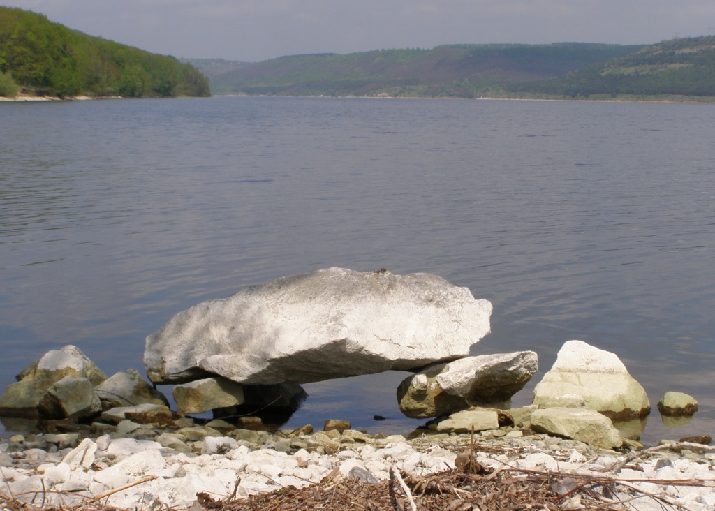
On both sides of the Yarova Road, there are two cliffs - Spochyvna and Bahrova - one of which, Bahrova, is flooded. They were named so because travelers stopped to rest near the first one, and the other one is called the Bagrova (crimson or red) land. And the village has long had a legend about the Crimson Rock. When Turkish troops attacked the village on the Dnipro river, all the people fled and hid in the forests. Women and children hid, while the men took up arms and partisaned near the village, and early in the morning, when the forest was still asleep, they were awakened by the terrible clatter of Turkish horses. In an unequal battle, the Turks and the villagers fought. Everyone defended themselves as best they could. They fought with axes and knives, and blood flowed like a river. Many villagers were dragged away, and suddenly the whole land turned red and crimson, and since then the land and the rock have been called Crimson, and even the grass there has grown crimson. For many years the rock has been flooded, but everyone knows the legend of the Crimson Rock.
The Dniester
Do you know why our river is called the Dniester? No? Then I will tell you. I heard it from old people. An old woman told me this legend. Once upon a time, there was a small nameless stream flowing here, where the Dniester flows, and people lived along it in some places. There were hunters and farmers among them. And they kept their own unusual calendar. Whether they were sowing or waiting for a holiday, in order not to lose track of time, they marked each day on the sand on the bank of the stream with marks. Every day there was a new mark. They used them to determine how many days were left, for example, until spring
But one day the stream overflowed into the neighboring fields and flooded the banks. When the water subsided in the morning, people came to the shore, but their marks were gone.
- "Who erased the days?" people complained and answered themselves.
- "The stream erased the days.
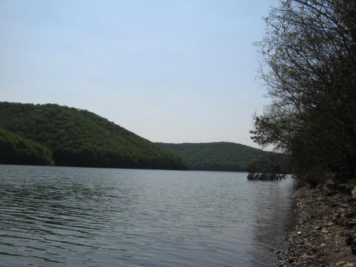
From that time on, the stream that erased the days was called the Dniester. Now it is no longer a stream, but a large river. And it starts in the Carpathians, under a mighty oak tree, where the water once broke through the bottom and washed over the roads in a fountain. The Dniester stretches for many kilometers, clean and blue.
(Admin's note: as for the Dniester, of course, this is also just an element of folklore. The name "Dniester" has been known for a long time. After the disappearance of the completely ancient name of the river, Tiras, there is a mention from ancient times of the name "Dynastris" in the fourth century by Ammianus Marcellinus. In general, the explanation of the origin of the name of the Dniester River can be simple: "don" means water, "stryi" means fast. The Scythians said "don Istros" as in: "river Dnipro" or "river Dniester". But this is also not the truth, and the real origin of the name is still a mystery for centuries).