Novoselytsia
Novoselytsia is a large promising village in the Dolyna district of Ivano-Frankivsk region, located near the Dolyna-Khust highway. The distance from the district center(the town of Dolyna) is about 7 km. The regional center of Ivano-Frankivsk is 157 km away. It is an old village founded in 1657. The population is 1413 people.
In 1648, the villagers took an active part in the popular uprising, for which they faced a bloody massacre after Khmelnytsky's departure. In 1939, the village was home to 1360 inhabitants (1000 Ukrainians, 220 Poles, 30 Latin, 60 Jews, and 50 Germans and other nationalities).
To the west of the village is the Osiy tract , a botanical natural monument of national importance. On the territory of the reserve (12 hectares), a section of beech virgin forest on the slopes of Mt. Osiy (763 m) on the left bank of the Svicha River. There are also hornbeam, sycamore, sharp-leaved maple, and heart-leaved linden. There is a rare species of fern, the scolopendra leaflet, as well as the pre-leaved bulatka and the carniole scopolia, which are listed in the Red Book of Ukraine.
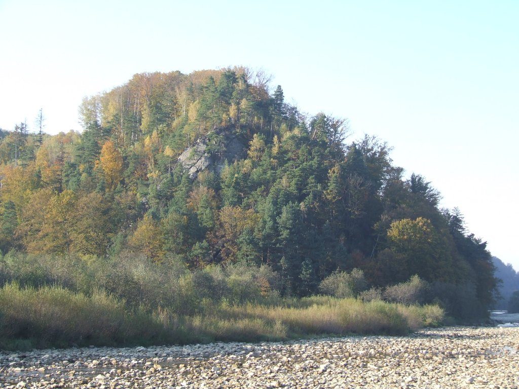
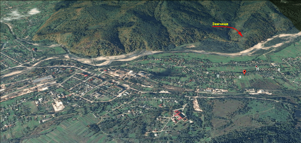
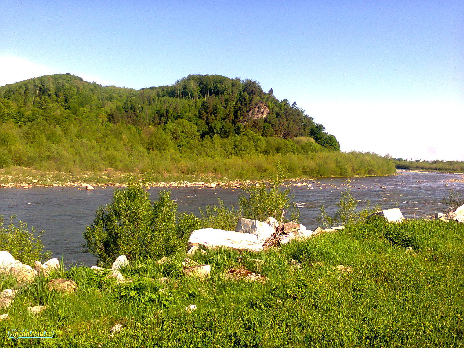
Opposite the village of Novoselytsia is the Zamchyshche tract. It is a small mountain with rather steep rocky slopes, which comes up to the river Svicha. The castle on this mountain was built by Prince Ostroh in the 12th century and stood until the 14th century. Only the defensive ramparts and ditches on the northwestern side remained.
The road to the castle came from the direction of Vihodivka, which is near the village of Vytvytsia. When the settlement of Novoselytsia was founded, the castle had not existed for 100 years. The settlement of Novoselytsia was founded in the 16th century. The remains of the castle are still visible, so the area (the mountain) was called Zamshchyshche. It is still called that way. Today it is still a nature reserve. Relict pines grow here on the bare rocks.
The village residents have a paramedic and obstetric station and a post office. The village has an elementary school with 4 classes, where 10 pupils study and 4 teachers work. There is a village club with 136 seats for cultural recreation and leisure of the youth. In the premises of the village club, there is a library branch No. 44 with an area of 24 square meters, which has about 7170 books. The village of Novoselytsia is fully electrified and gasified, and a radiotelephone network passes through the village. The construction of a kindergarten and primary school has begun.
There are historical monuments in the village: a symbolic grave to the "Fighters for the Freedom of Ukraine", a symbolic monument to the dead villagers during the Second World War is located in the center. In 1929, a cross was erected near the church in honor of the fallen Sich Riflemen.
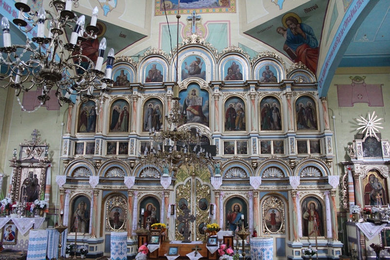
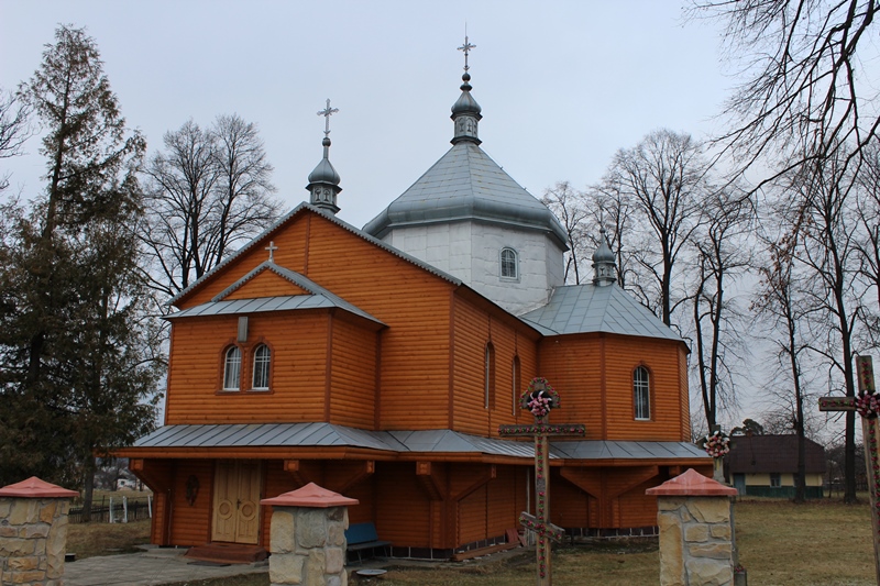
For the spiritual and religious enrichment of the villagers, there is the Church of St. Archangel Michael. It is a cross-shaped, five-domed, wooden church. It was built in 1900 at the expense of the community. The iconostasis is four-tiered, carved, gilded, and the icons are painted on canvas. The bell tower was built together with the church. There is a brotherhood and sisterhood at the church.
The village council, 2 Kropyvnyanska St., +38 (03477) 6-11-72.
Mountain Search and Rescue Service, Vyhoda village, 66 Korolya Danyla Street, +38 (067) 342-04-99, +38 (03477) 6-17-03.
What to visit
Landmarks, museums and places of interest near Novoselytsia.
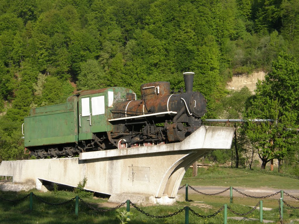
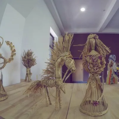 MuseumMuseum "Heritage Center of the Vygoda Narrow Gauge Railway" VygodaVyhoda2 km from the centreIn Ukraine, a unique Museum "Heritage Center of the Vygoda Narrow Gauge Railway" has opened in the village of Vygoda in the Dolyna district.
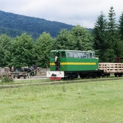 ArchitectureCarpathian TramVyhoda2.3 km from the centreIn 1873, Austrian entrepreneur Baron Leopold Popper von Podgari moved the headquarters of his company from Hungary to Galicia.
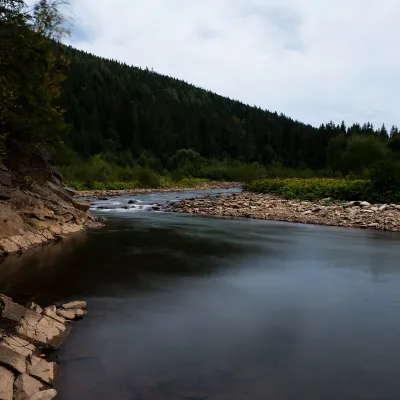 RiverSvicha RiverVyhoda2.3 km from the centreThe Svicha is a 107-km right-bank tributary of the Dniester. It rises on the northern slopes of the main Gorgany divide, flows through Vyhoda, where the Mizunka joins...
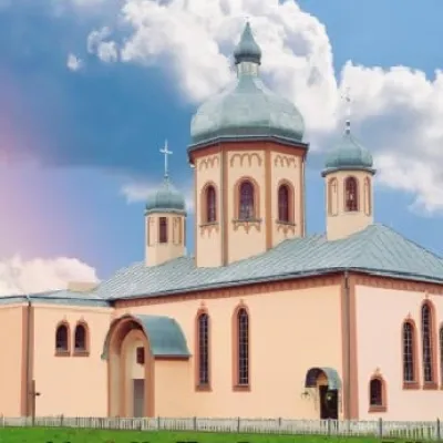 ChurchChurch of the Sacred Heart of Jesus and the Sacred Heart of Mary, DolynaDolyna5.2 km from the centreThe parish "Sacred Heart of Jesus and Sacred Heart of Mary" of the city of Dolyna in the Ivano-Frankivsk Metropolitan of the UGCC was founded in 1992.
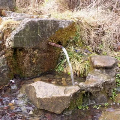 SightMineral Spring, ShevchenkoveShevchenkove5.6 km from the centreBy the road, there is a spring with a sharp smell - this is mineral water rich in hydrogen sulfide. It is used to treat numerous diseases of the gastrointestinal tract.
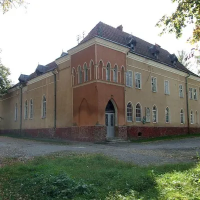 Historic siteHouse of the Sokol Society, DolynaDolyna6.4 km from the centreThe current district house of culture in Dolyna used to be the Sokil Polish sports society, which boasted a large theater hall.
Where to stay
Hotels, guesthouses and cottages in and around Novoselytsia.
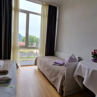 HomesteadManchela HomesteadVyhoda1.4 km from the centreBBQParkingWi‑FiNearby: Carpathian Tram 1.0 kmShyrkovets Swamp 6.7 km
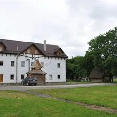 HotelTourist and Recreation Complex "U Dovbusha"Polianytsia18 km from the centreHot tubSaunaBBQNearby: Mountain Polyanytske Lake 5.8 kmSukil Waterfalls 7.7 km
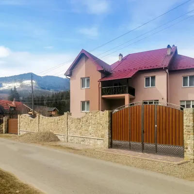 HotelDen HouseMyslivka22 km from the centrePoolSaunaBreakfastNearby: Mt Gorgan-Ilemsky 8.0 kmMt Yayko-Ilemske 10.0 km7 trails
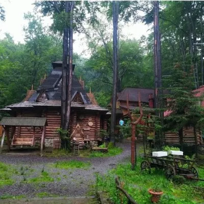 CottageTourist Complex "SKELYA" BubnyshcheBubnyshche19 km from the centreSaunaBBQKitchenNearby: Mountain Polyanytske Lake 5.0 kmMt Klyuch 5.9 km1 trail
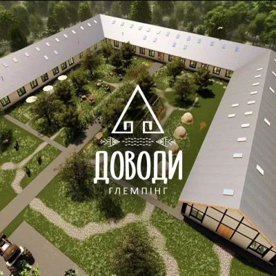 CottageGlamping "DOVODY"Tukholka23 km from the centreGlamping "DOVODY" is the best place for a family vacation. Our glamping is a space of harmony, tranquility, and family relaxation.Nearby: Natalia Kobrynska Museum 6.4 kmCentral pump room 6.5 kmfrom 900 UAH per night
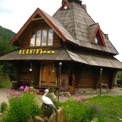 HotelHotel "Vedmid" MykulychynMyslivka21 km from the centreSaunaSPAFireplaceNearby: Mt Gorgan-Ilemsky 8.4 kmPolonyna Shchavna 9.4 km7 trails
Trails nearby
All trails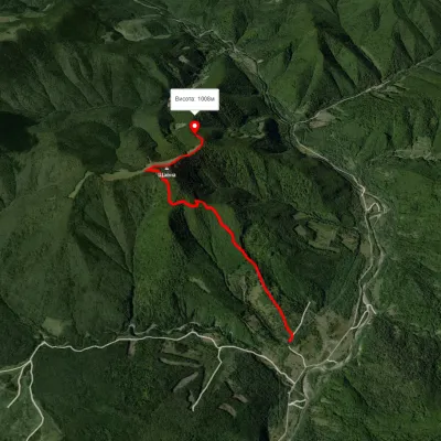 EasyOne-dayMarkedRoute to Mount ShchavnaElevation profile562–1 152 m5 kmascent 710 m≈ 2.5 h walking13 km from the centre
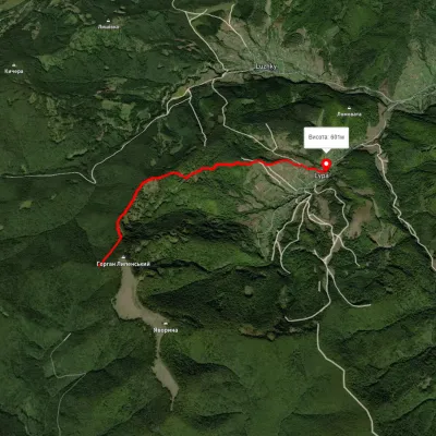 EasyOne-dayMarkedLypa village Robert's Bunkervia YavorynaElevation profile597–1 079 m11.2 kmascent 118 m≈ 3 h walking15 km from the centre
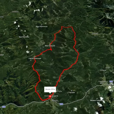 HardMulti-dayUnmarkedMyslivka village loopvia Mount Yayko-Ilemske, Mount Horhan-IlemskyiElevation profile648–1 656 m47.2 kmascent 2 092 m19 km from the centre
Peaks nearby
All peaks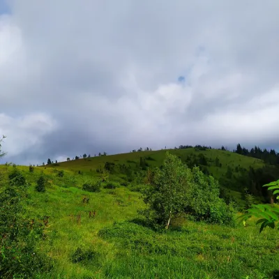 PeakMount YavorinaIvano-Frankivskaltitude 1 131 m16 km from the centreMount Yavorina is located near the village of Lypa in the Dolyna district of Ivano-Frankivsk region, with a height of 1131 meters.
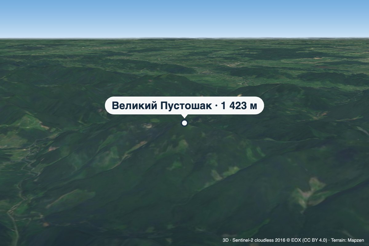 PeakMount Velykyi PustoshakMyslivkaaltitude 1 423 m · Gorgany range21 km from the centreVelykyi Pustoshak is a 1,423 m summit (1,427 m according to other sources) in the northern Gorgany, in the Kalush district of Ivano-Frankivsk Oblast.
 PeakMount YavorinkaTrukhanivaltitude 940 m23 km from the centre1 trail to the topThe top of Mount Yavorinka is 940 meters above sea level. Mount Yavorinka is the highest peak of the Klyucha ridge, steep from the north and completely forested.