Voronenko villageloop, via Mount Kukul
Unmarked trailmore
It may be partly marked. Unmarked trails have no information boards, signposts or auxiliary signs (water, campsite, etc.). The decision to walk the trail is entirely your own responsibility.
Trail map
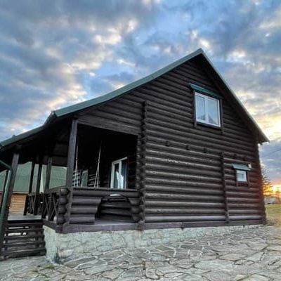
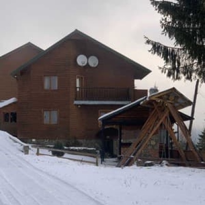
Where to stay nearby
About the trail
Route Voronenko village – Mount Kukul – Voronenko village. Along the route you will see: Polonyna Kukul (Kukul), Voronenko, Mount Kukul.
At a glance
A loop route of 29.5 km with 1,248 m of ascent, starting and finishing at Voronenko village. Estimated walking time: about 9.5 h, not counting stops — a very long day, so it is easier split into 2 days. Difficulty: hard. Waymarking is missing or partial.
Route stages
- 0–5 kmGentle ups and downs at 920–1,000 m
- 5–11 kmClimb of 450 m to Hut on Polonyna Hryhorivka
- 11–17 kmAlong the ridge at 1,360–1,560 m, past Mount Kukul
- 17–23 kmGentle ups and downs at 1,210–1,410 m
- 23–25 kmDescent of 260 m (down to 951 m)
- 25–30 kmGentle ups and downs at 920–1,000 m
Steepest kilometre: km 23–24, a descent of 210 m (≈20%).
Water and overnight stays
Springs near the trail: at km 10, 12, 16, 18 and 23. There are no springs between km 0 and 10 — carry at least 2 l of water.
Huts and shelters near the trail: Hut on Polonyna Hryhorivka (km 10), Hut on Polonyna Serednia (km 17), Hut (Voronenko, 3) (km 22), Hut (Voronenko) (km 22), Hut (Voronenko, 4) (km 22). Places to stay near the start: Yablunytsia.
A possible split into days:
- Day 1: km 0–10, ≈3.5 h — overnight: Hut on Polonyna Hryhorivka (hut)
- Day 2: km 10–30, ≈6 h — finish
When to go
Best time: May to October. In winter deep snow is possible, so experience and winter gear are needed.
Getting there
Start: Voronenko village. Most places to stay near the start are in Yablunytsia. This is a loop: it brings you back to the start.
FAQ
- How long does the route take?
- Estimated walking time: about 9.5 h, not counting stops — a very long day, so it is easier split into 2 days.
- Is there water on the route?
- Springs near the trail: at km 10, 12, 16, 18 and 23. There are no springs between km 0 and 10 — carry at least 2 l of water.
- Where can I stay overnight?
- Huts and shelters near the trail: Hut on Polonyna Hryhorivka (km 10), Hut on Polonyna Serednia (km 17), Hut (Voronenko, 3) (km 22), Hut (Voronenko) (km 22), Hut (Voronenko, 4) (km 22). Places to stay near the start: Yablunytsia. Possible overnight stops: Hut on Polonyna Hryhorivka (km 10).
Water and shelter on the route
- Spring (Voronenko, 12)km 9.4 from the start · Not verified · 1 311 m
- Hut on Polonyna Hryhorivkakm 9.7 from the start · Standing · 1 314 m
- Spring (Voronenko, 14)km 10 from the start · 50 m off the path · Not verified · 1 341 m
- Spring below Mount Kukul (5)km 11.8 from the start · Not verified · 1 340 m
- Spring below Mount Kukul (7)km 15.6 from the start · 240 m off the path · Not verified · 1 363 m
- Hut on Polonyna Seredniakm 16.7 from the start · 50 m off the path · Standing · 1 336 m
- Spring below Mount Kukul (6)km 16.8 from the start · Not verified · 1 350 m
- Hut (Voronenko, 3)km 21.3 from the start · Not verified · 1 150 m
- Hut (Voronenko)km 21.3 from the start · Not verified · 1 152 m
- Hut (Voronenko, 4)km 21.3 from the start · Not verified · 1 152 m
- Spring (Voronenko, 9)km 21.5 from the start · 150 m off the path · Not verified · 1 146 m
- Spring (Voronenko, 10)km 22.3 from the start · 60 m off the path · Not verified · 1 063 m
Comments
What to see on the trail
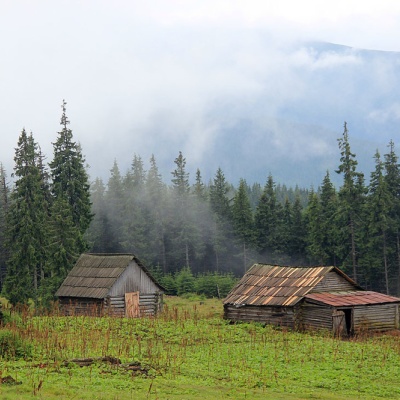 Polonyna Kukul (Kukul), Voronenkoaltitude 1 440 mPolonyna Kukul is a mountain meadow in the Ukrainian Carpathians, within the Kukul ridge (Kukul mountain - 1539 m), administratively located within...
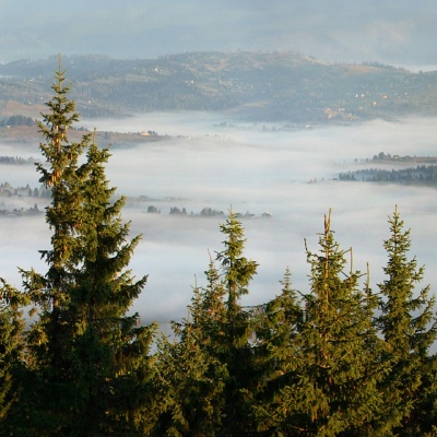 Mount Kukulaltitude 1 539 mKukul (another name - Kukul) is a 1539-meter peak in the Ukrainian Carpathians, which is located in the northern direction of the Chornohora...
Trails nearby
All trails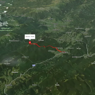 ModerateOne-dayMarkedVorokhta Mount Kukulvia Perehslyp tractElevation profile738–1 518 m11.7 kmascent 1 108 m≈ 5 h walking
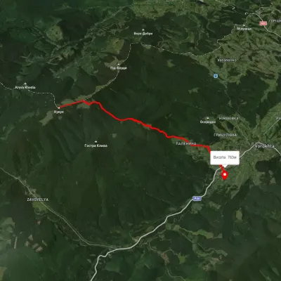 EasyOne-dayUnmarkedMount Kukul VorokhtaElevation profile763–1 528 m9.2 kmascent 98 m≈ 2.5 h walking
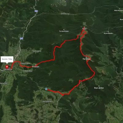 HardMulti-dayUnmarkedVoronenko village to Vorokhtavia Mount KukulElevation profile735–1 528 m24.8 kmascent 1 087 m≈ 8.5 h walking