Perkalaba – Mount Tomnatyk
About the route:
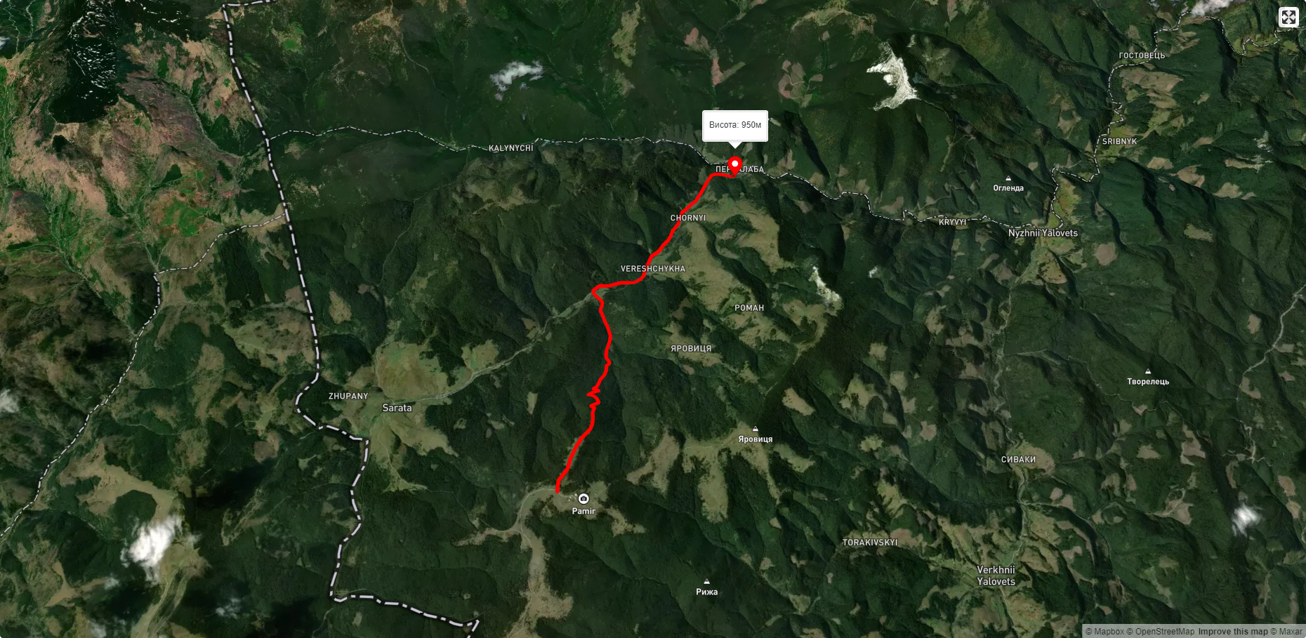
Route Perkalaba – Mount Tomnatyk. Has blue marking. Trail length 8746m. Lowest point - 951m., highest point - 1538m. Total elevation gain 366m. Along the route you will see: Carpathian Pamir, Sarata.
🎮 3D hike
Walk this route in 3D
Real terrain, satellite map, Carpathian forests
Play →
To add a comment you can: login or register.
What to see along the route:
47.76438466210499,25.034471247387685 | Altitude: 1188м
Carpathian Pamir, Sarata
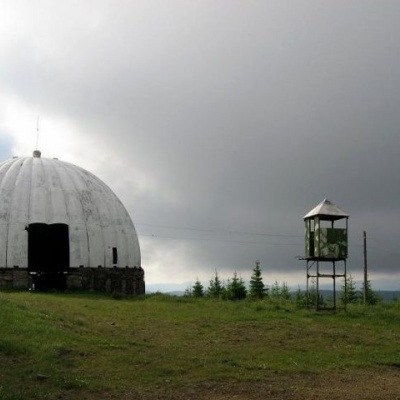 From the 1960s until the mid-1990s, a secret radar station operated on one of the highest peaks of the Bukovyna Carpathians, Mount Tomnatyk. The secret military facility was located at an altitude of 1565 meters in the mountains for a reason. The border with Romania runs nearby. At the height of the Cold War with the Western world, the USSR built a military station that was supposed to provide radar coverage of a vast territory, from the Turkish coast to the Baltic Sea.
... More...
From the 1960s until the mid-1990s, a secret radar station operated on one of the highest peaks of the Bukovyna Carpathians, Mount Tomnatyk. The secret military facility was located at an altitude of 1565 meters in the mountains for a reason. The border with Romania runs nearby. At the height of the Cold War with the Western world, the USSR built a military station that was supposed to provide radar coverage of a vast territory, from the Turkish coast to the Baltic Sea.
... More...
