Maniava village - Monastyretska polonyna
Trail map
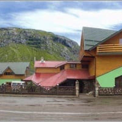
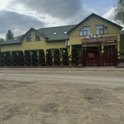
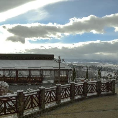
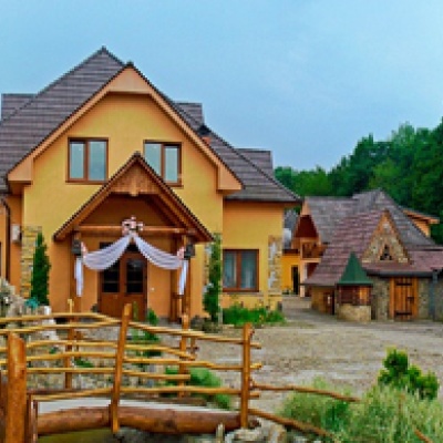
Where to stay nearby
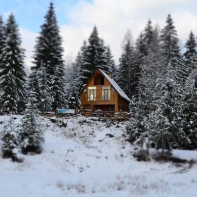
About the trail
Route Maniava village - Monastyretska polonyna. Has yellow marking (short routes, connecting paths, shortcuts). Along the route you will see: Museum of the brown bear, Maniava Blessed Stone.
At a glance
A one-day route of 7.3 km with 776 m of ascent from Maniava village to Monastyretska polonyna. Estimated walking time: about 3 h, not counting stops. Difficulty: moderate. Waymarking: yellow.
Route stages
- 0–2.5 kmClimb of 220 m to Maniava Blessed Stone
- 2.5–7.5 kmGentle ups and downs at 730–940 m
Steepest kilometre: km 4–5, a climb of 150 m (≈15%).
Water and overnight stays
A spring near the trail: at km 2.5.
Places to stay near the start: Bohorodchany.
When to go
The route can be walked most of the year; it is most comfortable from April to October.
Getting there
Start: Maniava village. Most places to stay near the start are in Bohorodchany. This is a one-way route: the finish is 5 km from the start in a straight line, so plan your way back in advance.
FAQ
- How long does the route take?
- Estimated walking time: about 3 h, not counting stops.
- Is there water on the route?
- A spring near the trail: at km 2.5.
- Where can I stay overnight?
- Places to stay near the start: Bohorodchany.
Water and shelter on the route
- Spring (Maniava, 4)km 2.7 from the start · 40 m off the path · Not verified · 723 m
Comments
What to see on the trail
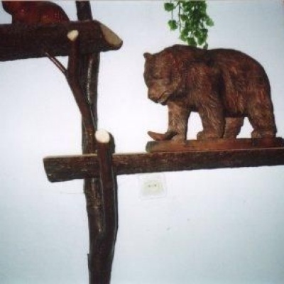 Museum of the brown bearaltitude 558 mThe initiator of this unusual museum in the village of Manyava was an ecologist Mykola Skidaniuk, who is concerned about the threat of the brown...
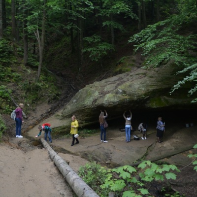 Maniava Blessed Stonealtitude 558 mThe blessed stone is a huge boulder from under which healing water flows. It is the same water that saved the monks from thirst.
Trails nearby
All trails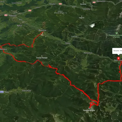 HardMulti-dayUnmarkedPasichna village to Bystrytsia villagevia Maniava village, Maniava Waterfall +1Elevation profile497–1 835 m69.7 kmascent 3 340 m
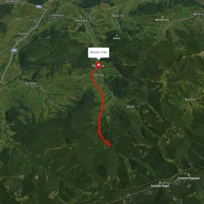 EasyOne-dayMarkedManiava village Maniava WaterfallElevation profile515–740 m7 kmascent 170 m≈ 2 h walking
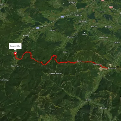 HardMulti-dayMarkedHuta village Pasichna villageElevation profile524–1 217 m26.4 kmascent 2 293 m≈ 11 h walking