Mount Stii
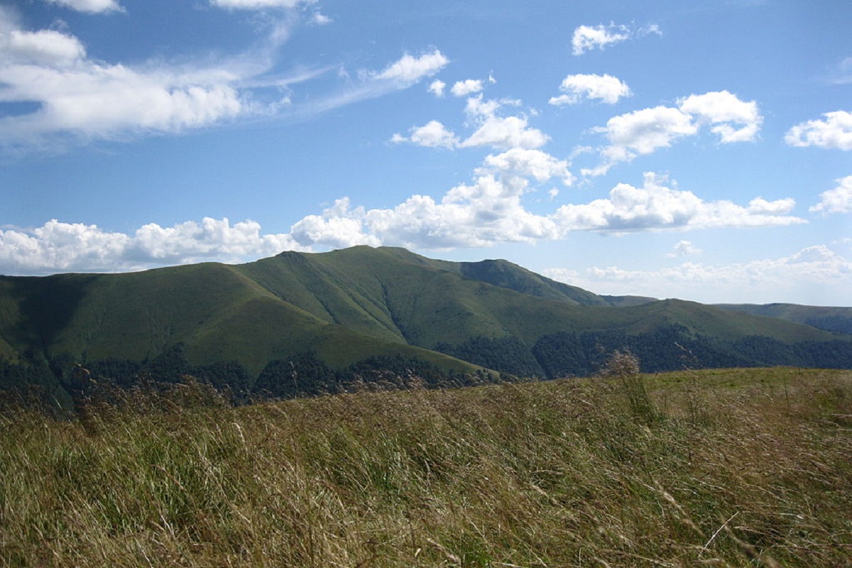
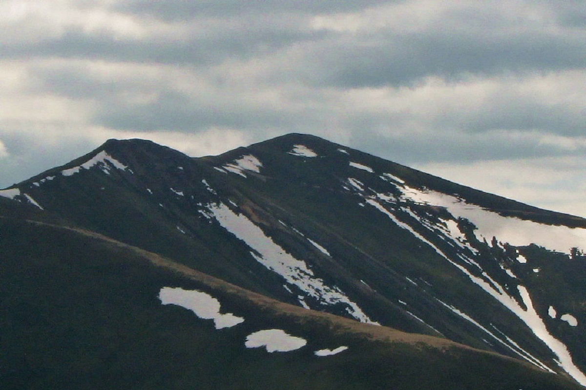
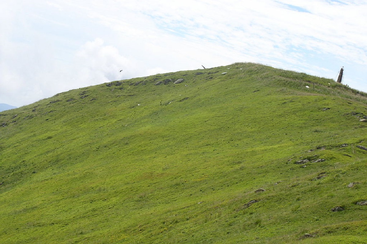
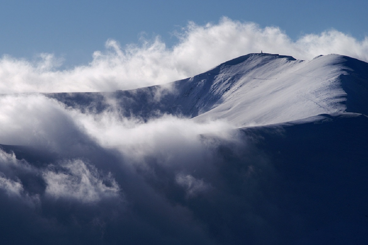
Stiy (also known as Stoy) is the highest peak of the Polonyna Borzhava mountain range on the Polonyna ridge (Polonyna Beskyd), located in the inner zone of the Ukrainian Carpathians. It is located within the Transcarpathian region. The height is 1681 meters.
The slopes of Mount Stiy are steep in the western direction, and gentler in the southern and eastern directions. Up to an altitude of 1100-1200 meters, the peak is covered with beech and beech-spruce virgin forests, and above the forest belt - with blueberry thickets.
On the western slopes of Mount Stiy there is a forest reserve of national importance called Rosishnyi.
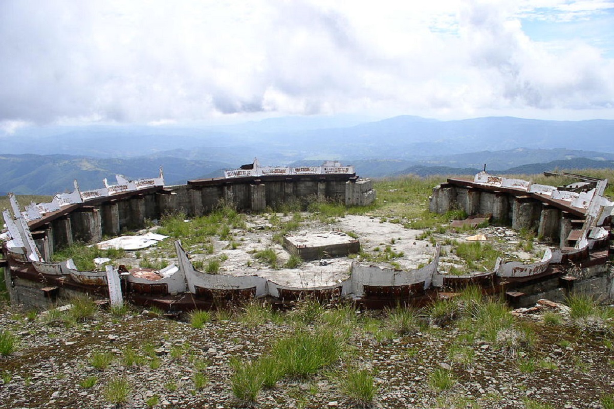
During the Soviet era, a radar station operated at the top. Later it was dismantled and today only numerous ruins remind us of the former radar.
The nearest settlement is the village of Vovchyi in Svaliava district, Zakarpattia region.
Location on the map
Water and shelter nearby
- Spring below Mount Stii1.4 km · Not verified · 1 257 m
- Spring below Mount Stii (3)1.9 km · Not verified · 1 284 m
- Spring below Mount Stii (4)1.9 km · Not verified · 1 320 m
- Spring below Mount Stii (2)1.9 km · Not verified · 1 308 m
- Spring below Mount Biletskyi Verkh2.1 km · Not verified · 1 337 m
- Spring below Mount Biletskyi Verkh (2)2.5 km · Not verified · 1 151 m
- Spring (Vovchyi, 9)2.8 km · Not verified · 1 186 m
Comments
Places to stay nearby
All stays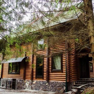 HomesteadHomestead "Pos Pylypets"Pylypets7.5 km from Mount StiiKitchenWi‑FiPetsNearby: Shypit Waterfall 500 mMt Gemba 3.0 km17 trails
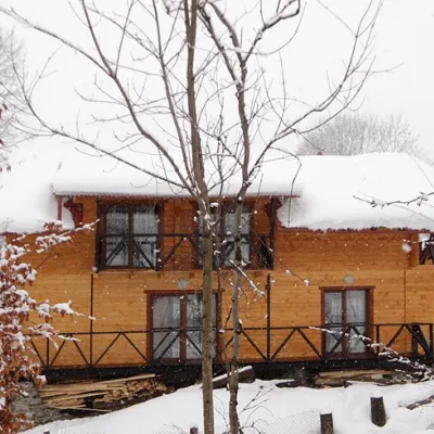 HomesteadHomestead "Dva Braty" Podobovets (sauna, tub)Podobovets8.9 km from Mount StiiHot tubSaunaBBQNearby: Shypit Waterfall 2.0 kmMt Gemba 4.5 km16 trails
 HotelHotel "Horyanyn" PylypetsPylypets7.8 km from Mount StiiSaunaBBQParkingNearby: Shypit Waterfall 800 mMt Gemba 3.1 km17 trails
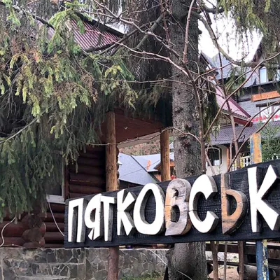 HotelHotel "Piatkovskyi" PylypetsPylypets7.9 km from Mount StiiSaunaSPABBQNearby: Shypit Waterfall 1000 mMt Gemba 3.2 km17 trails
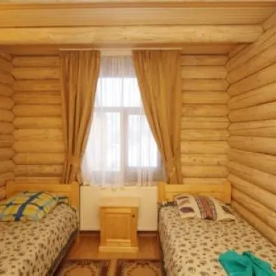 HotelHotel "Shepit Karpat" PylypetsPylypets8 km from Mount StiiPoolSaunaParkingNearby: Shypit Waterfall 1.1 kmMt Gemba 3.2 km17 trails
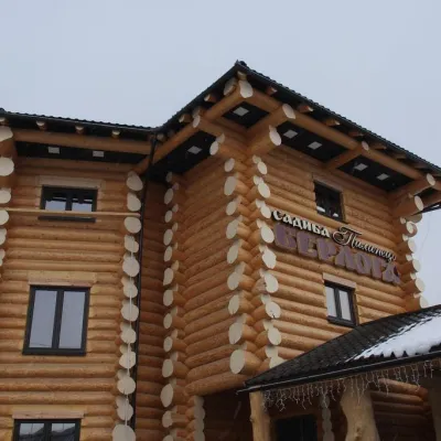 HotelHotel-Restaurant Complex "Berloga Pylypets"Pylypets8.2 km from Mount StiiHot tubSaunaParkingNearby: Shypit Waterfall 1.3 kmMt Gemba 3.3 km17 trails
Trails via Mount Stii
All 28 HardMulti-dayUnmarkedVolovets village to Pylypets villagevia Mount Stiy, Shypit WaterfallElevation profile500–1 674 m33.5 kmascent 1 684 m≈ 11.5 h walking
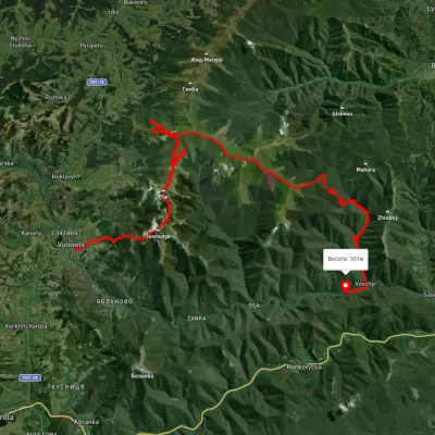 HardMulti-dayUnmarkedVolovets to Vovchyi villagevia Mount Tsytska, Mount Temnatyk +3Elevation profile276–1 676 m50.4 kmascent 3 297 m
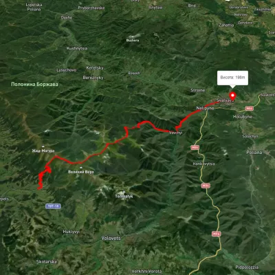 HardMulti-dayUnmarkedPylypets village to Svaliavavia Mount Hemba, Mount Stiy +1Elevation profile196–1 657 m40.2 kmascent 1 359 m≈ 13 h walking
Nearby attractions
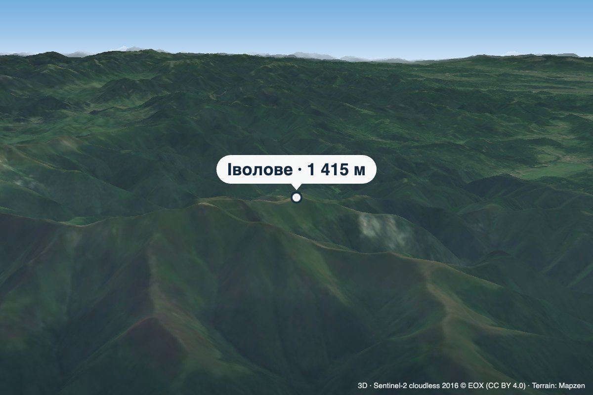 PeakMount IvoloveVovchyialtitude 1 415 m · Borzhava range1.9 km from Mount StiiIvolove (sometimes spelled Ivolovo) is a 1,415 m summit in the Polonyna Borzhava massif in Zakarpattia Oblast.
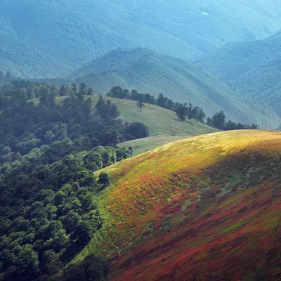 PeakMount Biletsky VerkhPodobovetsaltitude 1 146 m · Borzhava range3.6 km from Mount Stii1 trail to the topBiletsky Verkh is a mountain 1146 m above sea level on the Borzhava ridge. The mountain is on the route (26.7 km long) from the village of Podobovets past the Shypit...
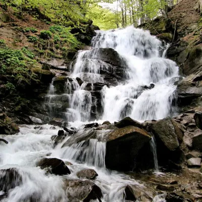 Waterfall"Shypit Waterfall" PylypetsPylypets7 km from Mount StiiIn a cozy corner of the Carpathian Mountains, among the evergreen mountain forests and steep, sharp cliffs, lies the most full-flowing and beautiful waterfall in...