Berehove lowlands
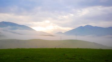
The BerehoveLowlands (also known as the Berehove Hills) is an array of flat-topped volcanic hills and dissected sloping surfaces on the right bank of the Borzhava River, near the city of Berehove (Zakarpattia oblast).
It stretches from the village of Zatyshne to the village of Bene from northwest to southeast as a separate "island" in the midst of the Transcarpathian lowlands.
The length of the Berehove Lowland is 12-18 km, width 3-9 km. Altitude: 250-300 m above sea level, the maximum is 369 m (near the village of Muzhiyevo). It consists of liparites and liparite tuffs.
Minerals include perlite, kaolinite, alunite, lead-zinc ores, silver; near the village of Muzhiyevo there are gold deposits (see Muzhiyevo gold deposit).
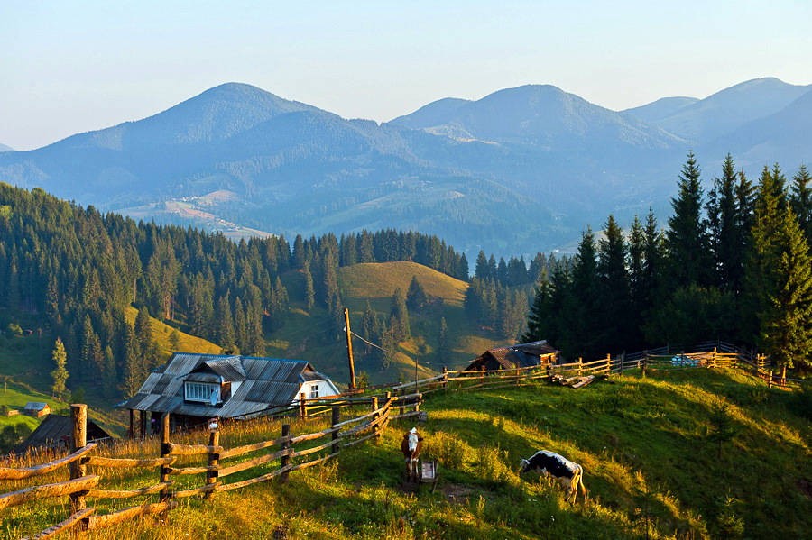
Accommodation around Berehove lowlands:


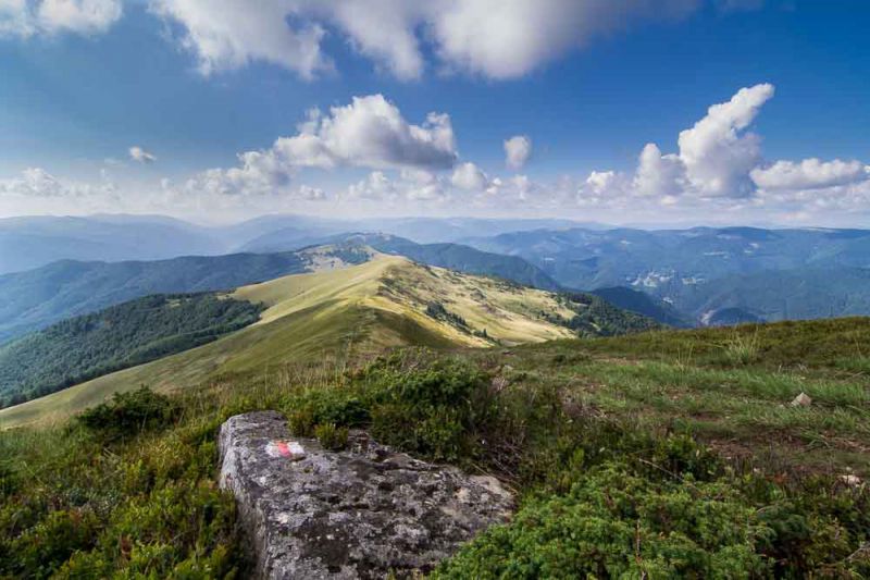
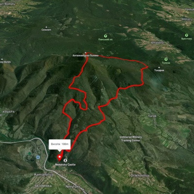
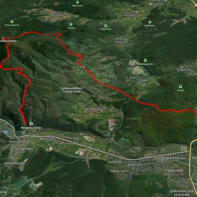
Nearby hiking trails near Berehove lowlands:
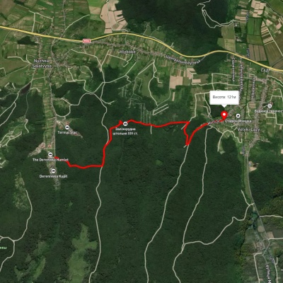
Which trails pass by Berehove lowlands?
We suggest these hiking trails through or near Berehove lowlands: Carpathian Metro hiking route, Kamianytsia village – Antalovetska Poliana – Kamianytsia village, Kamianytsia village, via Antalovetska Poliana and Yarok village to Uzhhorod, Yarok village, via Antalovetska Poliana to Nevytske village, Yarok village, via Antalovetska Poliana to Vorochovo village, Perechyn village, via Antalovetska Poliana to Kamianytsia village